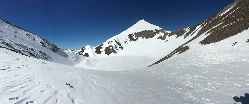
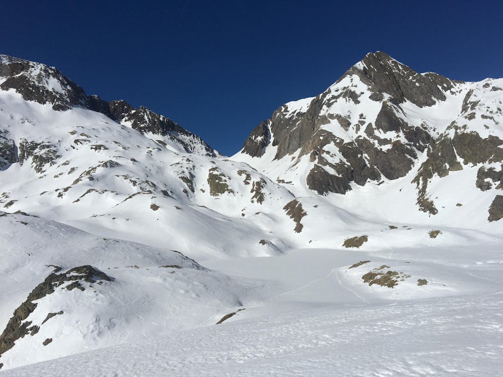
Ref. Bachimaña - Tebarray - Sallent de Gallego
bonita ruta para volver a sallent desde el refugio de Bachimaña
Ski Touring Difficult
- Distance
- 15 km
- Ascent
- 941 m
- Descent
- 1.8 km
- Duration
- 6-7 hrs
- Low Point
- 1.3 km
- High Point
- 2.9 km
- Gradient
- 37˚

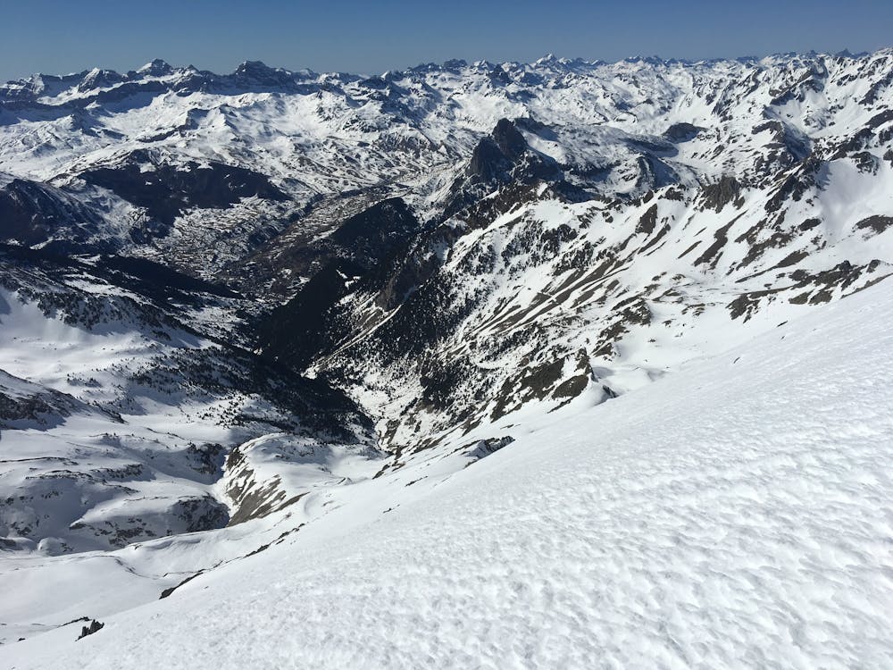
This is a popular ski touring route which is generally considered to be difficult. It's remote, it features high exposure (e3) and is typically done between January and March. From a low point of 1.3 km to the maximum altitude of 2.9 km, the route covers 15 km, 941 vertical metres of ascent and 1844 vertical metres of descent. It's graded 3.1 and Labande grade 3. You'll need skins, ice axe and crampons to complete it safely.
- •
- •
- •
Description
comoda subida para un descenso laargo laargo, mejor si la nieve llega hasta sallent
Difficulty
Difficult
Serious gradient of 30-38 degrees where a real risk of slipping exists.
High Exposure (E3)

In case of a fall, death is highly likely.
Remoteness

Away from help but easily accessed.
Best time to visit
Features
- Face
- Alpine
- Cliffs
- Couloir
- Tree Skiing
- Ski Mountaineering
Equipment required
- Skins
- Ice axe
- Crampons