Los Volcanes and Timanfaya
A fantastic loop taking in some of the best and most unusual scenery you're ever likely to see.
Mountain Biking Difficult
- Distance
- 56 km
- Ascent
- 1 km
- Descent
- 1 km
- Duration
- 4-5 hrs
- Low Point
- 11 m
- High Point
- 359 m
- Gradient
- 4˚

For the hardcore downhill biker this tour won't have much appeal, but for those looking for a long and wonderfully scenic tour, it's unmissable.
- •
- •
- •
- •
- •
Description
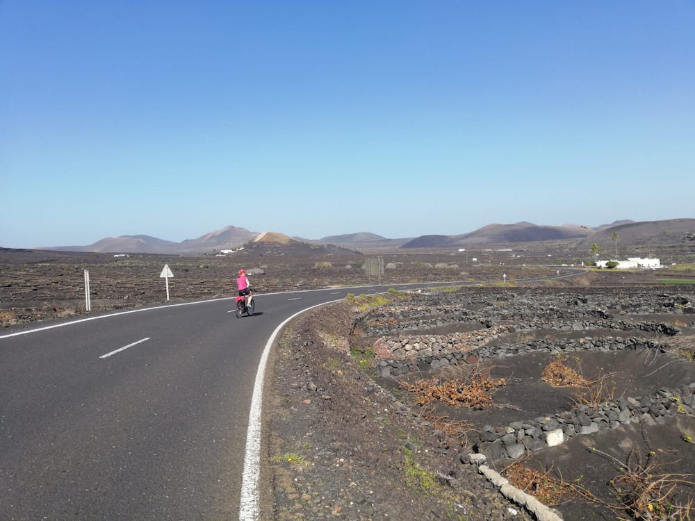
Most people start in Puerto del Carmen because this is the home to many bike hire shops and it's also a logical start/finish point if you want to go across the island from the south coast to the north.
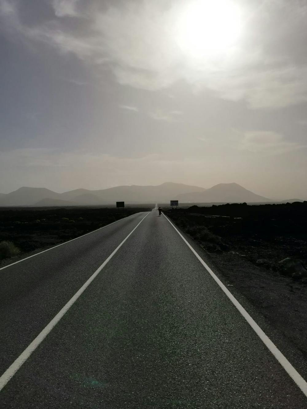
The initial 16 kilometres of this route (up to Mancha Blanca village) is on roads and while it is possible to detour onto small tracks at times, sticking to the road is much easier and quicker. Traffic is minimal too, so you'll be able to enjoy the scenery and an element of solitude even from the road.
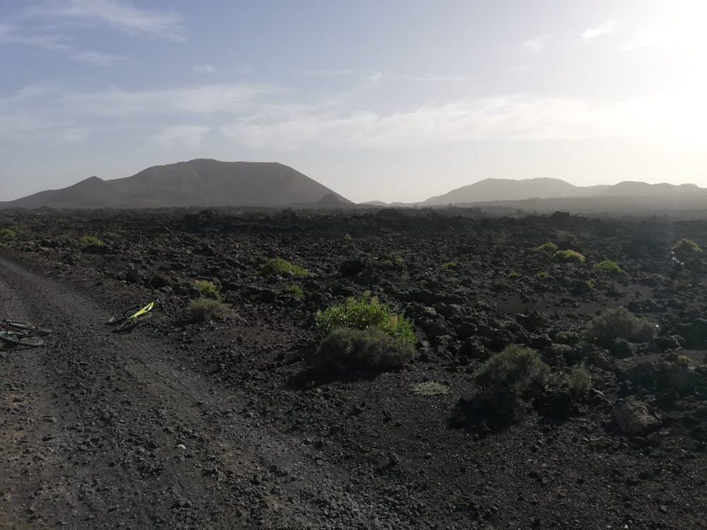
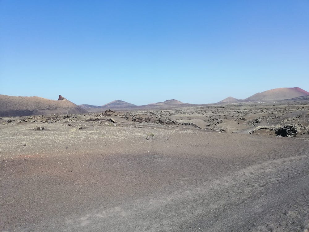
Once past Mancha Blanca the road quickly becomes a bumpy jeep track, so be prepared for a slightly jarring ride on the northern section of the route. Full suspension will certainly help matters but regardless, a bit of rattling around is a small price to pay for passing through the amazing, desolate lava fields that the northern section traverses.
There is so much to look at on this northern section, from the famous volcano crater of Caldera Blanca to the mountains of northeast Lanzarote, and the wild Atlantic Ocean to the north.
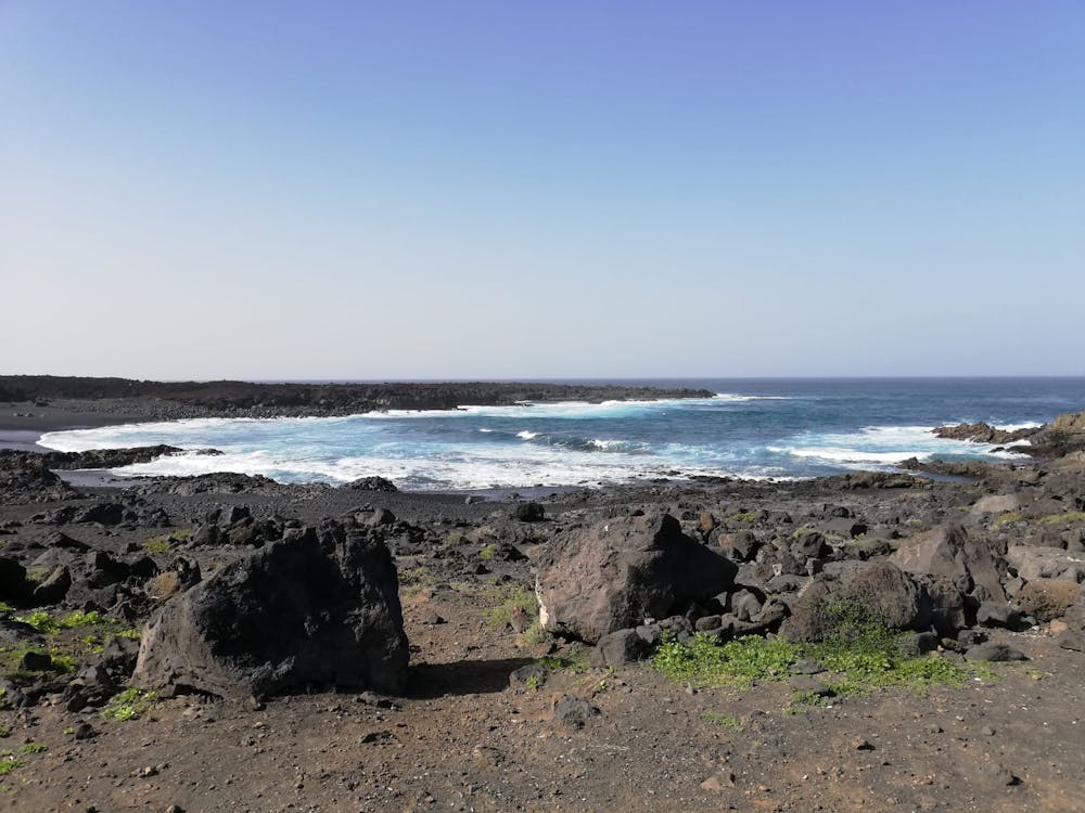
When the jeep track reaches a junction north-northwest of Caldera Blanca, there is an optional detour to the black sands and crashing waves of Playa de la Madera. This is highly recommended and is marked here as part of the route.
Regardless of whether you go to Playa de la Madera, the route begins to head south and loop around Caldera Blanca. This 7 kilometre section, from north-northwest of Caldera Blanca to the LZ-67 road, is the toughest section of the route. While there are minimal uphill sections the track is very sandy and rocky and you will have to get off to push your bike at fairly regular intervals. Even the most stoic of riders will find themselves getting a little frustrated on this section, but try to enjoy the scenery even if the riding is pretty tedious.
Once back on the road, enjoy the scenery as you wind your way back to Puerto del Carmen. Sadly 7.5 kilometres (from Yaiza to the outskirts of Macher) of the return trip is on a relatively busy main road, but there is a cycle lane and the fact that by this stage you are almost in touching distance of a cold beer should keep you going. Once back in Puerto del Carmen there is no shortage of bars and restaurants from which to toast your day.
Difficulty
Difficult
Mostly stable trail tread with some variability featuring larger and more unavoidable obstacles that may include, but not be limited to: bigger stones, roots, steps, and narrow curves. Compared to lower intermediate, technical difficulty is more advanced and grades of slopes are steeper. Ideal for upper intermediate riders.
Low Exposure

The path is on completely flat land and potential injury is limited to falling over.
Remoteness

Little chance of being seen or helped in case of an accident.
Best time to visit
Features
- Picturesque
- Road sections