Adventure to the Costas´ 3rd highest Peak
A workout for sure but 360º views as reward!
Hiking Difficult
- Distance
- 14 km
- Ascent
- 811 m
- Descent
- 811 m
- Duration
- 4-5 hrs
- Low Point
- 434 m
- High Point
- 1.1 km
- Gradient
- 13˚

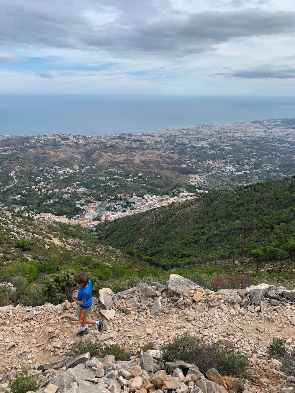
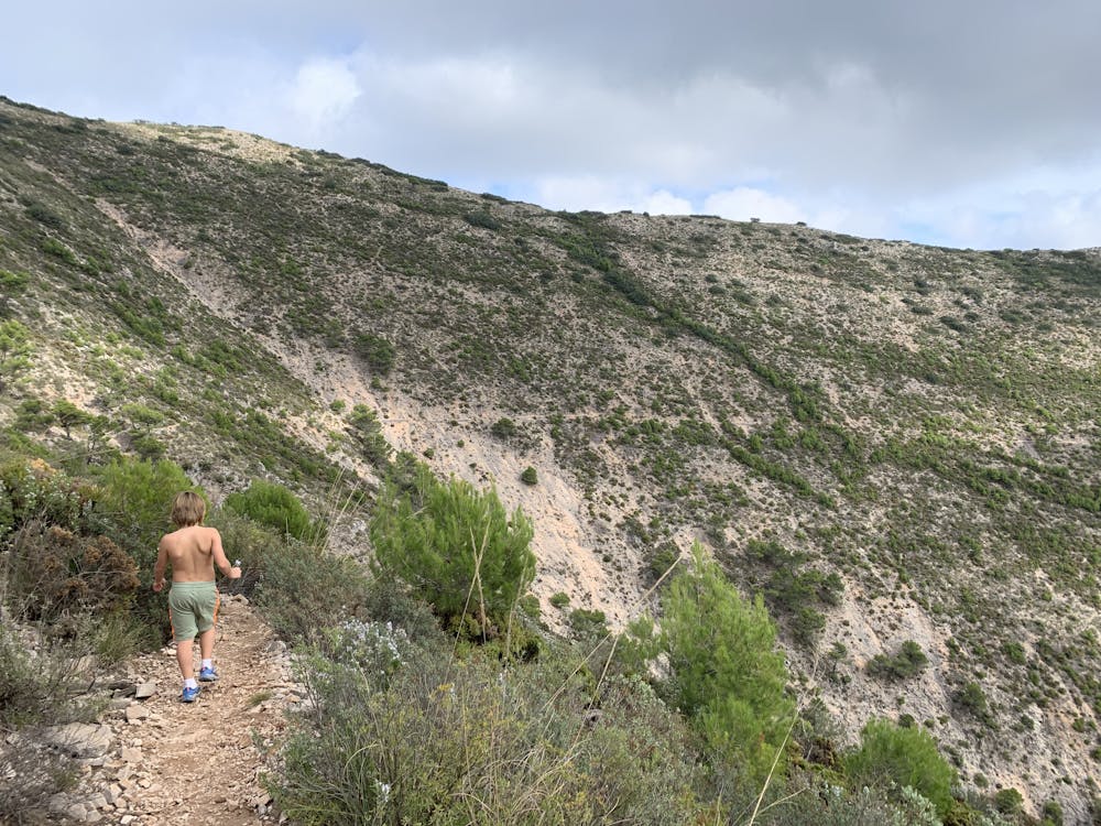
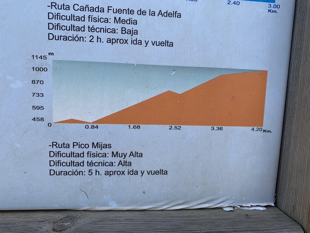
This is a popular hiking route which is generally considered to be difficult. It's remote, it features medium exposure and is typically done between September and June. From a low point of 434 m to the maximum altitude of 1.1 km, the route covers 14 km, 811 vertical metres of ascent and 811 vertical metres of descent.
- •
- •
- •
- •
- •
- •
Description
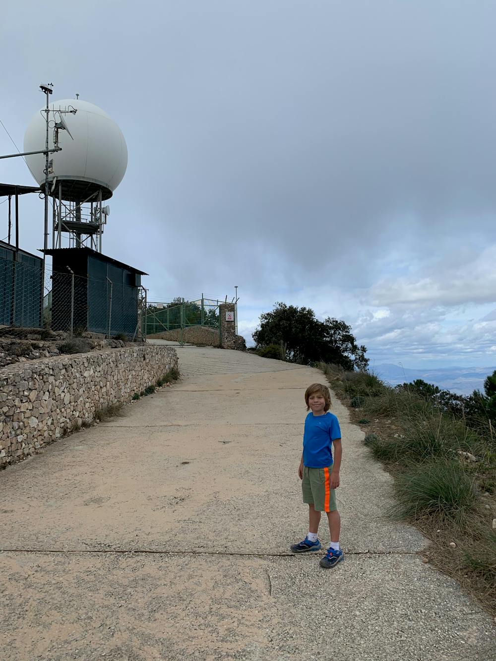
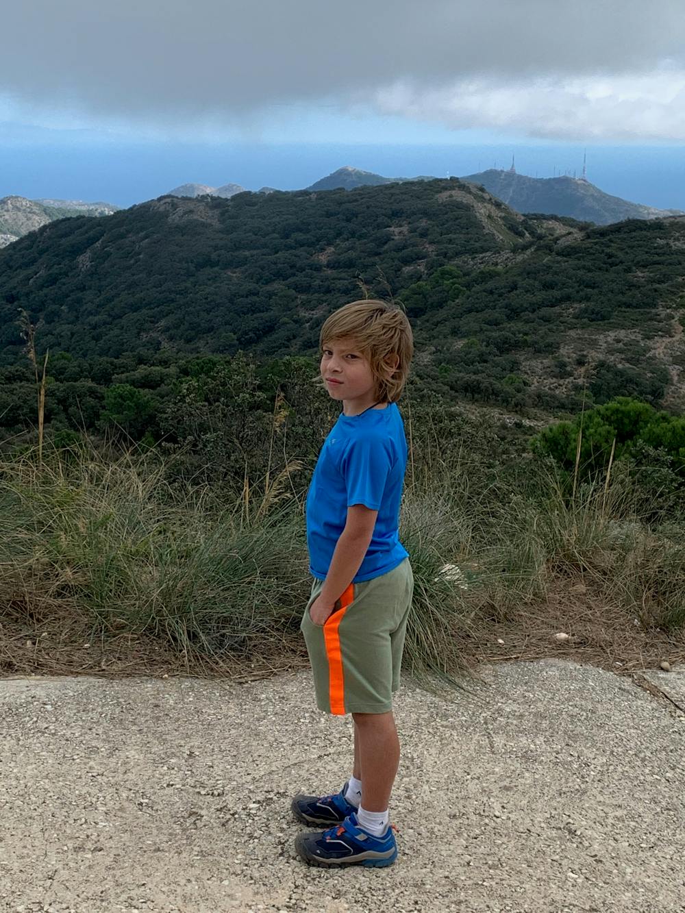
Arriving at the weather station atop of Pico de Mijas one cannot but sense a feeling of great satisfaction. My 9 year and I took 3 hours to get to the top and were quite tired by the time we looped back down to Mijas Pueblo but it was well worth it!
Difficulty
Difficult
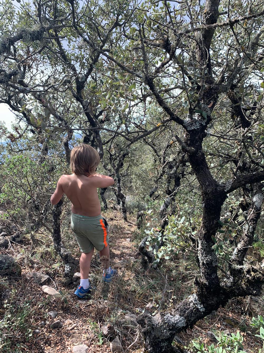
Hiking trails where obstacles such as rocks or roots are prevalent. Some obstacles can require care to step over or around. At times, the trail can be worn and eroded. The grade of the trail is generally quite steep, and can often lead to strenuous hiking.
Medium Exposure

The trail contains some obstacles such as outcroppings and rock which could cause injury.
Remoteness
Away from help but easily accessed.
Best time to visit
Features
- Alpine
- Picturesque
- Summit Hike
- Wild flowers
- Family friendly