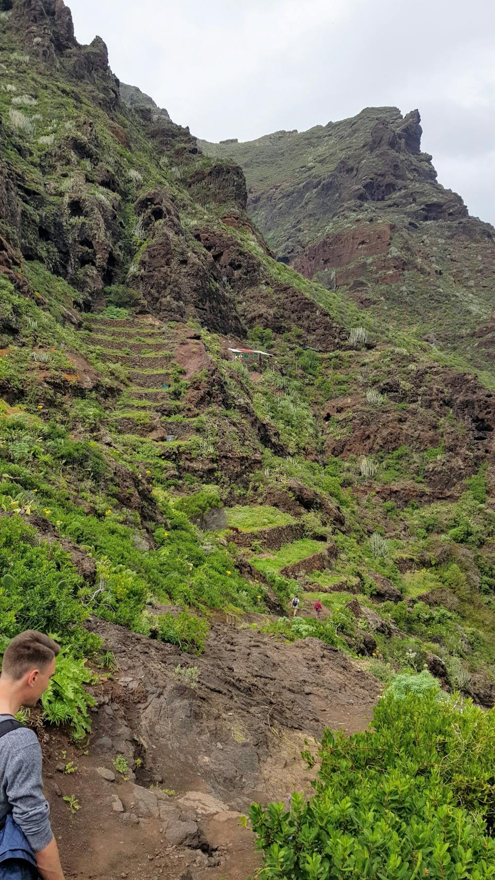
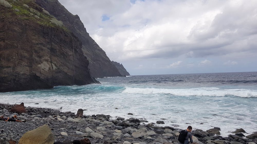
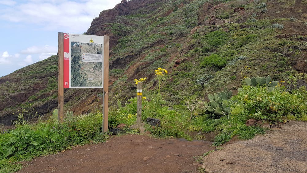
Afur - Playa de Tamadite
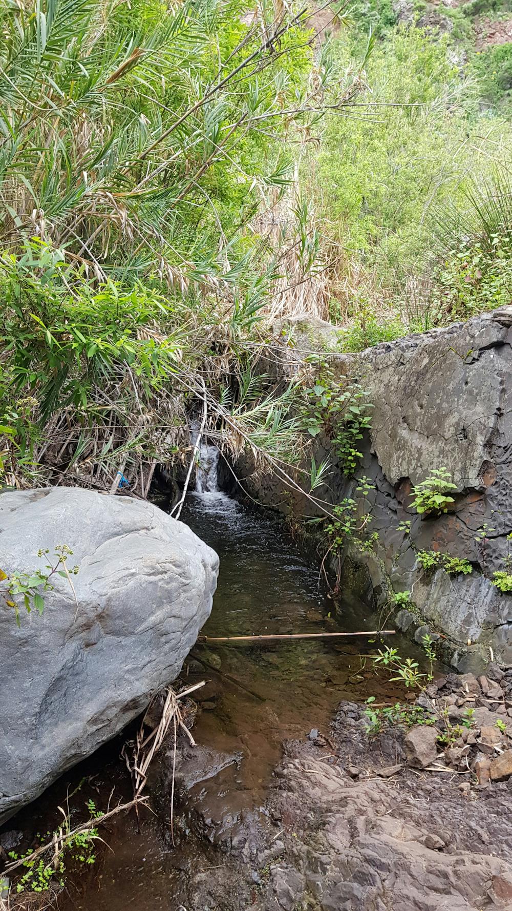
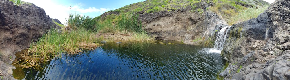
Path following a small river with recurring cascades. Many are very small, two of them are bigger.
Hiking Difficult
- Distance
- 4.9 km
- Ascent
- 274 m
- Descent
- 274 m
- Duration
- 1-2 hrs
- Low Point
- 12 m
- High Point
- 218 m
- Gradient
- 8˚

A very nice and calm route with birds singing and nice flowers/plants. You can almost always hear the water splashing and also see little ponds. Some parts are hard to walk because of very uneven terrain. On the sides of the hills there are small fields and little houses. The beach is nice, but don't enter the waters! The currents are strong and there are dead jellyfishes on the rocks.
- •
- •
- •
- •
- •
- •
Description
I personally would not recommend this route to families with small kids, although we met a few of them... The route is too uneven for short legs and too heavy on the way back. We also met a couple with a dog, so apparently it is dog friendly too.
Difficulty
Difficult
Hiking trails where obstacles such as rocks or roots are prevalent. Some obstacles can require care to step over or around. At times, the trail can be worn and eroded. The grade of the trail is generally quite steep, and can often lead to strenuous hiking.
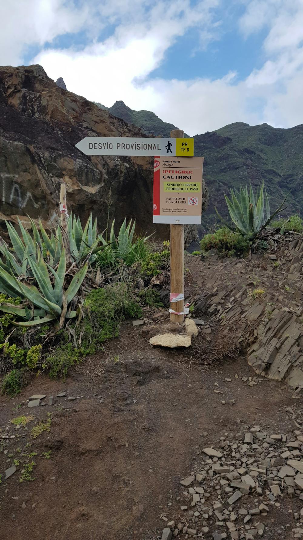
High Exposure

Some trail sections have exposed ledges or steep ascents/descents where falling could cause serious injury.
Remoteness

Away from help but easily accessed.
Best time to visit
Features
- Dog friendly
- Wild flowers
- Water features