8.8 km away
Calzada de los Antiguos
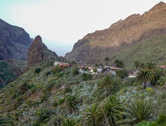
A stunning out & back run high above the gorge.
Difficult Trail Running
- Distance
- 6.8 km
- Ascent
- 443 m
- Descent
- 443 m
Circumnavigate a volcano!
Trail Running Easy

The lava landscape surrounding Montaña Chinyero makes for an out-of-this-world loop. The remnants of Chinyero's last eruption, in 1909, sculpt a landscape reminiscent of moonscape. With only a little over 400m of vertical ascent and a soft floor of pine needles and black larva rock, the route is ideal for an easier day or afternoon shakeout run before or after taking on big brother “Teide.”
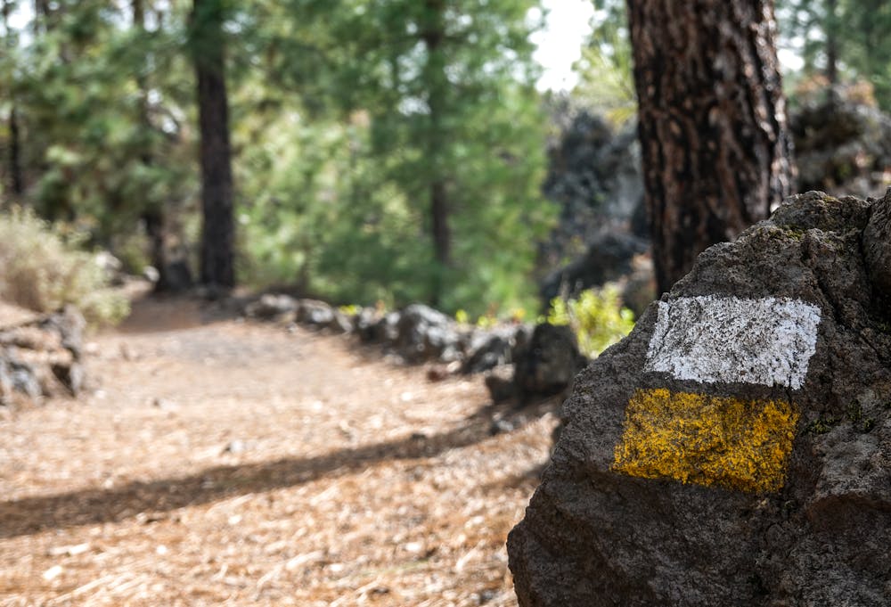
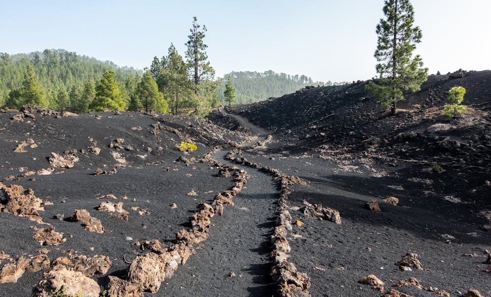
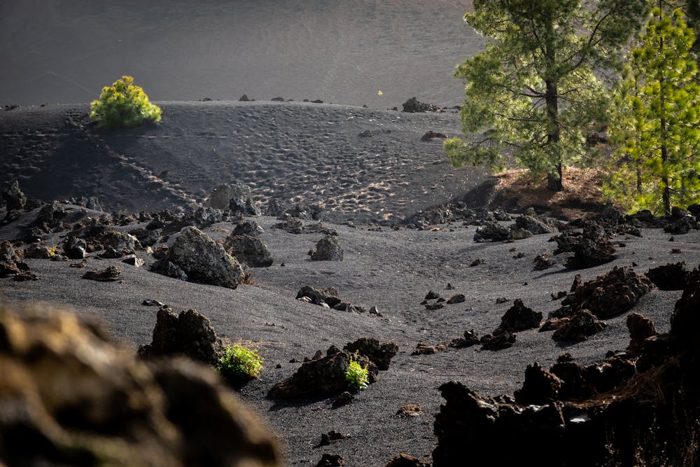
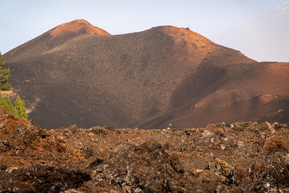
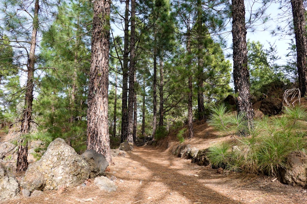
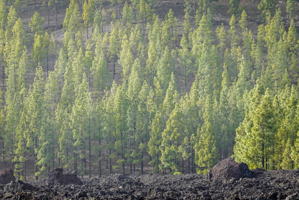
Begin from the Zona de Acampaga Arenas Negras where you can camp overnight. There’s also a picnic area here and playground. As you circumnavigate the little volcano, standing at 1551m high, pass through a range of incredible landscapes that differ dramatically from the higher altitude regions around Mt. Teide, the dry canyons of the south and the lush forests of the north. After a few kilometres of undulating trail through high-altitude pine forests, you’ll find yourself running along stone-lined paths in a sea of black at the foot of the volcano.
On a clear day, you’ll have stunning views of Mt. Teide to the north. In hazier conditions, it’s barely possible to make out the looming 3715m beast.
After Chinyero, loop around Montaña Negra, standing at 1408m. Take the abrupt trail to the left and bag a bonus peak if you’re feeling it!
Tips: Take plenty of water as the route is dry and most often exposed to the sun.
Bring a windproof jacket – the winds can be strong and cool between 1200 and 1500 metres even on an island heralded as the “best climate in the world.”
Easy

The path is on completely flat land and potential injury is limited to falling over.

Away from help but easily accessed.
8.8 km away
A stunning out & back run high above the gorge.
Difficult Trail Running
10 routes · Trail Running