72 m away
Roque Cinchado Circuit
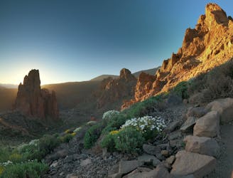
The money shot over Tenerife's famous Roque Cinchado.
Easy Trail Running
- Distance
- 4.4 km
- Ascent
- 185 m
- Descent
- 187 m
Tenerife's must-do loop!
Trail Running Difficult

This loop takes the cake for must-do’s on Tenerife. Start from the Parador de Las Cañadas del Teide, where the dramatic landscape transports you to another world as soon as shoes hit the dirt.
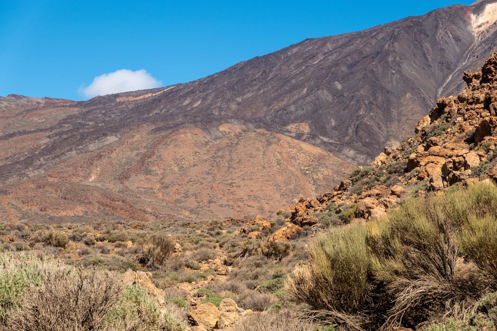
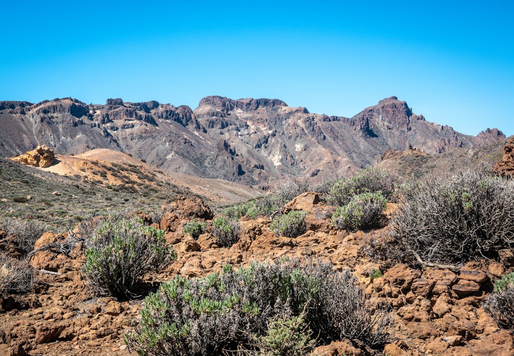
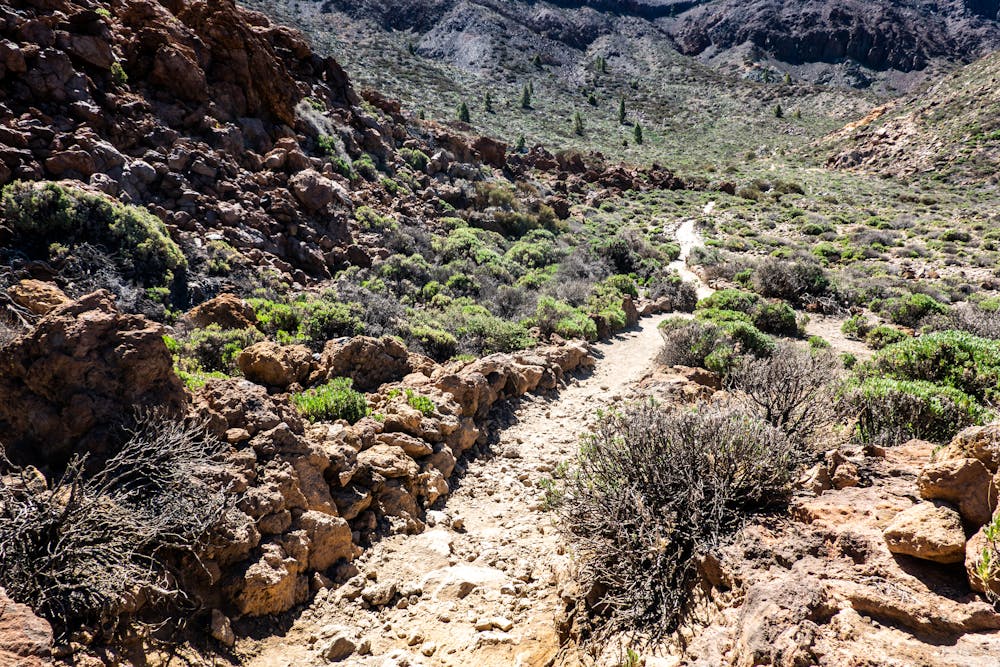
The trail flows best in a clockwise direction. Pass the series of volcanic towers to your right, before leaving the smooth dirt road and beginning the climb on technical single trail as you ascend into the clouds. Top out at 2700m for probably the most spectacular view on the island of Mt. Teide. The blue sky contrasts with the gigantic volcano like a work of art.
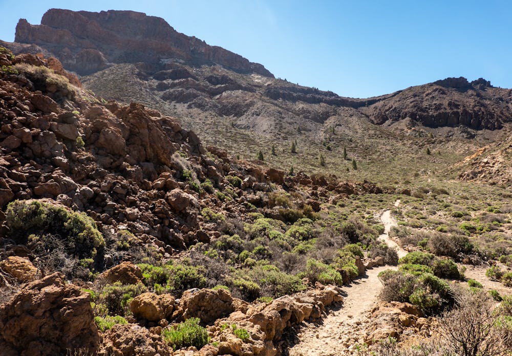
Celebrate the fun descent that has you travel through a range of different landscapes ranging from the rocky terrain of the higher altitude to sparse pine forests and scattered flower beds of bright yellow. Pick up some speed along the flowy trails of golden dirt that abruptly cross over to the dark side – literally. The trail transforms from one footstep to the next into one of larva dust that has a fantastic crunch beneath your feet. Think of running on crushed Oreos.
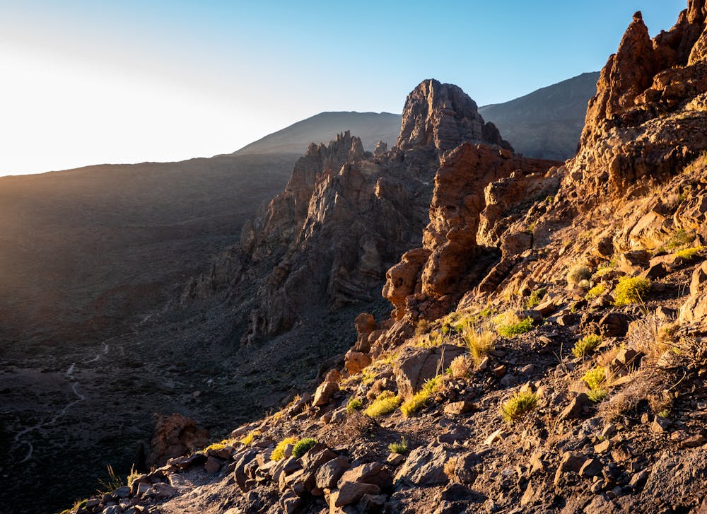
Flow on this section of the mountain and enjoy the gradual decline before a sharp right, away from the main trail, to start the final climb up to the pass. This is where having the GPS on your watch comes in handy. At 2400m, reach the highest point of the pass. To your right is the last wicked descent, which zigzags down the mountain and back to the carpark, where you can then grab your climbing gear (if so inclined) and spend an afternoon in the crags of Las Canadas!
Tips: The terrain in parts is quite technical so be prepared with enough food and water to be out there for longer than an average 20km trail run.
Download the GPX route to your watch before you go as there is a section of trail before the final pass that strays from the main track, which can be easily missed.
Take a windproof jacket in your pack to protect from those regular northeasterly winds.
Difficult

The trail contains some obstacles such as outcroppings and rock which could cause injury.

Little chance of being seen or helped in case of an accident.
72 m away
The money shot over Tenerife's famous Roque Cinchado.
Easy Trail Running
4.1 km away
Honour Spain's highest mountain and active volcano on a trailrun of extremes.
Severe Trail Running
10 routes · Trail Running