Björnen to Åreskutan
Are
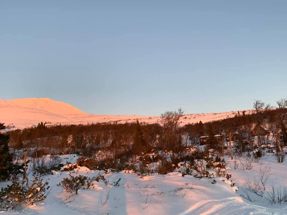
Early season ski touring (11/20). The most common route to climb to Åreskutan with touring skis. Started from the outdoor gym parking lot in Björnen and climbed (ski toured) to the peak. The snow was a bit limiting, so the middle part of the freeride ski route wasn't that easy due to it.
Ski Touring Moderate
- Distance
- 13 km
- Ascent
- 985 m
- Descent
- 1 km
- Low Point
- 573 m
- High Point
- 1.4 km
- Gradient
- 33˚

This is a popular ski touring route which is generally considered to be moderate. It's remote, it features low exposure (e1) and is typically done between November and May. From a low point of 573 m to the maximum altitude of 1.4 km, the route covers 13 km, 985 vertical metres of ascent and 1010 vertical metres of descent. You'll need skins to complete it safely.
Description
Ski touring to Åreskutan
Difficulty
Moderate
Slopes become slightly steeper at around 25-30 degrees.
Low Exposure (E1)

Exposure is limited to that of the slope itself. Getting hurt is still likely if the slope is steep and/or the snow is hard.
Remoteness

Away from help but easily accessed.
Best time to visit
Features
- Ski Mountaineering
Equipment required
- Skins