Gantrisch Trailrun
Kurzer Trailrun im Gantrisch - Gebiet mit wenig Höhenmeter und schöner Aussicht
Trail Running Difficult
- Distance
- 8.6 km
- Ascent
- 444 m
- Descent
- 421 m
- Duration
- 1-2 hrs
- Low Point
- 1.6 km
- High Point
- 1.9 km
- Gradient
- 13˚

This is a popular trail running route which is generally considered to be difficult. It's very remote, it features medium exposure and is typically done between May and September. From a low point of 1.6 km to the maximum altitude of 1.9 km, the route covers 8.6 km, 444 vertical metres of ascent and 421 vertical metres of descent.
- •
- •
Description
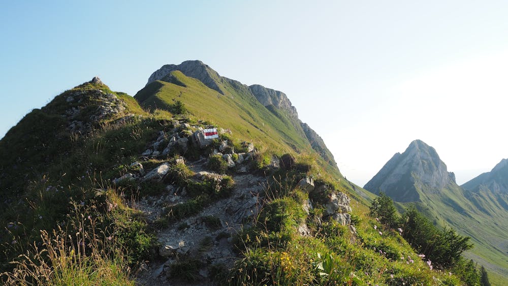
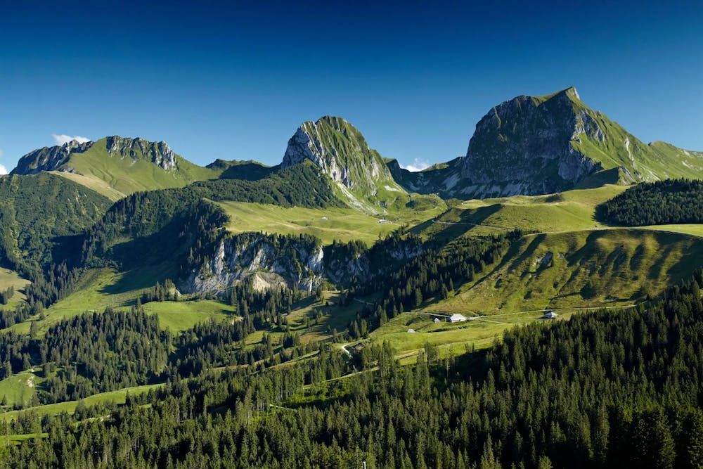
Schöne Aussicht auf die Alpen und Gürbental-Region
Difficulty
Difficult
Medium Exposure

The trail contains some obstacles such as outcroppings and rock which could cause injury.
Remoteness

Little chance of being seen or helped in case of an accident.