137 m away
Biketicket 2 Ride Red Tour
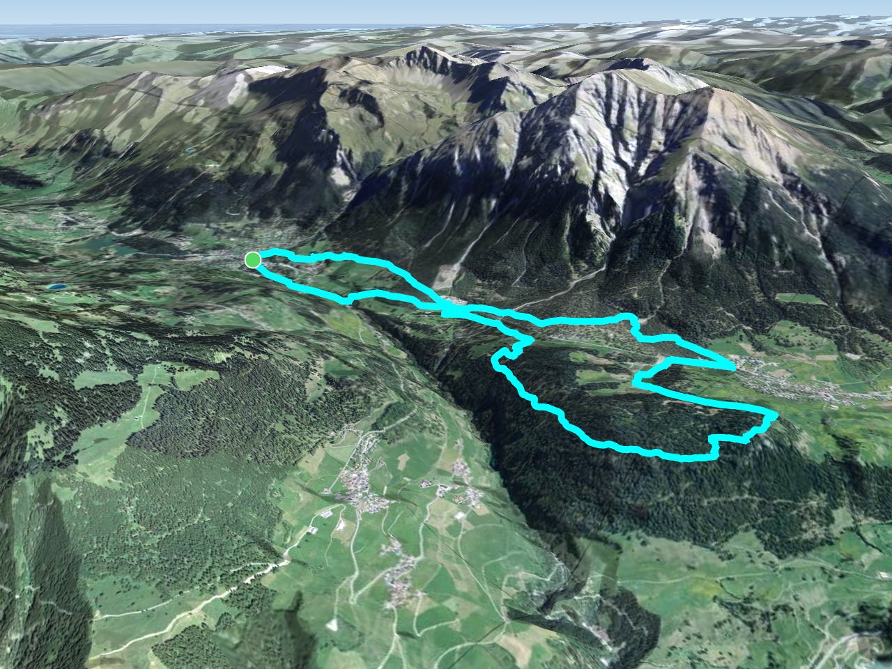
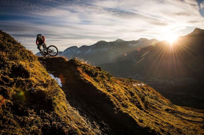
The red version of the Biketicket 2 Ride tour access superb singletrack with 950m of climbing and 3,250m of descending over 42km.
Severe Mountain Biking
- Distance
- 48 km
- Ascent
- 3.2 km
- Descent
- 3.2 km
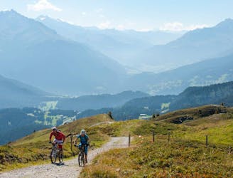
XC loop in the valley near Lenzerheide.
Mountain Biking Easy
This is a popular mountain biking route which is generally considered to be easy. It's an unknown remoteness, it features unknown exposure and is typically done in an unknown time of year. From a low point of 1.3 km to the maximum altitude of 1.5 km, the route covers 14 km, 383 vertical metres of ascent and 383 vertical metres of descent.
This easy XC loop in the valley near Lenzerheide consists of mostly gravel, but it has a singletrack surprise on the far end. You can bypass the singletrack and stay entirely on gravel paths if you prefer.
Easy
Mostly smooth and non-technical singletrack with unavoidable obstacles 2in/5cm tall or less. Avoidable obstacles may be present. Ideal for beginner riders.
137 m away
The red version of the Biketicket 2 Ride tour access superb singletrack with 950m of climbing and 3,250m of descending over 42km.
Severe Mountain Biking
138 m away
The easiest Biketicket 2 Ride tour climbs 630m and descends 2400m over the course of 42.9km.
Difficult Mountain Biking
1.5 km away
Possibly one of the most beautiful mountain bike trails in the world—the Welschtobel Valley is unbelievably beautiful!
Severe Mountain Biking
1.6 km away

20,000 feet of descending in one day in the beautiful Swiss Alps.
Severe Mountain Biking
3 routes · Mountain Biking

25 routes · Mountain Biking