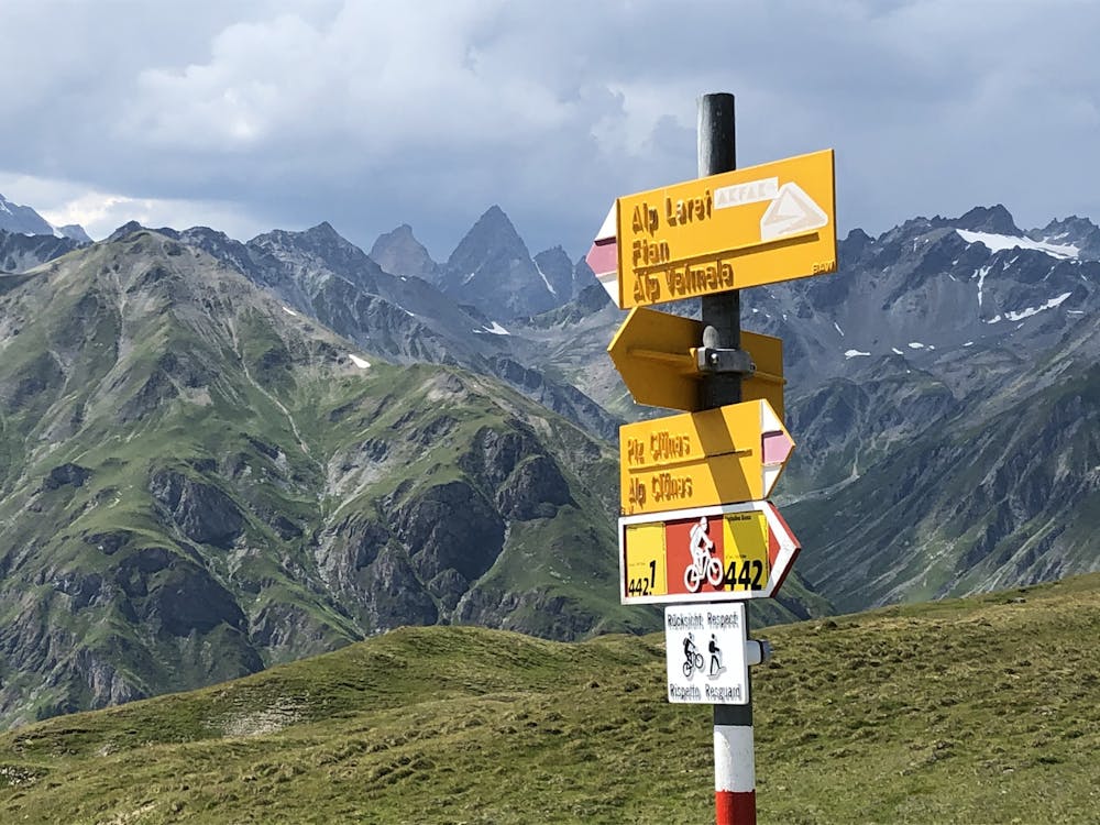
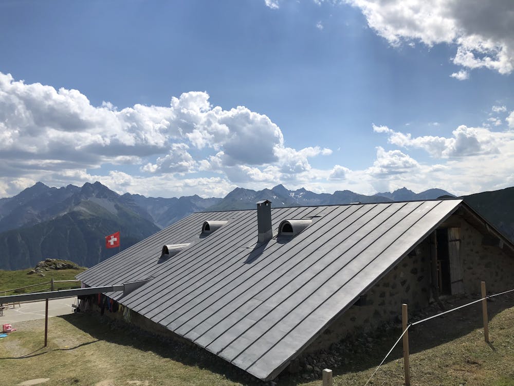
Motta Naluns nach Ftan
Scuol – Motta Naluns
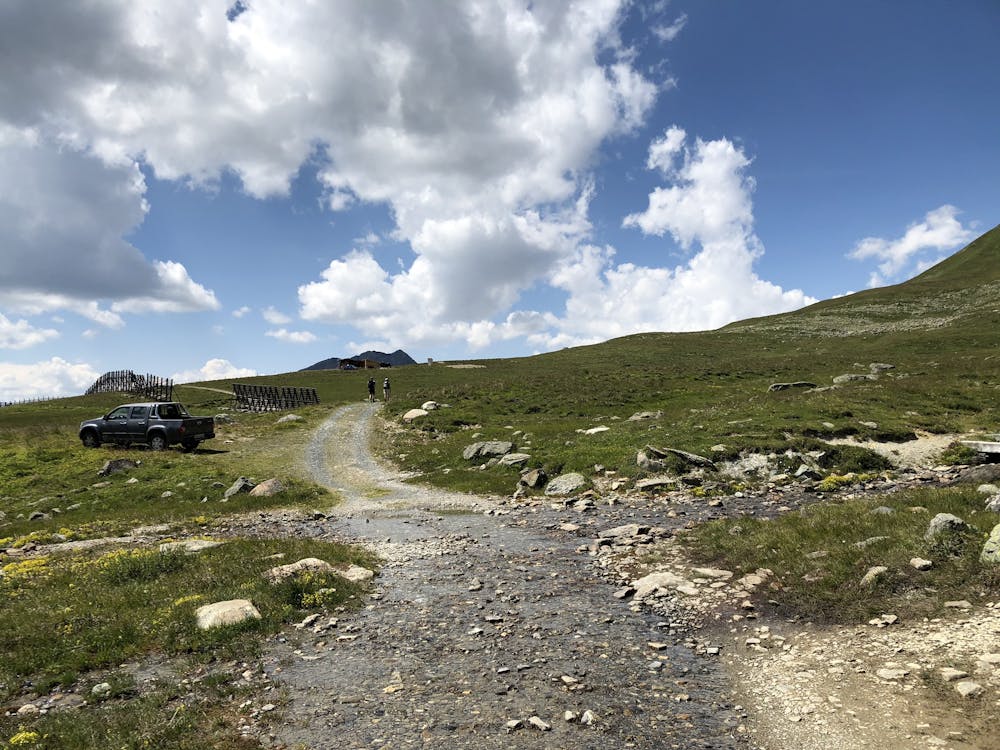
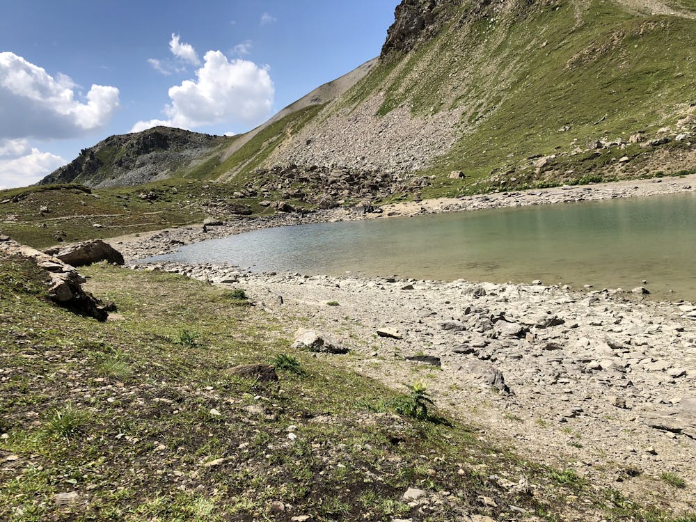
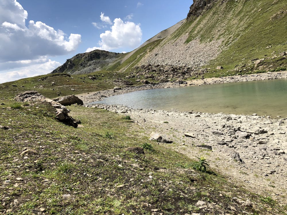
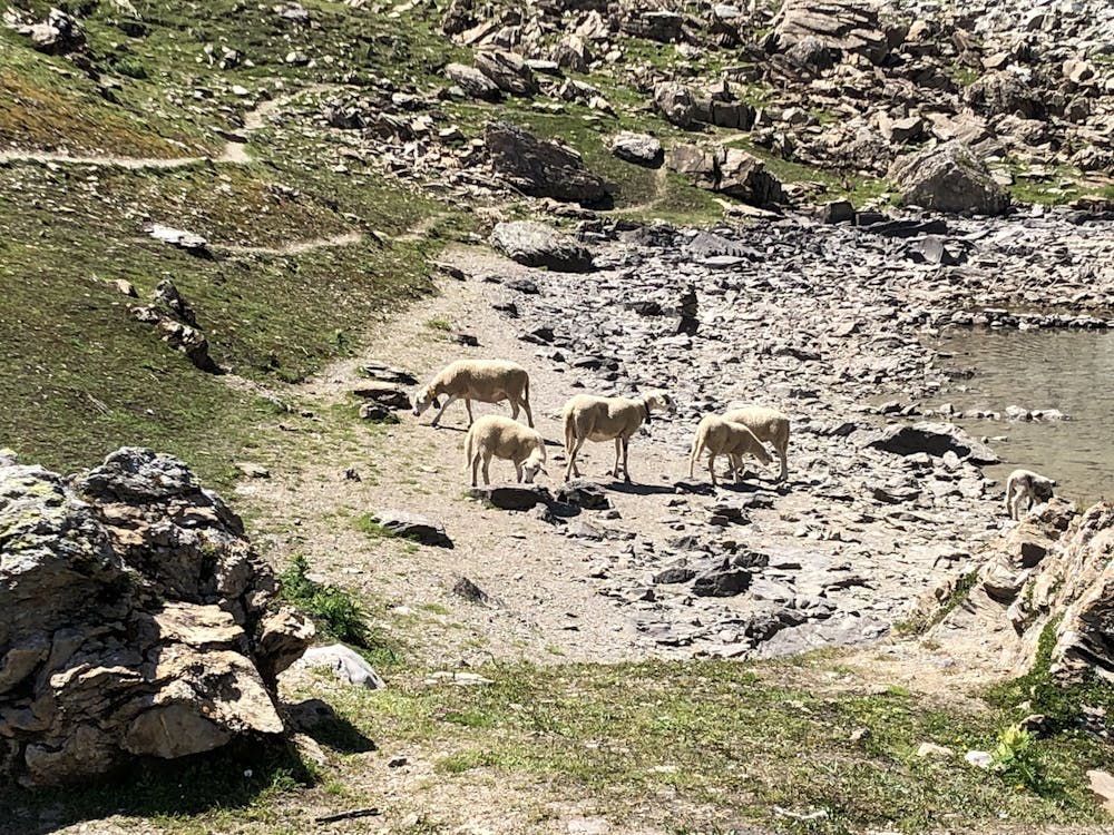
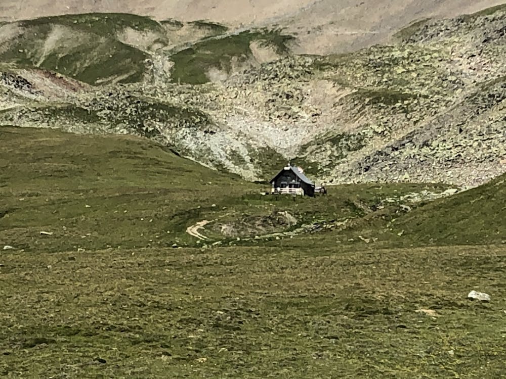
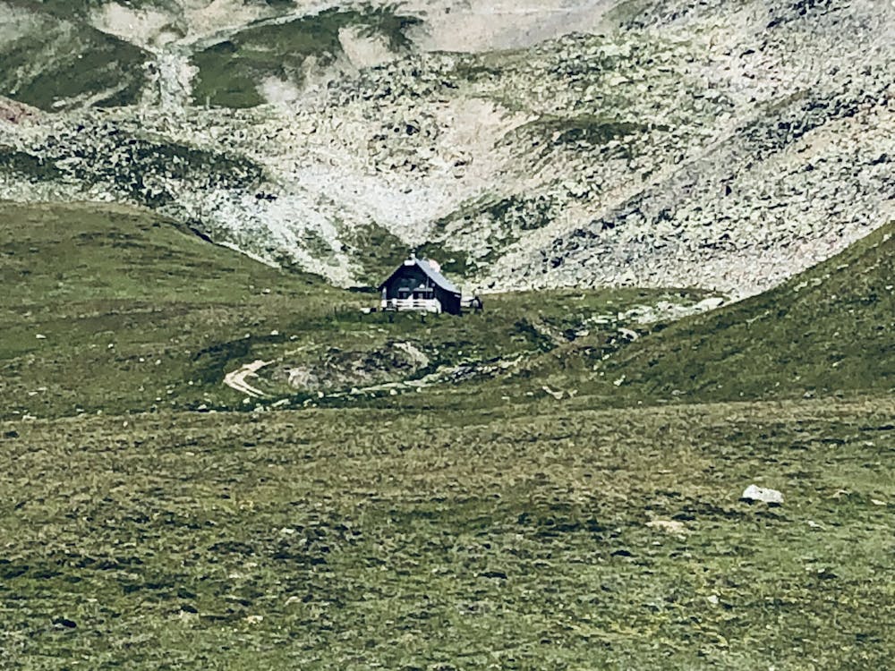
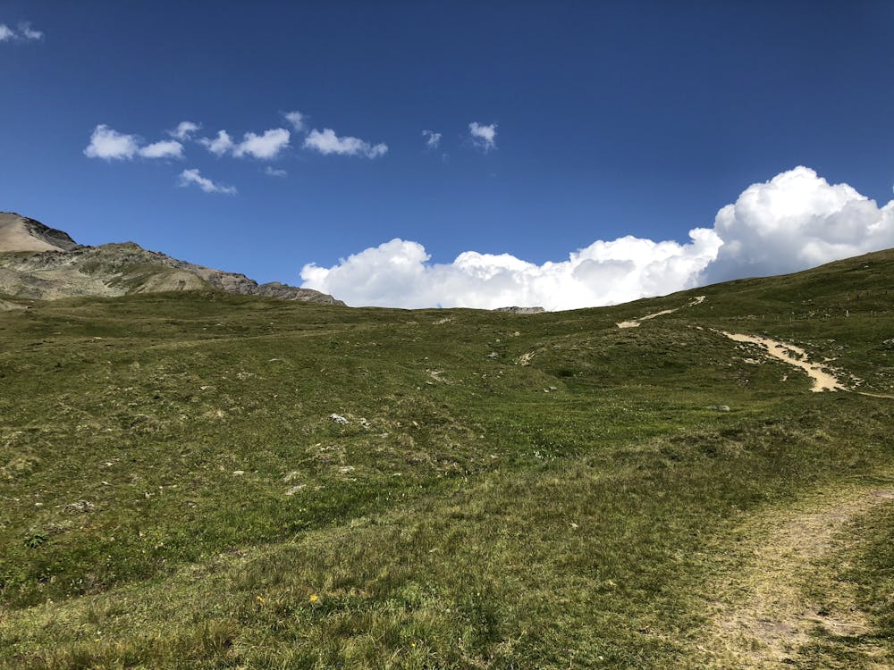
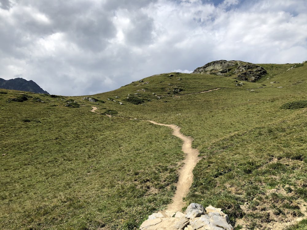
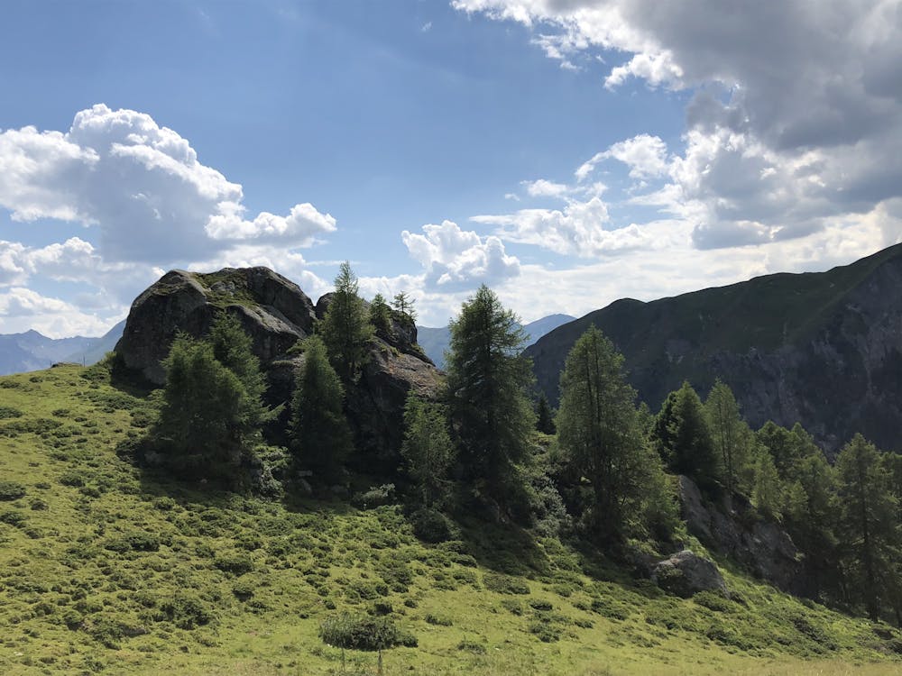
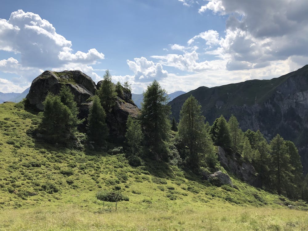
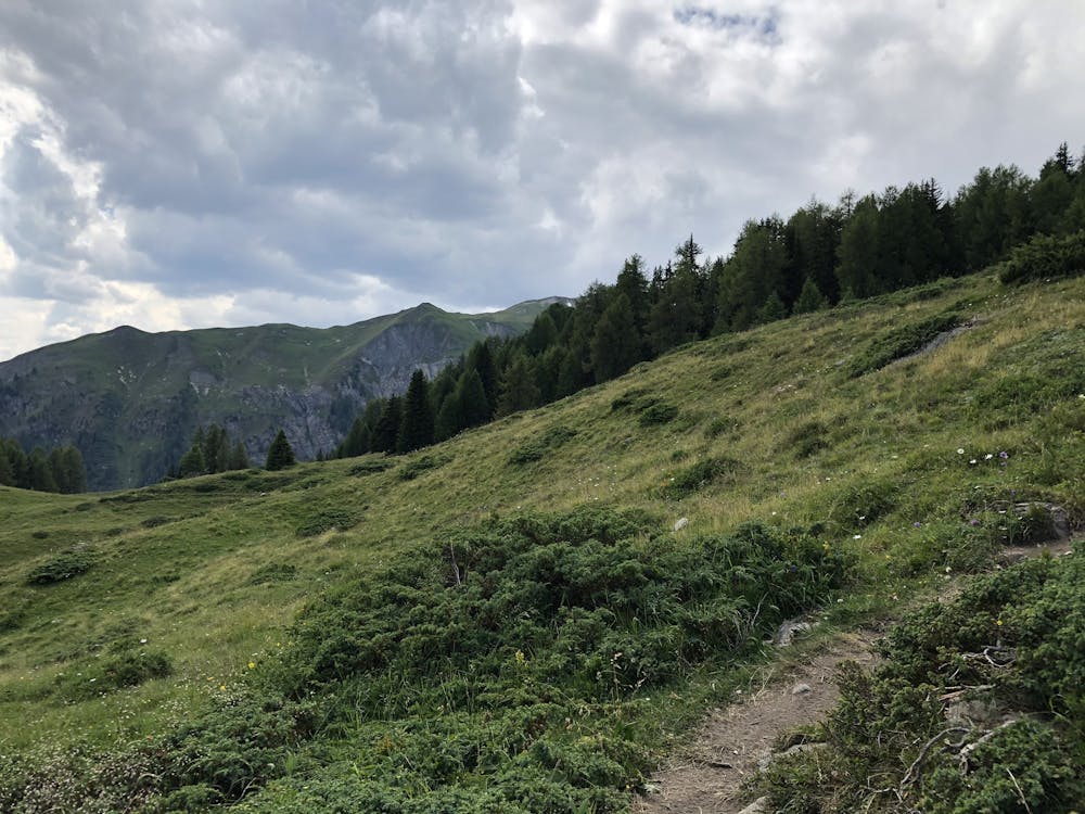
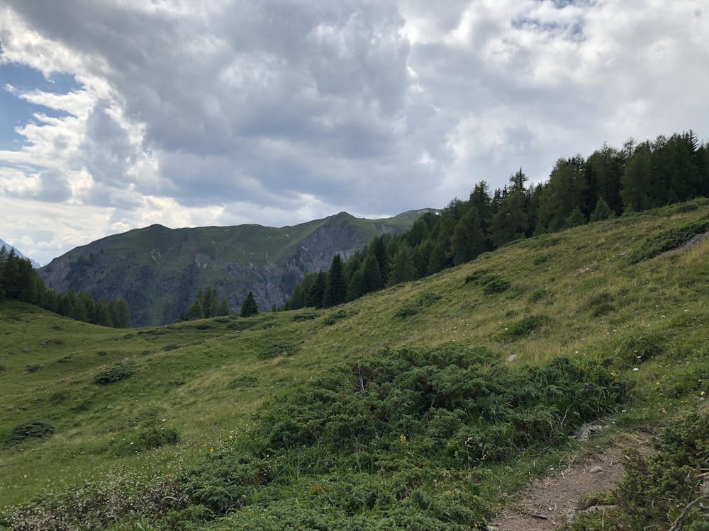
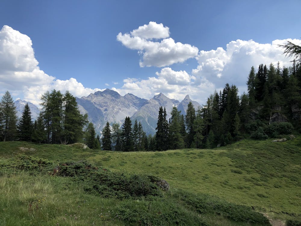
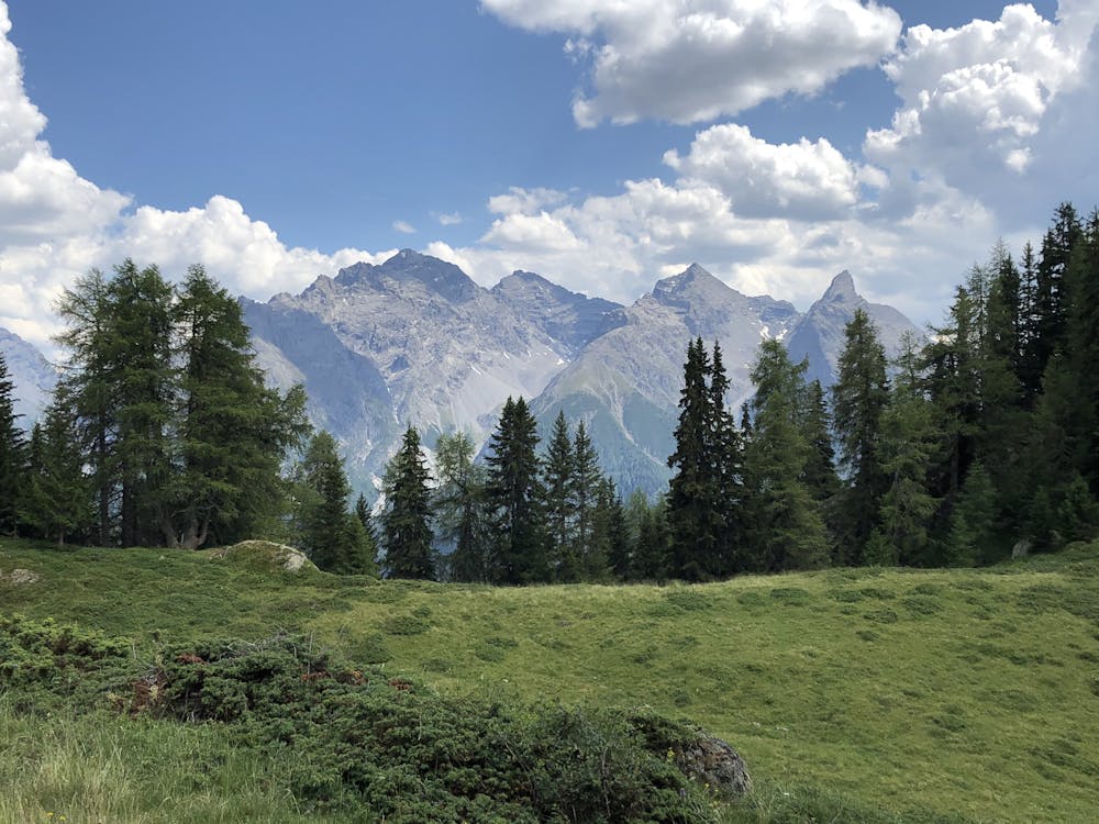
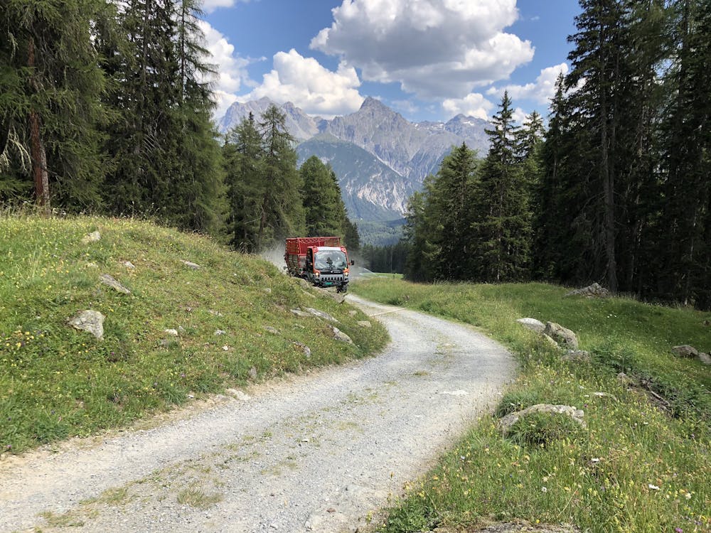
einfache und rassige Abfahrt mit wenig Aufstieg, entlang von Alpen und mit schönem Panorama
Mountain Biking Easy
- Distance
- 19 km
- Ascent
- 618 m
- Descent
- 1.5 km
- Duration
- 1-2 hrs
- Low Point
- 1.2 km
- High Point
- 2.6 km
- Gradient
- 12˚

This is a popular mountain biking route which is generally considered to be easy. It's not remote, it features low exposure and is typically done between June and September. From a low point of 1.2 km to the maximum altitude of 2.6 km, the route covers 19 km, 618 vertical metres of ascent and 1533 vertical metres of descent.
- •
- •
- •
- •
- •
- •
- •
- •
- •
- •
- •
- •
- •
- •
- •
- •
- •
- •
- •
- •
- •
- •
- •
- •
Description
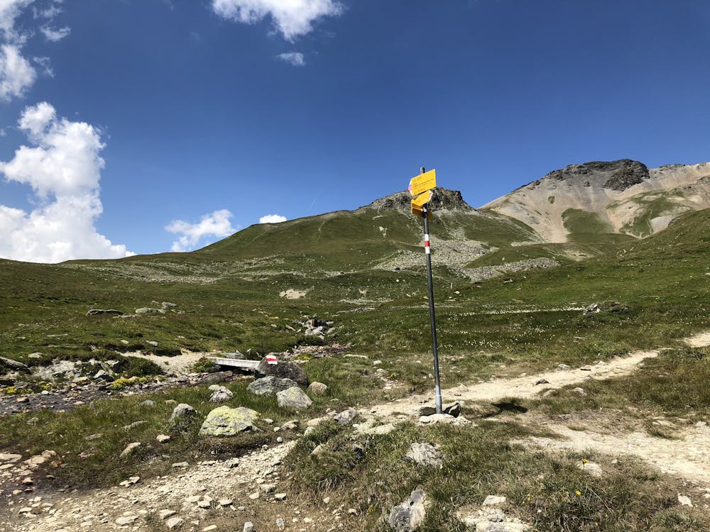
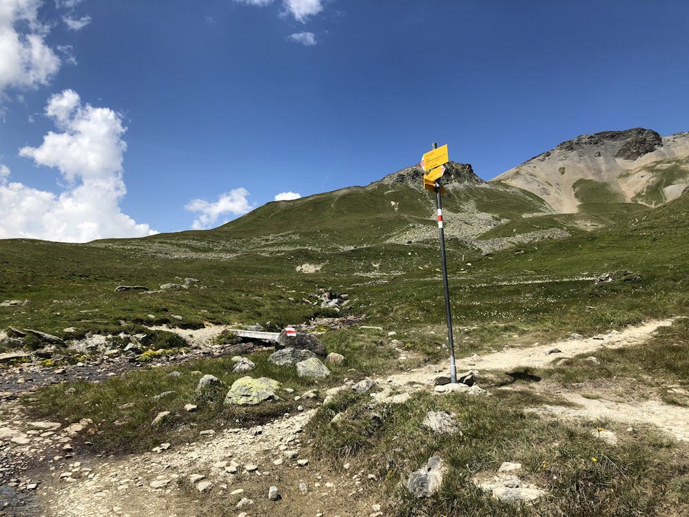
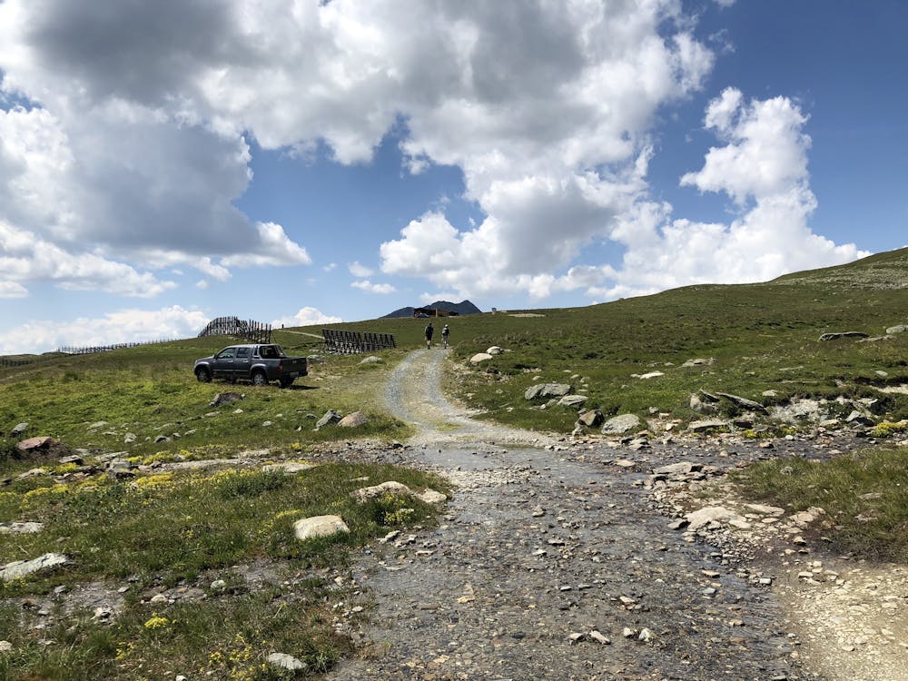
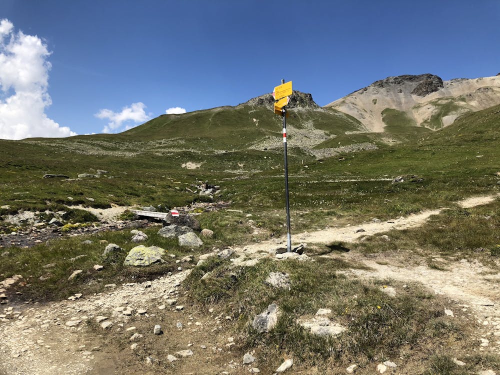
Die Abfahren lassen das Herz eines jeden Bikers höherschlagen. Über Alpweiden entlang von Wanderwegen (wird auch viel begangen) kam ich richtig in Fahrt. Die Tour war gerade richtig vor dem Nachtessen und nach der Wanderung.
Difficulty
Easy
Mostly smooth and non-technical singletrack with unavoidable obstacles 2in/5cm tall or less. Avoidable obstacles may be present. Ideal for beginner riders.
Low Exposure

The path is on completely flat land and potential injury is limited to falling over.
Remoteness
Close to help in case of emergency.
Best time to visit
Features
- Flow
- Picturesque
- Singletrack
- Wet-weather friendly