6.9 km away
Julierpass to Jenatsch Hut
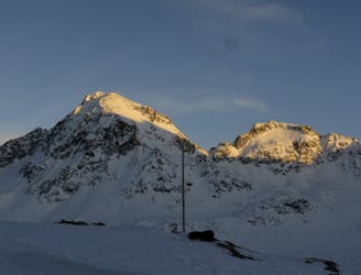
An ideal introductory day, with one long slow climb and a N facing descent
Moderate Ski Touring
- Distance
- 7.5 km
- Ascent
- 937 m
- Descent
- 486 m
An alpine lake hidden in a small valley, around St. Moritz
Ski Touring Easy

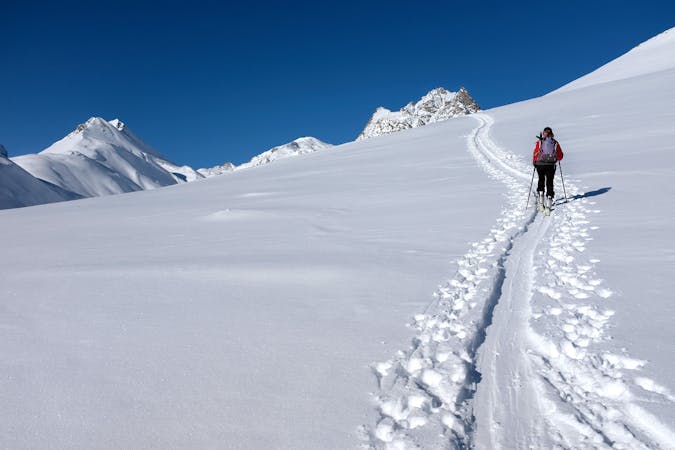
This is a popular ski touring route which is generally considered to be easy. It's not remote, it features low exposure (e1) and is typically done between December and March. From a low point of 1.8 km to the maximum altitude of 2.5 km, the route covers 7.1 km, 729 vertical metres of ascent and 738 vertical metres of descent. It's graded 2.2 and Labande grade 3. You'll need skins to complete it safely.
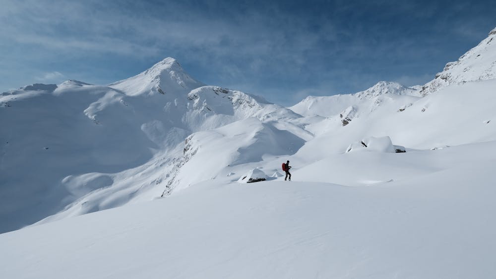
From Capolago (Maloia), go up the Plan di Zoch trying to avoid the steepest stretches. After ~650 meters in the north-west direction you will reach Lunghin Lake, nestled in the homonymous valley from which you can admire the massifs of Val di Mello and Engadine
Easy
Wide gentle slopes at around 20 degrees or less.

Exposure is limited to that of the slope itself. Getting hurt is still likely if the slope is steep and/or the snow is hard.
Close to help in case of emergency.
6.9 km away
An ideal introductory day, with one long slow climb and a N facing descent
Moderate Ski Touring
6 routes · Ski Touring