9.7 km away
Via Alpina Green Route 3b: Weisstannen to Elm
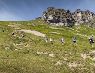
An epic hike full of waterfalls, rolling green pastures, woodlands and steep climbs.
Moderate Hiking
- Distance
- 22 km
- Ascent
- 1.3 km
- Descent
- 1.3 km
A 12.4km hike through a valley, meadows, woods and past a castle.
Hiking Moderate

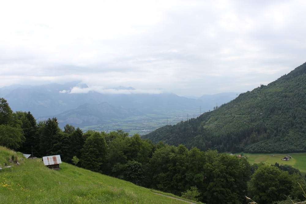
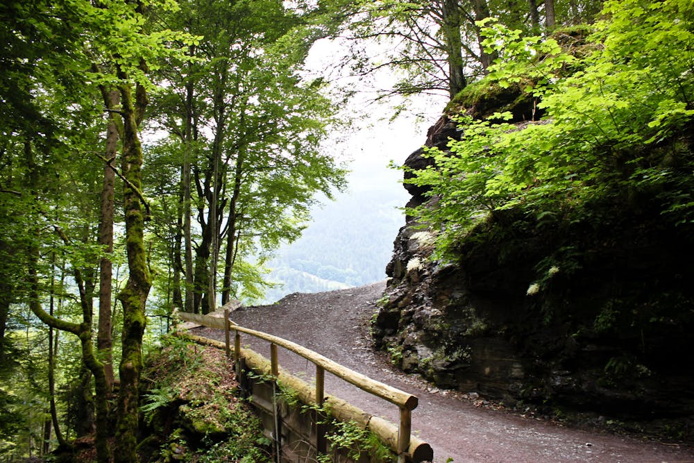
Leave Sargans, heading west from the train station, following the tracks until you hit the rail and motorway underpass where you need to turn left into the village Mels. Cross the Seez bridge and follow the road up to the small Nidberg Castle. Follow the road past the castle, turning left at the start of the forest and come onto the Vermolerweg trail up to the village of Hintervermol. Continue along the path through alpine meadows and woodland until you hit another village, Mülli, where the trail once again joins the road into the Weisstannental valley. After a short while, turn right onto an uphill climb, coming to the high-alpine trail that takes you all the way to Weisstannen.
Moderate
Hiking along trails with some uneven terrain and small hills. Small rocks and roots may be present.

The path is on completely flat land and potential injury is limited to falling over.
Close to help in case of emergency.
9.7 km away
An epic hike full of waterfalls, rolling green pastures, woodlands and steep climbs.
Moderate Hiking

15 routes · Hiking