Pardiel to Hinterrug
Toggenburg
An epic, long and tough trail run high above the valley
Trail Running Severe
- Distance
- 27 km
- Ascent
- 2.7 km
- Descent
- 2.2 km
- Duration
- 7-8 hrs
- Low Point
- 1.1 km
- High Point
- 2.3 km
- Gradient
- 23˚

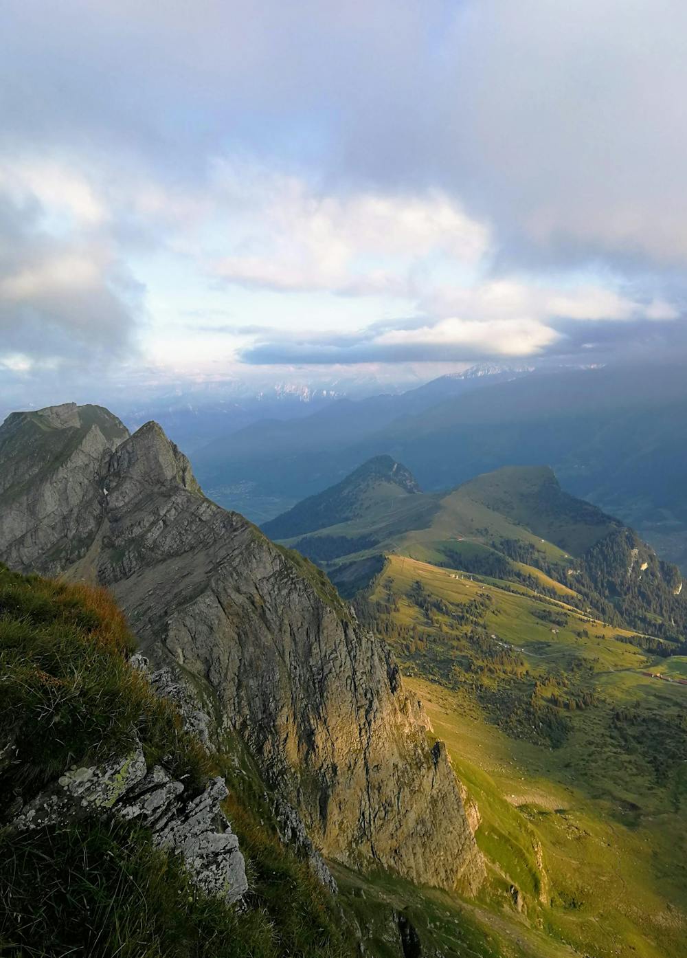
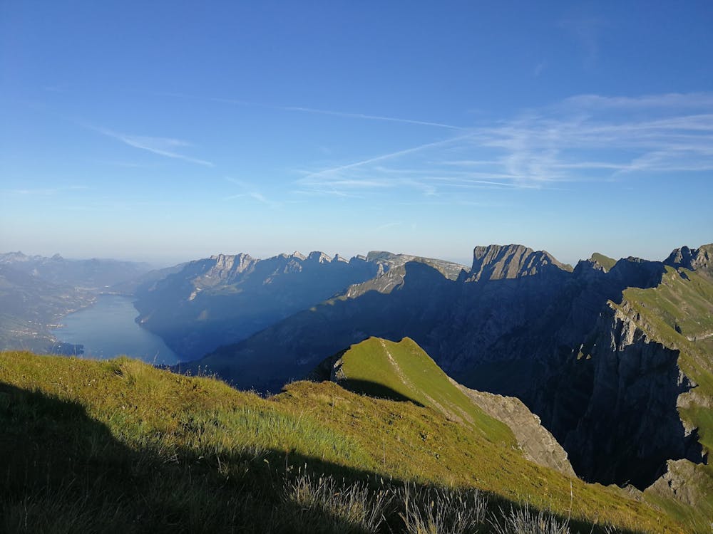
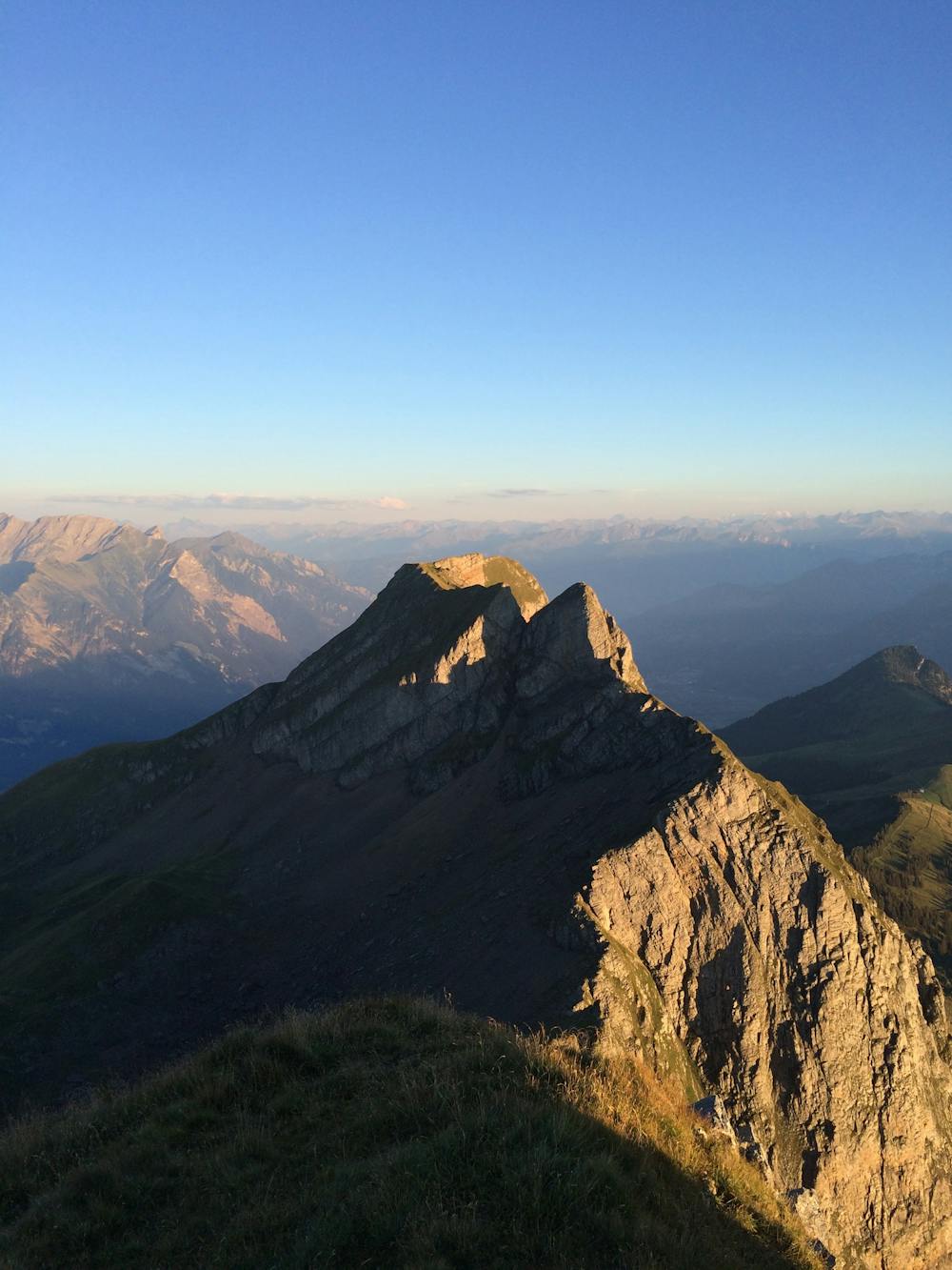
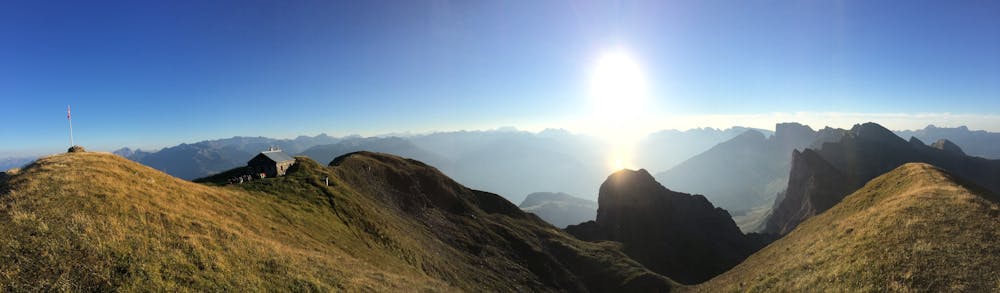
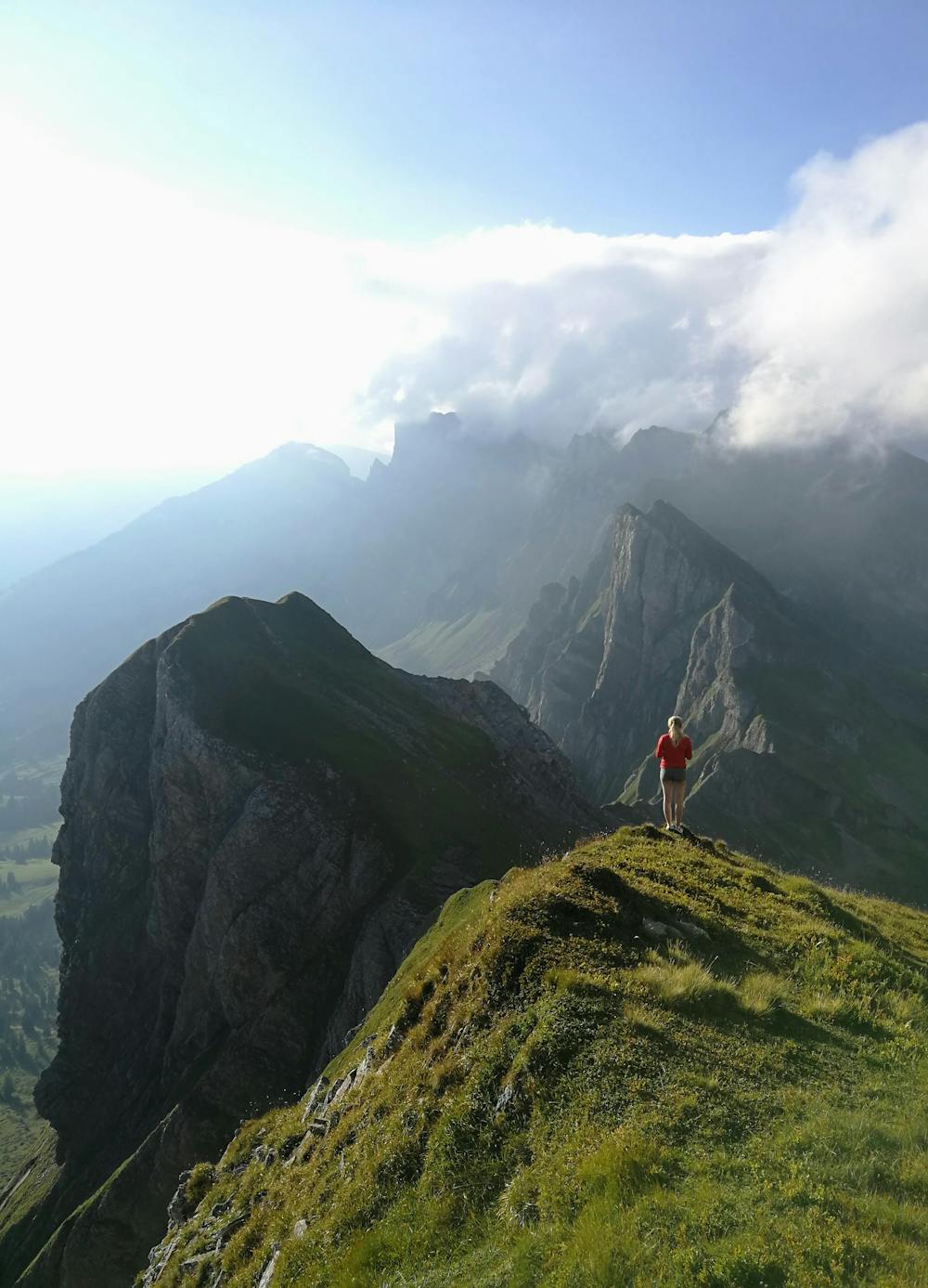
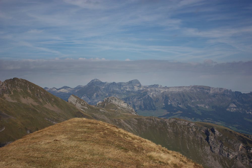
Start in Ragnatsch and take the cable car up to Pardiel. A steep climb leads up to Vilan, where you enjoy incredible 360-panoramic view over Sarganserland. From there the trail drops down vers steep before climbing up all the way to Margelchop - another highlight of this run. After another long downhill you pass the Voralpsee, before climbing back up to the ridge. Through steep, exposed and wild terrain the route finally reaches Hinterrugg (2'306m) where you have access to the cable car to Alt St. Johann
- •
- •
- •
- •
- •
- •
Difficulty
Severe
Extreme Exposure

Some trail sections are extremely exposed where falling will almost certainly result in serious injury or death.
Remoteness

Little chance of being seen or helped in case of an accident.