3.6 km away
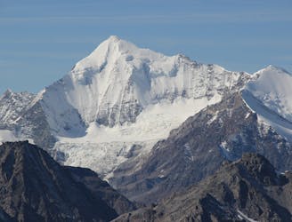
Obergabelhorn, 4063m. ENE Ridge via Wellenkuppe.
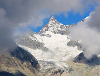
A beautifully shaped mountain, unusual in having its least difficult route via another summit.
Difficult Alpine Climbing
- Distance
- 7.3 km
- Ascent
- 972 m
- Descent
- 972 m
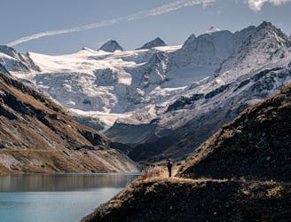
Überschreitung: Cabane du Mountet - Schönbielhütte
Alpine Climbing Severe

This is a popular alpine climbing route which is generally considered to be severe. It's very remote, it features high exposure and is typically done between August and September. From a low point of 2.7 km to the maximum altitude of 4.3 km, the route covers 11 km, 1605 vertical metres of ascent and 1795 vertical metres of descent. You'll need ice axe, bivy kit, crampons, quickdraws, glacier kit and wires and friends to complete it safely.
Tourenbericht und Routeninfos: https://www.suedtirolalpin.com/post/dent-blanche-viereselsgrat
www.suedtirolalpin.com
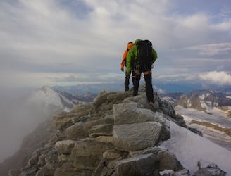
Severe
Steep, sustained and serious terrain on rock/ice. Routes will be long, exposed and possibly committing. D, D+

Much of the route is difficult to protect and a fall could be disastrous at certain points.
Little chance of being seen or helped in case of an accident.
3.6 km away
A beautifully shaped mountain, unusual in having its least difficult route via another summit.
Difficult Alpine Climbing
3.6 km away
A justifiably popular traverse of a beautiful mountain, on very good rock.
Difficult Alpine Climbing
5.6 km away
A classic journey over an incredibly well situated peak.
Moderate Alpine Climbing
5.6 km away
A brilliant low-grade alpine climb which features a bit of everything, from glacier travel to rocky scrambling.
Moderate Alpine Climbing
6 km away
A true alpine classic with utterly spectacular views across the other 4000ers of the Swiss Valais.
Difficult Alpine Climbing
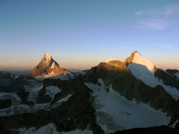
7.5 km away
This is without doubt one of the finest ridges on one of the finest peaks in the Alps.
Difficult Alpine Climbing
8.1 km away
A classic, easy alpine route which has some crevasse danger, particularly late in the summer.
Easy Alpine Climbing
8.8 km away
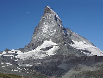
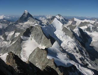
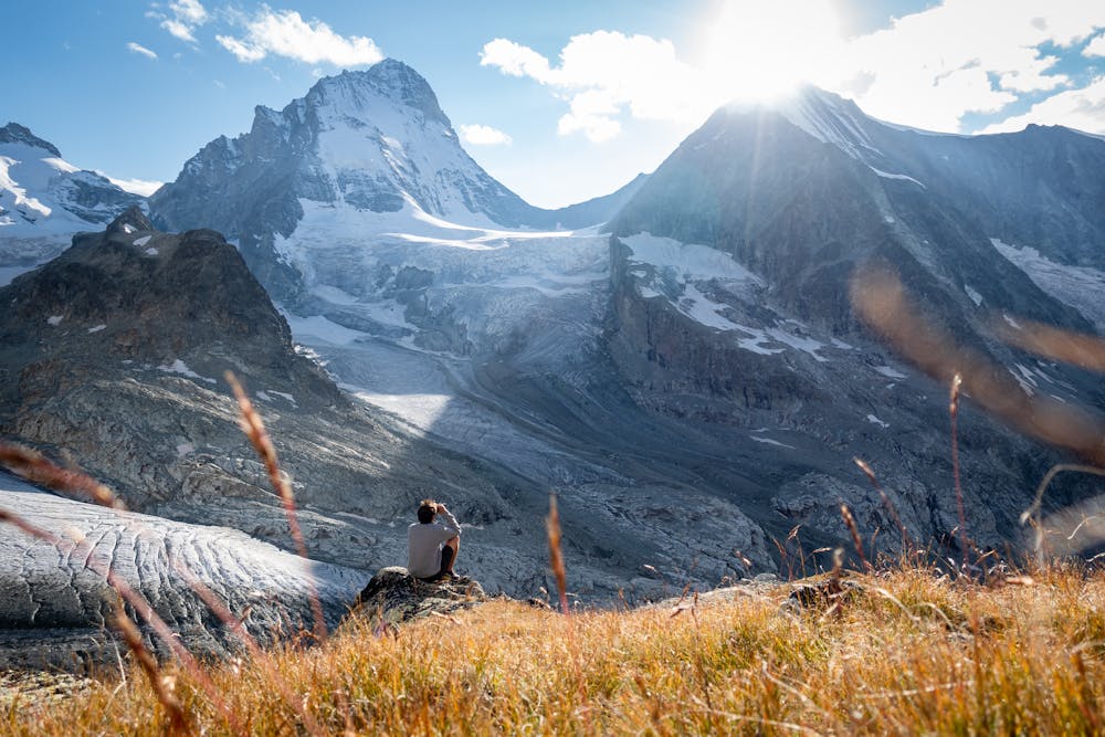
The least difficult route up the most famous mountain in the Alps, if not the world.
Difficult Alpine Climbing
6 routes · Alpine Climbing · Hiking

11 routes · Alpine Climbing · Hiking
4 routes · Alpine Climbing · Hiking

10 routes · Alpine Climbing · Hiking

6 routes · Alpine Climbing

20 routes · Alpine Climbing · Hiking
9 routes · Alpine Climbing · Hiking