30 m away
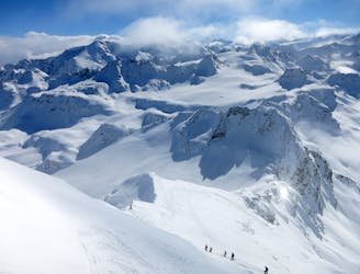
Mont-Fort - Poubelle

An extremely serious, steep line straight from the top ridge of Mont-Fort.
Extreme Freeride Skiing
- Distance
- 366 m
- Ascent
- 14 m
- Descent
- 183 m

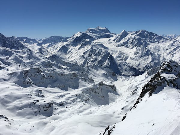
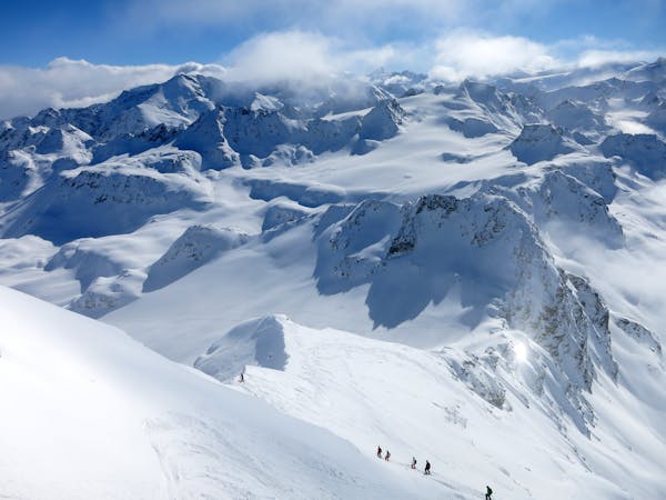
This is a popular freeride skiing route which is generally considered to be severe. It's remote, it features medium exposure (e2) and is typically done between December and January. From a low point of 1.7 km to the maximum altitude of 3.3 km, the route covers 7.8 km, 188 vertical metres of ascent and 1772 vertical metres of descent. It's graded 4.3 and Labande grade 5.
big line
Severe
Steep skiing at 38-45 degrees. This requires very good technique and the risk of falling has serious consequences.

As well as the slope itself, there are some obstacles (such as rock outcrops) which could aggravate injury.
Away from help but easily accessed.
30 m away
An extremely serious, steep line straight from the top ridge of Mont-Fort.
Extreme Freeride Skiing
99 m away

Gnarly with a capital G. Perhaps second only to the Bec des Rosses for extreme lines.
Extreme Freeride Skiing
110 m away

A nice run down the gentle slopes of the glacier to join the exit of the classic 'Backside'
Difficult Freeride Skiing
132 m away
THE Verbier classic taking a journey a long way from the ski area. Serious skiing in a serious environment.
Severe Freeride Skiing
245 m away

A short climb gives access to a beautiful open bowl
Severe Freeride Skiing
250 m away

South Face of Mont Fort travelling past the legendary Bec des Rosses
Severe Freeride Skiing
530 m away

An excellent but very serious, steep and exposed couloir
Extreme Freeride Skiing
588 m away

A short skin gives access to the Col Ferret and various routes which start here
Moderate Freeride Skiing
848 m away

A variant down the Glacier du Petit Mont Fort away from the main Backside crowds for a bit longer
Difficult Freeride Skiing
1.1 km away

An easy descent to re-join the pistes of Verbier from the Col de la Chaux.
Moderate Freeride Skiing

50 routes · Freeride Skiing · Ski Touring
50 routes · Freeride Skiing
10 routes · Freeride Skiing