FATMAP by Strava

Approach to the Valsorey Hut

A long but beautiful hut approach up a wild valley

Hiking Severe

Distance
7.2 km
Ascent
1.4 km
Descent
0 m
Duration
3-4 hrs
Low Point
1.7 km
High Point
3 km
Gradient
22˚
Approach to the Valsorey Hut Map

The Valsorey Hut, 3030m, is a long walk from Bourg St Pierre. It is at least as commonly approached on skis in the spring as it is on foot in the summer. It is best done leaving fairly early in the morning, as the top section gets all the sun going and will be very sapping in the afternoon heat, which may cause blisters or unhappiness.

Description

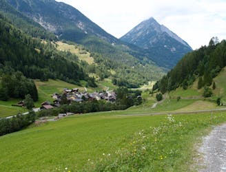
The route is marked from the main road above Bourg St Pierre, but it may be possible to drive slightly further up, to some parking above the village at Plan du Pey, 1827m, or even to the Alpage de Codanne. Follow the well-marked trail up the valley, above the Valsorey stream. You stay on the N side of the river, passing the hamlet of Cordonne, the Chalet d’en Bas and shortly afterwards taking the L fork, signposted to the Valsorey Hut.

The other path takes the route to the Velan Hut. Go past the Chalet d'Amont at 2197m, or stop for a break admiring the great views. Above here you continue SE with the help of ladders and chains to negotiate broken rocky terrain and a gulley, arriving at Grands Plans, 2502m. Now go NE more steeply on the rocky path to the prominent hut on the spur above.

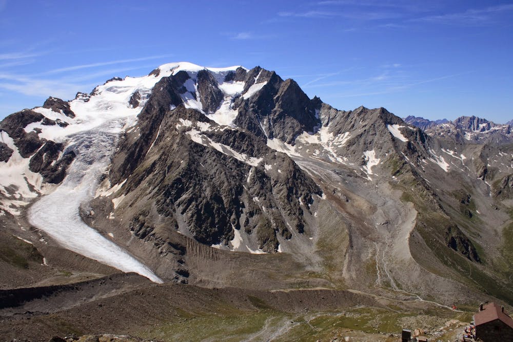
This last section can feel like a relentless slog as you are starting to get pretty high, and the effects of the altitude will begin to be noticeable. You are rewarded with an amazing panorama from the hut, looking W to the Mt Blanc Massif, with all the major peaks clearly visible.

Difficulty

Severe

Hiking challenging trails where simple scrambling, with the occasional use of the hands, is a distinct possibility. The trails are often filled with all manner of obstacles both small and large, and the hills are very steep. Obstacles and challenges are often unexpected and can be unpredictable.

High Exposure

3 out of 4

Some trail sections have exposed ledges or steep ascents/descents where falling could cause serious injury.

Remoteness

2 out of 4

Away from help but easily accessed.

Best time to visit

between June and September

Features

  • Alpine
  • Picturesque
  • Wild flowers

Similar routes nearby

Guidebooks in this area