7.7 km away
Le Lac du Louche
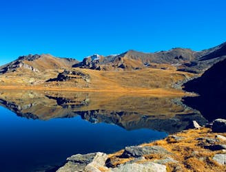
A long, quiet, and wild walk through the high alpine with a fantastic lakeside lunch stop
Moderate Hiking
- Distance
- 9.9 km
- Ascent
- 588 m
- Descent
- 588 m
A fantastic journey through alpine terrain along two historical bisses
Hiking Difficult

This is a popular hiking route which is generally considered to be difficult. It's an unknown remoteness, it features unknown exposure and is typically done in an unknown time of year. From a low point of 533 m to the maximum altitude of 1.7 km, the route covers 17 km, 370 vertical metres of ascent and 1282 vertical metres of descent.
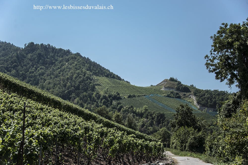
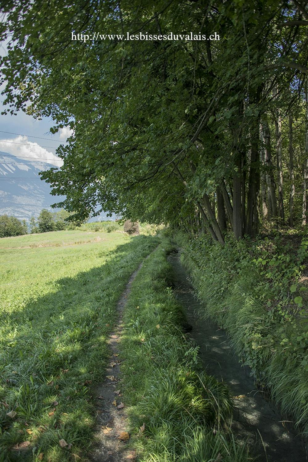
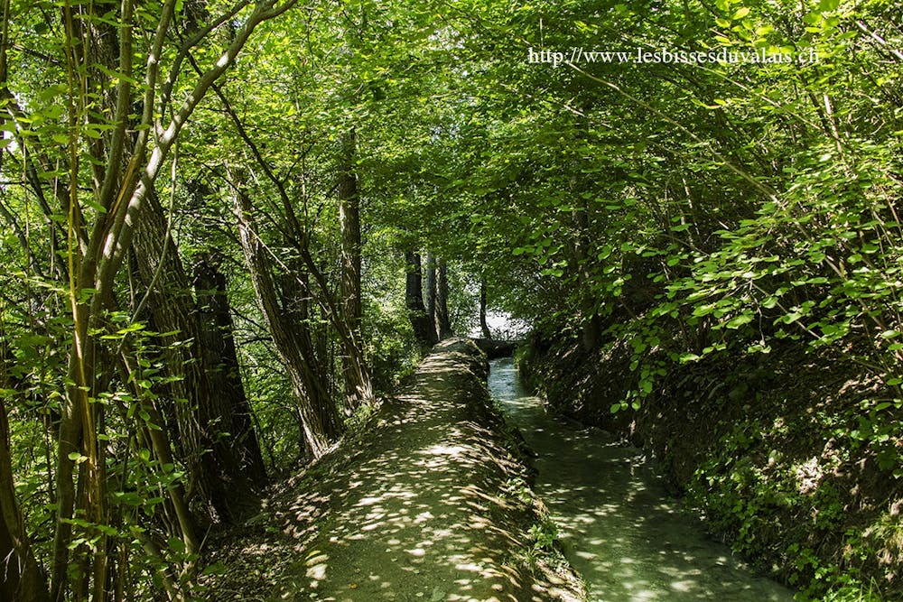
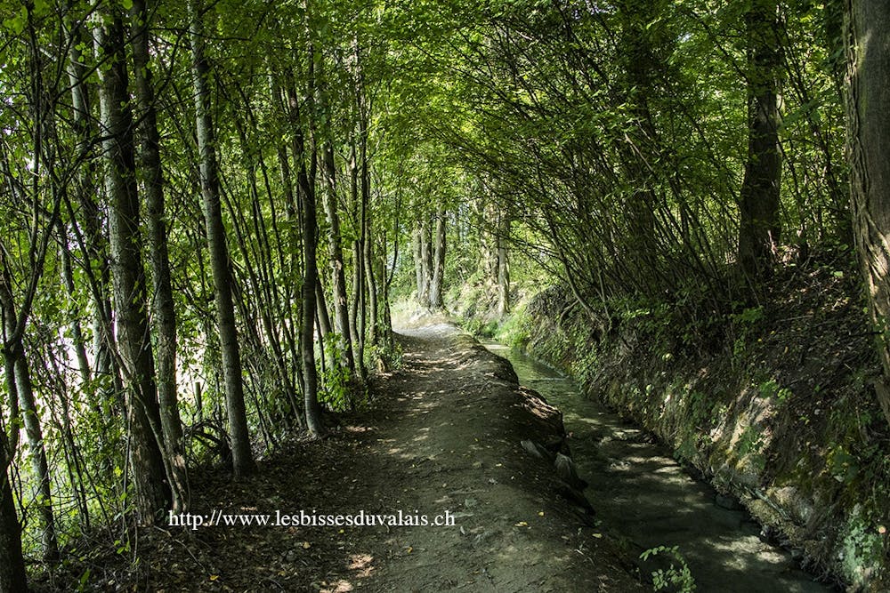
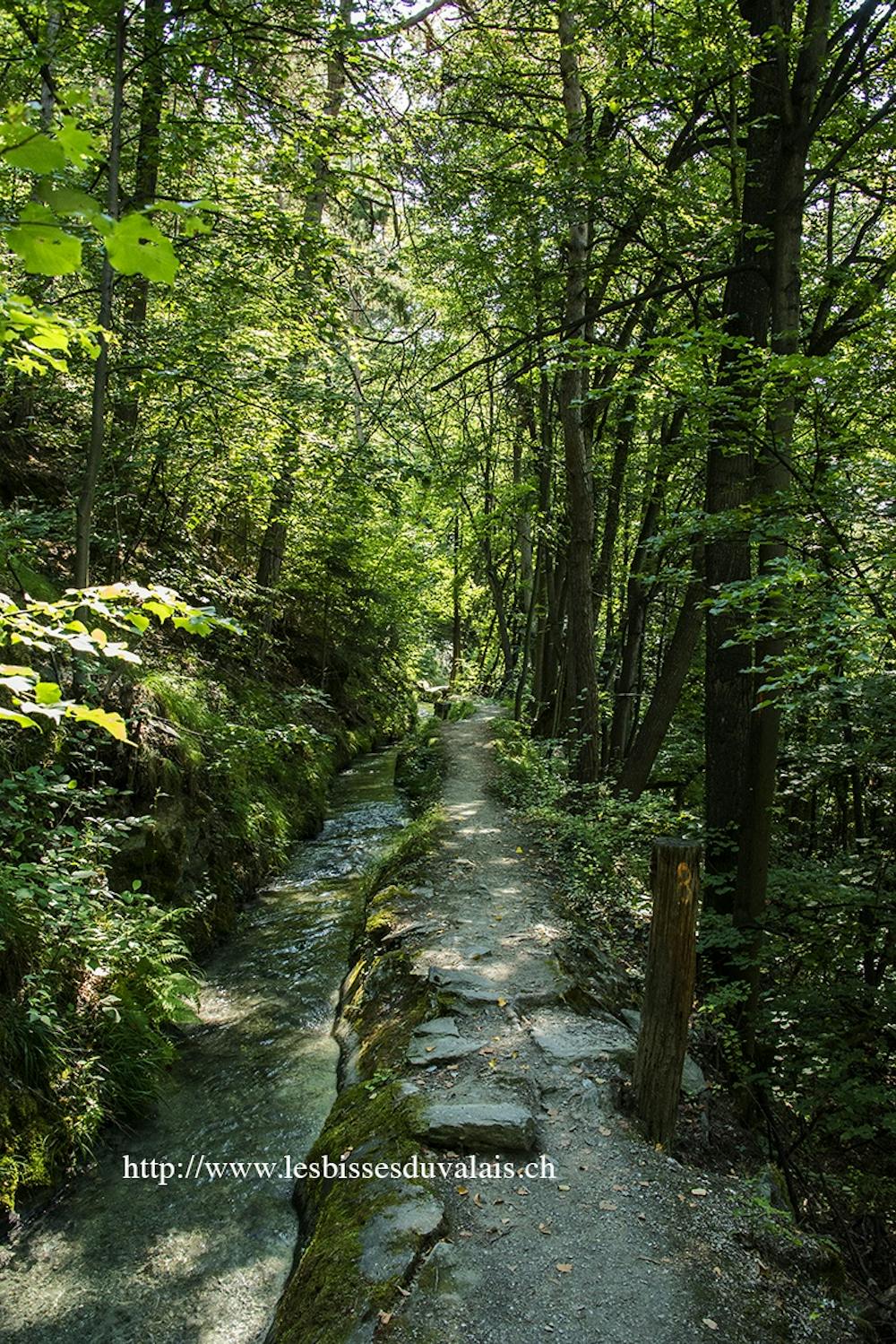
A beautiful walk through the alpine and down to the valley walking along the Vercorin and then Ricard bisse built in the 15th century.
Difficult
Hiking trails where obstacles such as rocks or roots are prevalent. Some obstacles can require care to step over or around. At times, the trail can be worn and eroded. The grade of the trail is generally quite steep, and can often lead to strenuous hiking.
7.7 km away
A long, quiet, and wild walk through the high alpine with a fantastic lakeside lunch stop
Moderate Hiking
8.4 km away
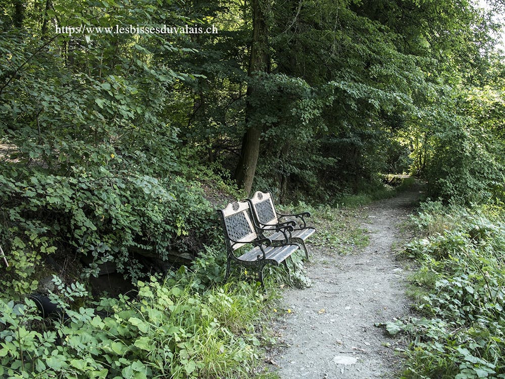
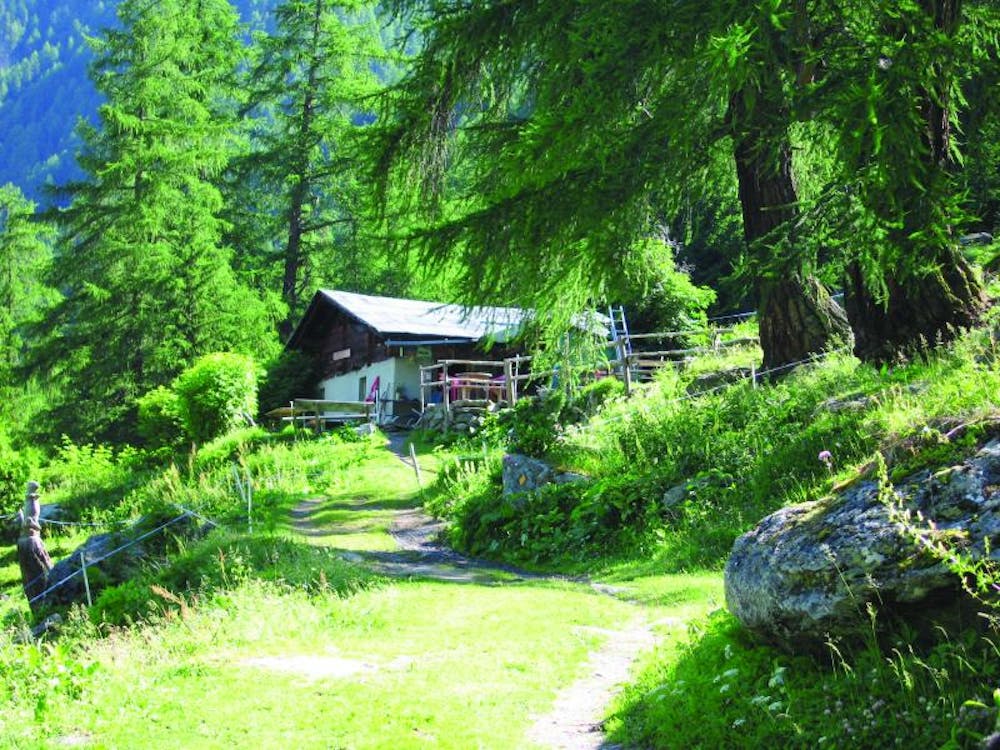
An easy short stroll through the shady forest with wild fruits and good views of the valley below.
Easy Hiking
8.8 km away
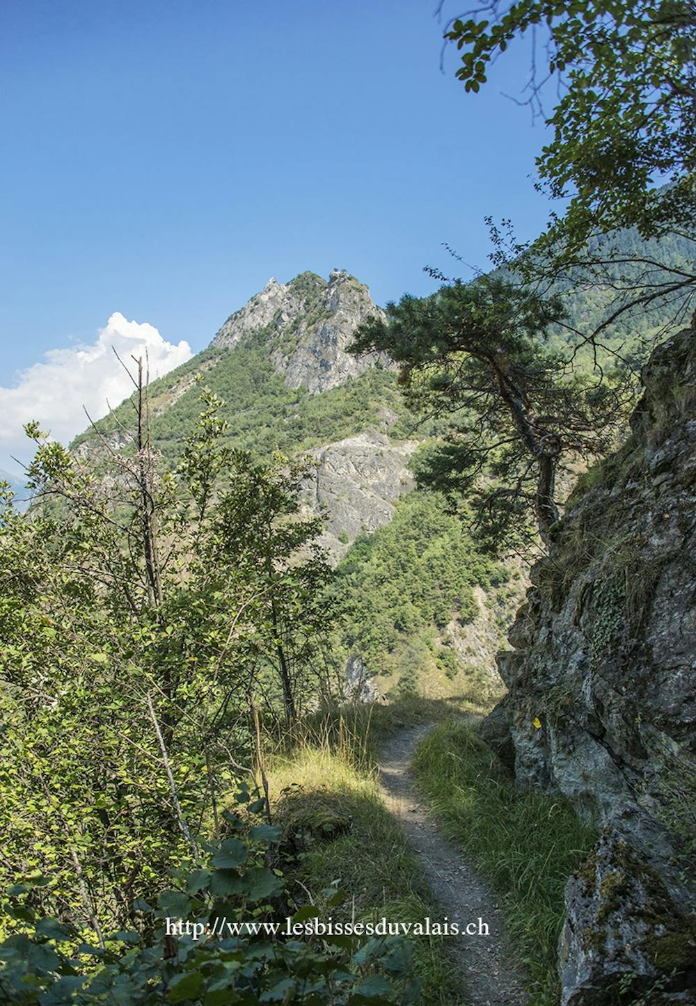
A beautiful scenic route up Mont Noble from the pretty village of Nax through the small forest paths. A full day hike but never too hard.
Difficult Hiking