1.5 km away
Via Alpina: Samoens to Le Buet via the Aiguilles Rouges
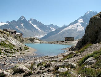
A 3-day hike along part of the Via Alpina in the stunning Haute-Savoie region of France.
Moderate Hiking
- Distance
- 53 km
- Ascent
- 3.8 km
- Descent
- 3.2 km
by Raphael Garagnon
Hiking Difficult

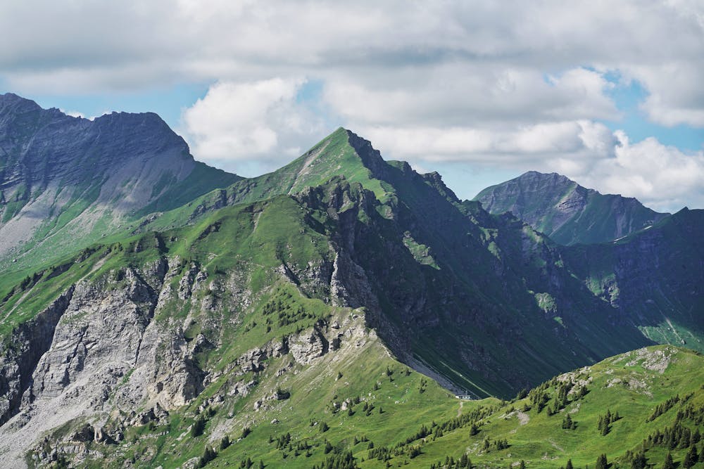
Trail des Frahans is partially based on the Ultra Trail du Haut Giffre Race. This track can be done in about 10 hours. We left Samoëns a little before sunrise, in the direction of La Bourgeoise and then the Pointe de Chamossière. After the first 1000 meters of positive elevation gain, we’ve enjoyed a superb view of the Mont Blanc massif. Heading for the Joux Plane lake and the Pointe d'Angolon. The calves get hot on the way up and the thighs on the way down, it's pretty steep and might be dangerous in wet conditions! Then a great aerial crossing through the ridges to reach the Lac des Mines d'Or. Then head towards the Col de Coux which marks the border with Switzerland! We’ve decided to avoid the Col de la Golèse to take a slightly more technical variant which takes us directly up to the Pas de la Latte via a neve crossing. A short break at the Tête de Bostan to enjoy the view. To end-up this beautiful journey, a long descent remain to reach back Samoens.
Difficult
Hiking trails where obstacles such as rocks or roots are prevalent. Some obstacles can require care to step over or around. At times, the trail can be worn and eroded. The grade of the trail is generally quite steep, and can often lead to strenuous hiking.
1.5 km away
A 3-day hike along part of the Via Alpina in the stunning Haute-Savoie region of France.
Moderate Hiking
3.9 km away
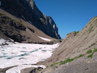
A hike beginning with easy trails and ending by scrambling to a summit.
Extreme Hiking

3 routes · Hiking