4.1 km away
The Boccalatte Hut.
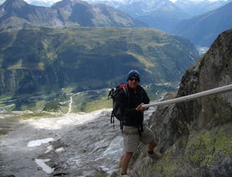
An exceptional, adventurous hike featuring some sections of easy via ferrata and exposed terrain.
Extreme Hiking
- Distance
- 4 km
- Ascent
- 1.2 km
- Descent
- 0 m
Day 6: The second border crossing and the highest col on the main Tour du Mont Blanc route.
Also in Aoste, Italy
Hiking Difficult

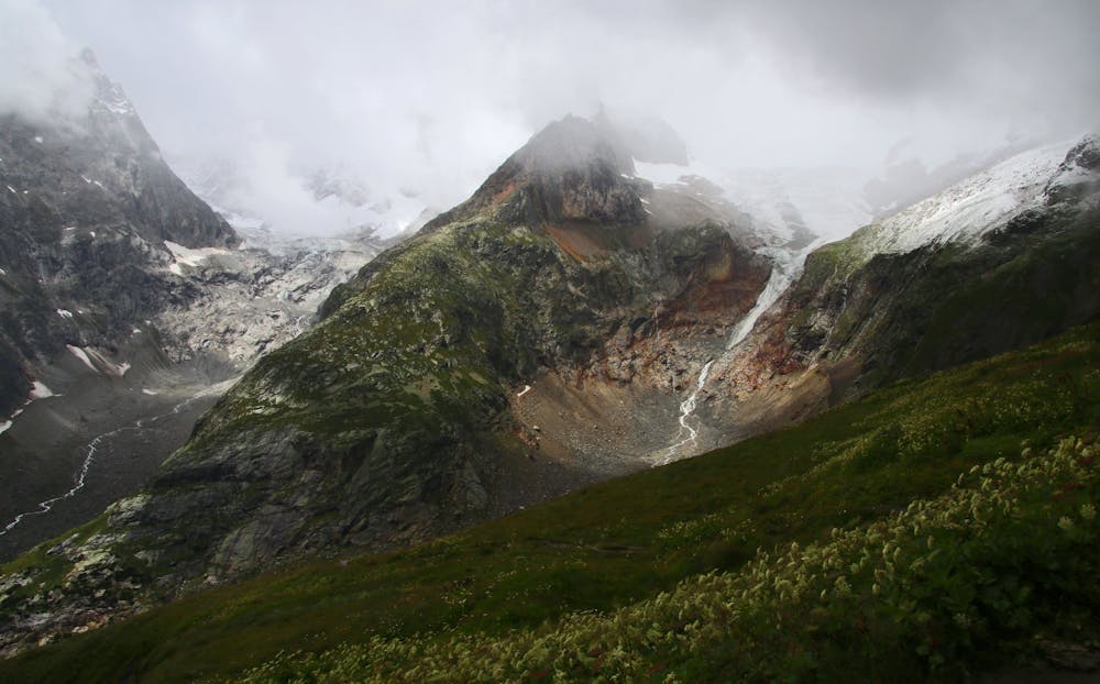
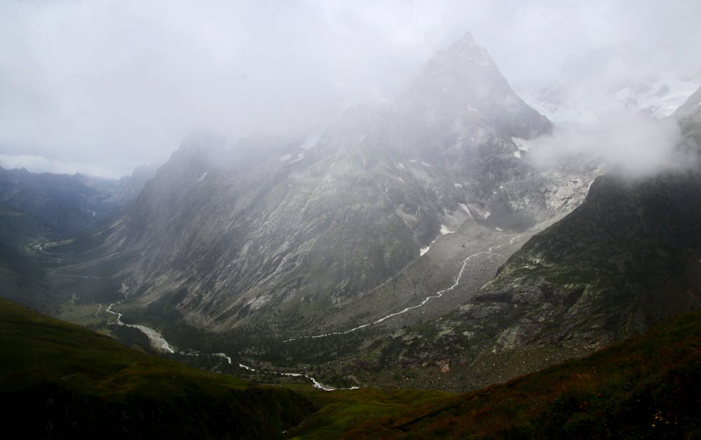
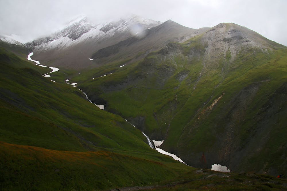
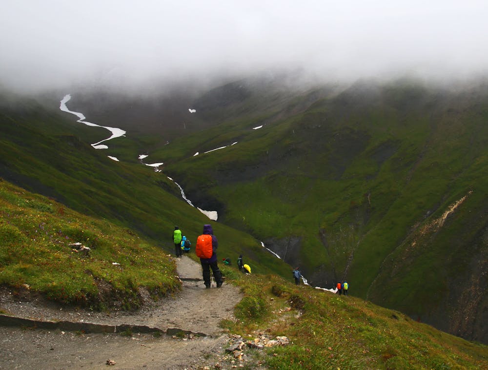
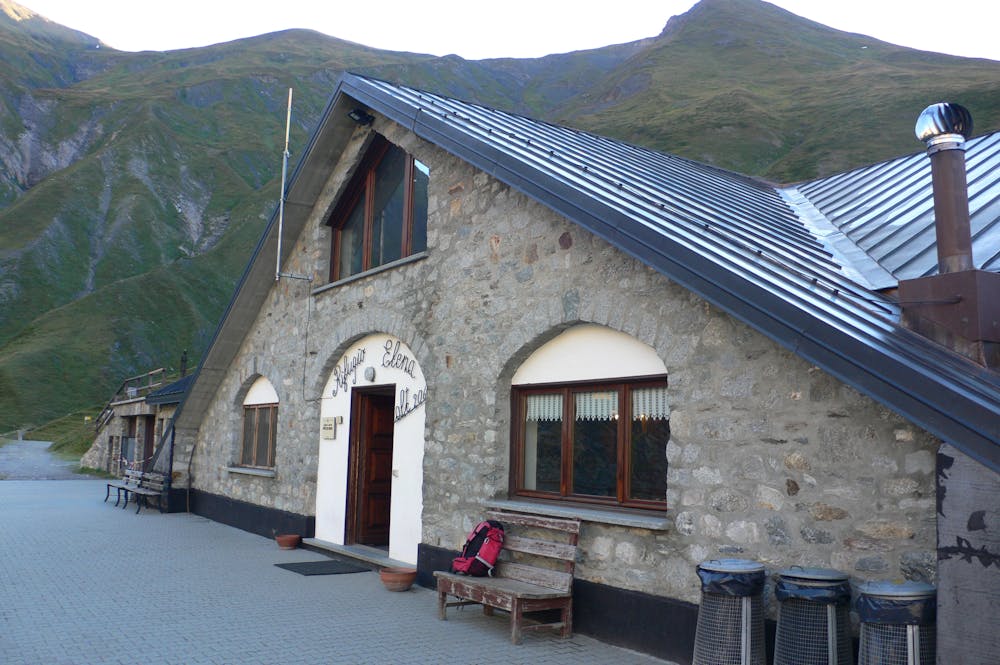
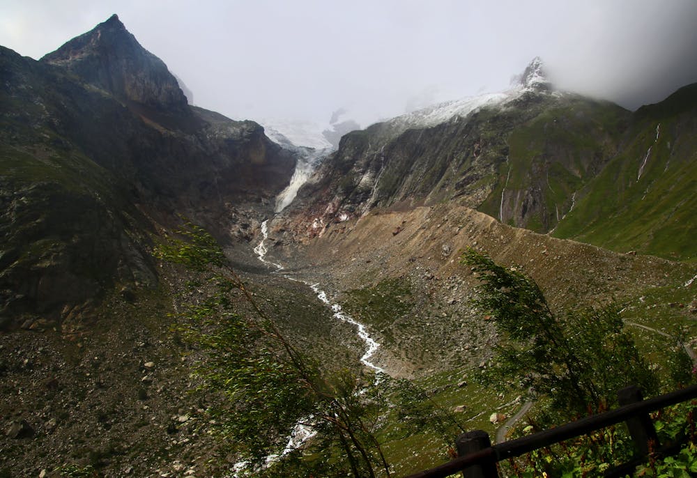
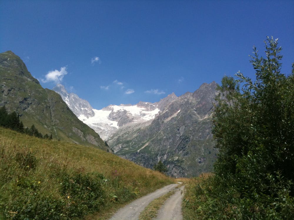
From Lavachey, either walk or take the public bus for 3.5 kilometres to the end of the tarmac road (Arp Nouva, 1771 metres). Make the 1 hour climb up a jeep track to the Rifugio Elena (2062 metres), an enourmous hut with a fine selection of drinks and snacks. Climb 500 vertical metres from here up to the Grand Col Ferret (2537 metres) and upon reaching it, turn around and admire the view back over where you've spent the last few days. It's possible to see all the way back to the Col de la Seigne and taking the time to trace where you walked is very satisfying. Once done admiring the view, drop into Switzerland and descend for an hour down to the small cafe at the La Peule farm, which is a great place to watch an alpine farm at work. From La Peule, continue on down to the small Swiss village of La Fouly, which offers a range of places to eat and sleep.
Difficult
Hiking trails where obstacles such as rocks or roots are prevalent. Some obstacles can require care to step over or around. At times, the trail can be worn and eroded. The grade of the trail is generally quite steep, and can often lead to strenuous hiking.
4.1 km away
An exceptional, adventurous hike featuring some sections of easy via ferrata and exposed terrain.
Extreme Hiking
8.1 km away
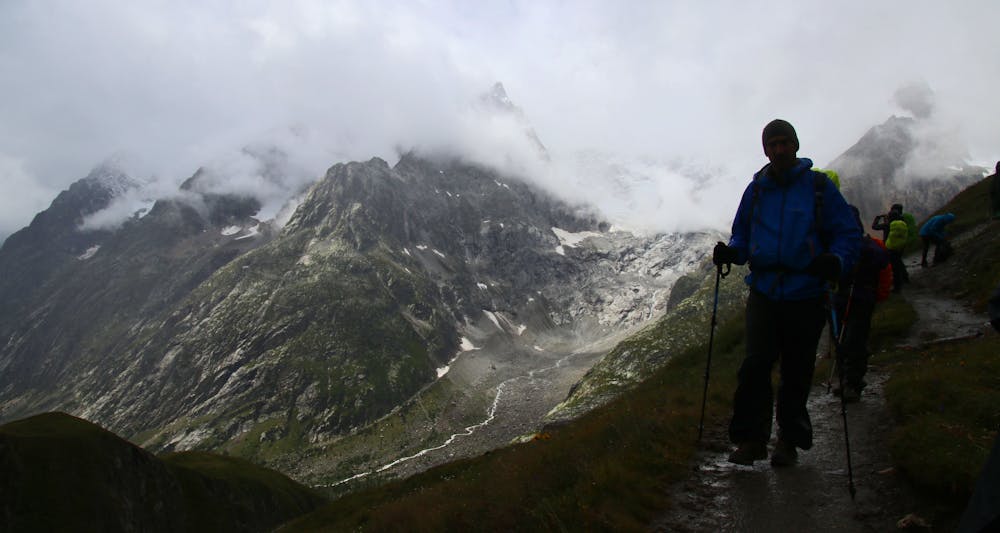
Day 5: Although this day is more of a detour than anything, it is a wonderful one in good weather. If the weather is bad or you're pushed for time, get the bus from Courmayeur to Arp Nouva to join stage 6 and skip out this stage.
Difficult Hiking

14 routes · Hiking

9 routes · Alpine Climbing · Hiking

10 routes · Alpine Climbing · Hiking