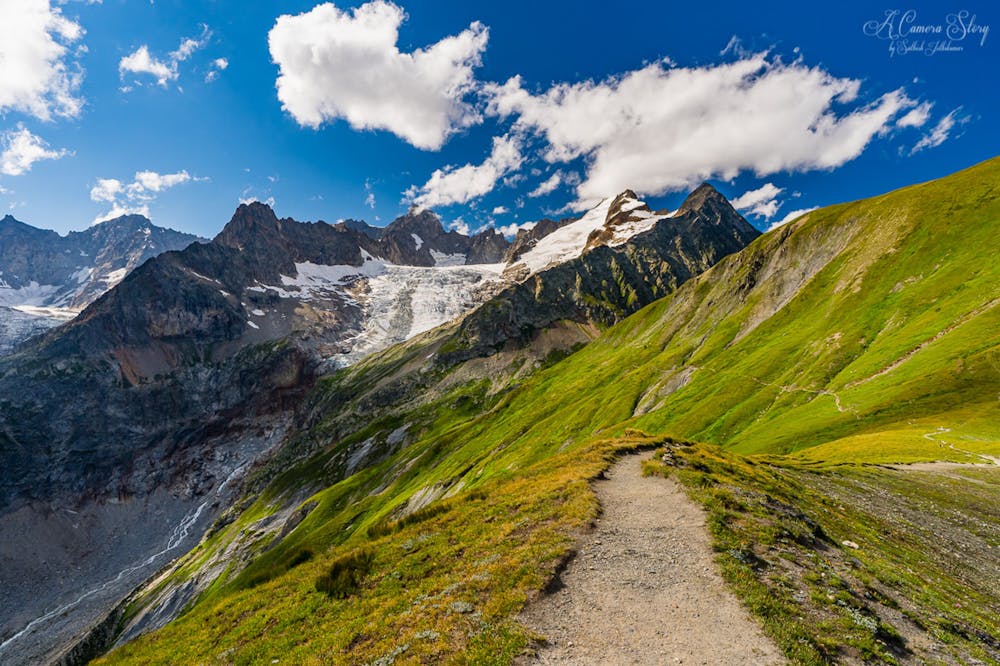
Tour du Mont Blanc: Brévent to Merlet

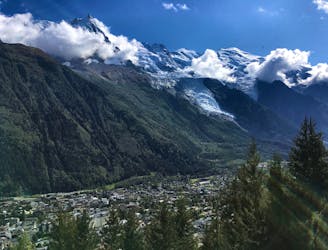
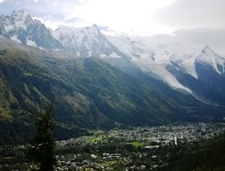
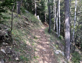
Day 1: A gentle downhill day on the sun-kissed south-facing slopes of the Brévent peak.
Moderate Hiking
- Distance
- 5 km
- Ascent
- 7 m
- Descent
- 998 m
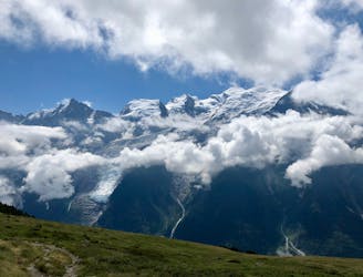
Circumnavigate the iconic Mont Blanc massif on this epic multi-day route.
Hiking Severe

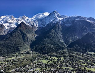
The Tour du Mont Blanc, also known as the TMB, is one of the most popular long-distance hikes in the world. The route circles the entire Mont Blanc Massif, which rises to a height of 4,808 meters above sea level—the highest point in Western Europe and the European Union. The hiking route covers "a distance of roughly 170 kilometres (110 mi) with 10 kilometres (6.2 mi) of ascent/descent and passes through parts of Switzerland, Italy and France,” according to Wikipedia.

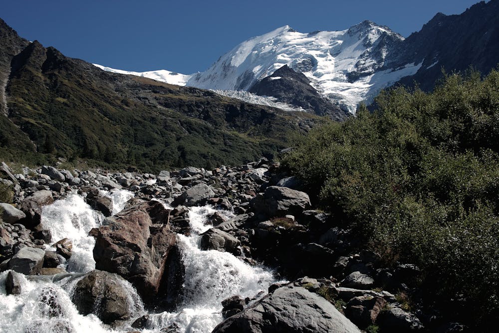
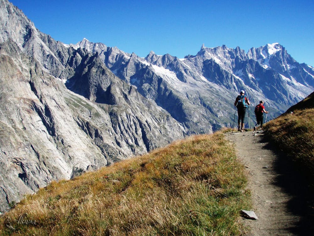
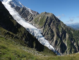
While this epic route doesn’t climb to the summit of Mont Blanc, "the Tour du Mont Blanc is bursting with epic alpine scenery—glaciers, mountains, rivers, lakes, meadows and wildlife," writes Leslie Hittmeier on REI.com. Some of the best scenery comes from the top of high alpine passes—or "cols," in French. There are at least six major cols along the route, and according to FATMAP, you'll top out at a high point of 2,556 meters.
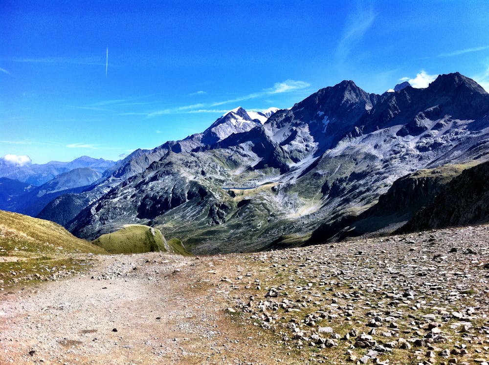
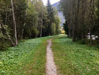
The route mostly follows narrow singletrack hiking trails, with some sections of road walking as you enter and exit the villages along the way. Most of these trails are historic routes dating back to time immemorial. Throughout the hike, you'll pass "churches still intact from the 18th century and walk the same paths that Roman soldiers used 2,000 years ago," according to Hittmeier.
Thanks to a well-developed hut system, along with towns and hotels along the route, there are numerous options for staying overnight and resupplying as you journey around the loop. You can find a hut every 6-10 miles, which prevents you from having to carry too much food or supplies with you.
Hikers complete the loop in anywhere from three to 13 days, or in just about one day if you're an ultrarunner competing in the UTMB. Due to the plethora of huts and 17 different villages along the route, you can easily create thru-hike itineraries of radically different difficulties, depending on the experience you're looking for. For a detailed itinerary breaking out every single day, be sure to dive deeper into the full TMB guidebook.
The version of the TMB mapped here begins from the top of Le Brevent lift. To access the beginning of the route as mapped, take Le Brevent from the town of Chamonix.
Severe
Hiking challenging trails where simple scrambling, with the occasional use of the hands, is a distinct possibility. The trails are often filled with all manner of obstacles both small and large, and the hills are very steep. Obstacles and challenges are often unexpected and can be unpredictable.

The trail contains some obstacles such as outcroppings and rock which could cause injury.

Little chance of being seen or helped in case of an accident.
Day 1: A gentle downhill day on the sun-kissed south-facing slopes of the Brévent peak.
Moderate Hiking
1.2 km away

Escape the crowds at Lac Blanc by hiking to Lac Cornu instead.
Severe Hiking
2.7 km away
A classic loop around the Chamonix Valley.
Moderate Hiking
2.8 km away
A short and pleasant hike up to a picturesque little mountain hut.
Moderate Hiking
3 km away

While one of the less interesting sections of the TMB, this stretch still offers a few hidden trail gems.
Moderate Hiking
3.1 km away
The easiest hike in Chamonix.
Easy Hiking
3.7 km away
A pleasant hike with views of the Mont Blanc Massif
Moderate Hiking
4 km away
A short loop on one of the best sections of the Petit Balcon Sud trail.
Moderate Hiking
4.5 km away
A famous hike which was the starting point for Jacques Balmat and Michel Paccard when they made the first ascent of Mont Blanc in 1786.
Difficult Hiking
4.8 km away
Easy hike to the statue du Christ-Roi.
Moderate Hiking

6 routes · Hiking

14 routes · Hiking

5 routes · Hiking

12 routes · Hiking