381 m away
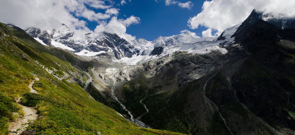
Approach to the Rothorn Hut
A tough climb from a classic alpine village to a classic alpine hut.
Difficult Hiking
- Distance
- 7.4 km
- Ascent
- 1.6 km
- Descent
- 18 m
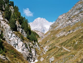
A steep climb to the foot of Zinalrothorn.
Hiking Difficult

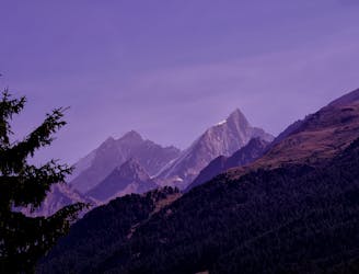
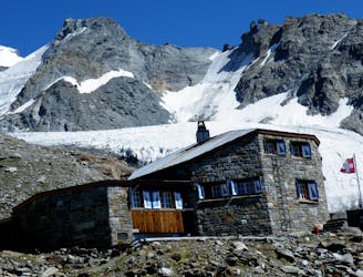
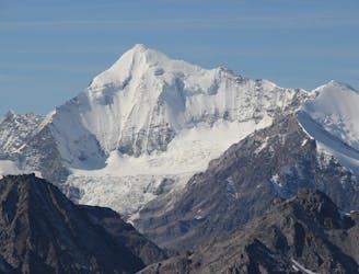
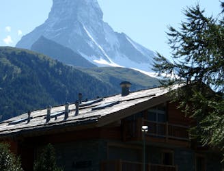
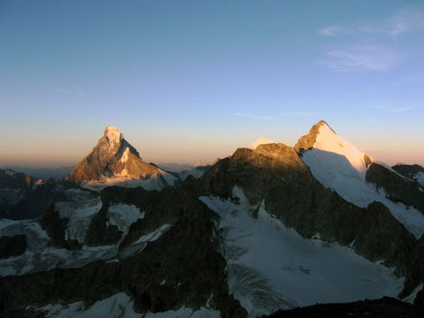
A steep and steady climb directly above Zermatt, Valais, takes you to the charming Rothorn Mountain Hut. It’s 3198 metres above sea level, sitting at the foot of the Zinalrothorn, one of Zermatt's massive 4000ers. From the hut you find yourself above the clouds in the land of the high alpine giants, surrounded by the Weißhorn group.
The hike has an elevation difference of 1600m at a steep gradient, so it's only going to be enjoyable for experienced hikers!
Sources
https://www.outdooractive.com/de/route/wanderung/walliser-alpen/aufstieg-zur-rothornhuette/23904257/
Difficult
Hiking trails where obstacles such as rocks or roots are prevalent. Some obstacles can require care to step over or around. At times, the trail can be worn and eroded. The grade of the trail is generally quite steep, and can often lead to strenuous hiking.

Some trail sections have exposed ledges or steep ascents/descents where falling could cause serious injury.

Away from help but easily accessed.
381 m away
A tough climb from a classic alpine village to a classic alpine hut.
Difficult Hiking
6.1 km away
A relatively short approach if you opt for the taxi, or a long cheap one
Moderate Hiking
8.8 km away
A bruiser of a hut approach, but in a beautiful environment.
Severe Hiking
8.8 km away
A lovely but long walk through the forest with panoramic views of the 4000m giants
Difficult Hiking
9.6 km away
A downhill stroll into Zermatt past some epic scenery.
Moderate Hiking
6 routes · Alpine Climbing · Hiking

9 routes · Alpine Climbing · Hiking

10 routes · Alpine Climbing · Hiking

10 routes · Alpine Climbing · Hiking

9 routes · Alpine Climbing · Hiking

20 routes · Alpine Climbing · Hiking