9.7 km away
Gentianes -> Vertigo
Vertigo, plus some bonus miles!
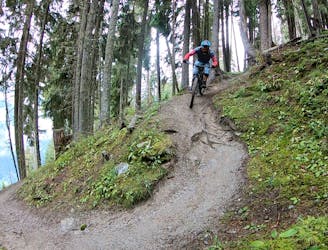
Extreme Mountain Biking
- Distance
- 18 km
- Ascent
- 21 m
- Descent
- 2.1 km
Day 8 of the exhilarating MTB Transalp from Lucerne to Aosta
Also in Aoste, Italy
Mountain Biking Severe

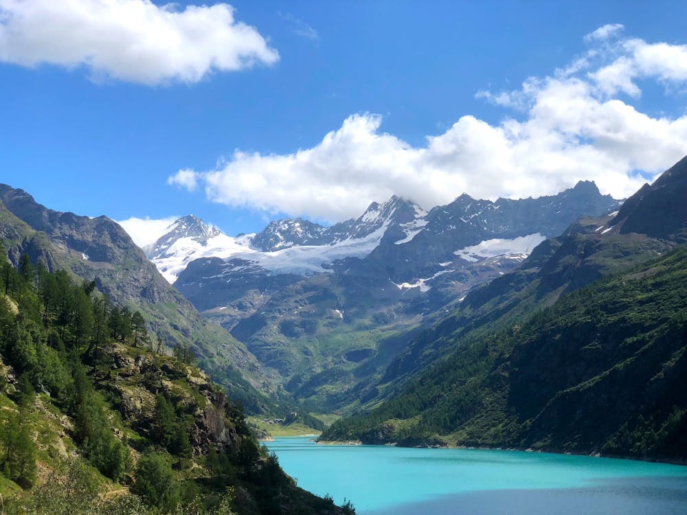
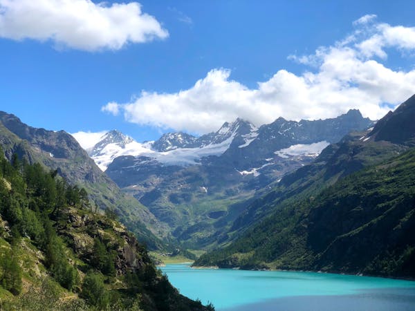
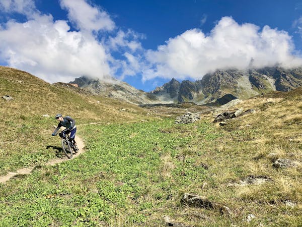
The final day of the Transalp starts like most of the other days, with a big, big climb! First you will meet a junction that leads the Fenetre du Durant before climbing up to 2800m. At the top of the climb, you will be greeted by an epic panorama of surrounding snow-capped peaks. Then you'll continue on to descend steeply, crossing a stream along the way before leaving the trail for asphalt road for the final stretch into the beautiful Roman town of Aosta. Aosta is one of the many jewels of the northwestern Italian Alps. When you’re fully rested and full of the delicious piedmont cuisine, jump on the bus back to Lucerne, which takes roughly two hours. Sources http://aosta-valley.co.uk/destinations/aosta-town/ https://www.mtb-news.de/forum/t/ta-vierwaldstaettersee-lac-leman.688902/
Severe
Widely variable, narrow trail tread with steeper grades and unavoidable obstacles of 15in/38cm tall or less. Obstacles may include unavoidable bridges 24in/61cm wide or less, large rocks, gravel, difficult root sections, and more. Ideal for advanced-level riders.

Some trail sections have exposed ledges or steep ascents/descents where falling could cause serious injury.
Little chance of being seen or helped in case of an accident.
9.7 km away
Vertigo, plus some bonus miles!
Extreme Mountain Biking
8 routes · Mountain Biking
8 routes · Mountain Biking