3.3 km away
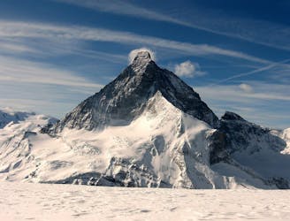
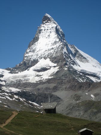
Matterhorn East Face
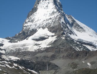
A major extreme line on one of the World's most famous mountains
Extreme Ski Touring
- Distance
- 3.8 km
- Ascent
- 1.1 km
- Descent
- 1.1 km
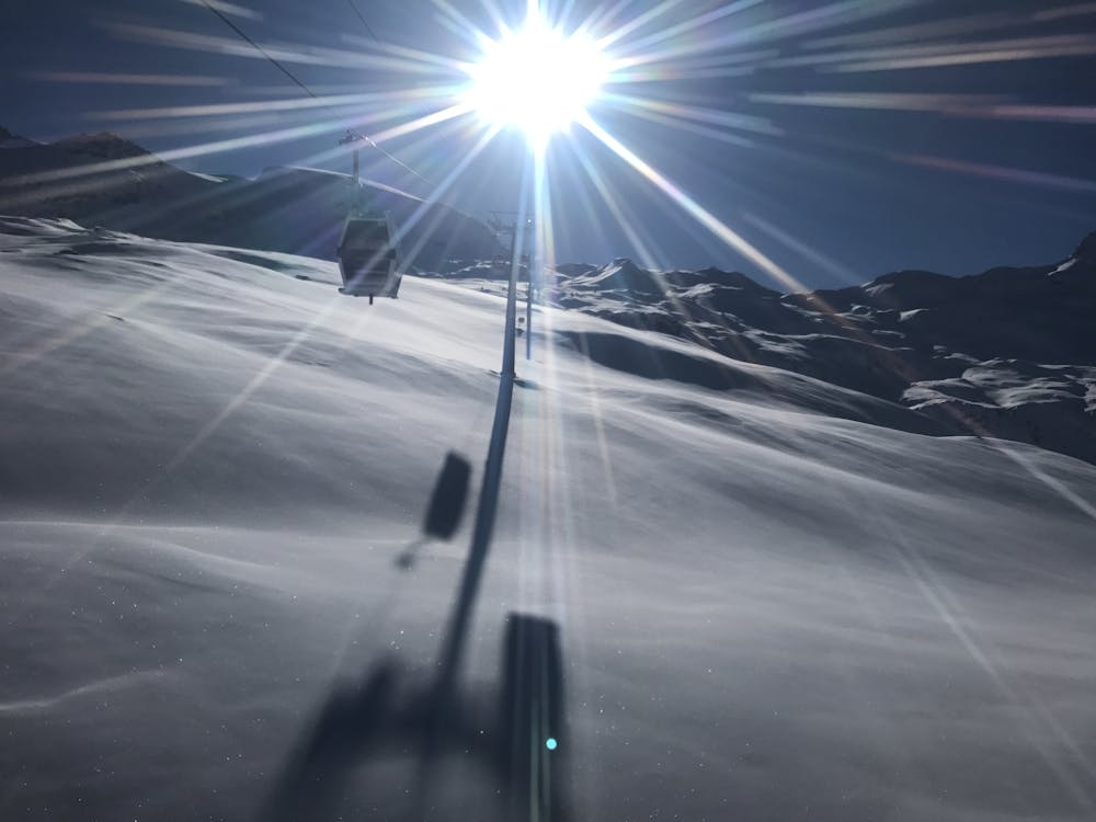
marked route between the ski slopes
Also in Aoste, Italy
Ski Touring Easy

This is a popular ski touring route which is generally considered to be easy. It's not remote, it features low exposure (e1) and is typically done between November and April. From a low point of 2.5 km to the maximum altitude of 3.3 km, the route covers 4.6 km, 793 vertical metres of ascent and 0 vertical metres of descent.
marked route between the ski slopes, you just have to follow te green poles - just watch out when you have to cross the slopes and service snowmobile that uses this path.
Easy
Wide gentle slopes at around 20 degrees or less.

Exposure is limited to that of the slope itself. Getting hurt is still likely if the slope is steep and/or the snow is hard.
Close to help in case of emergency.
3.3 km away
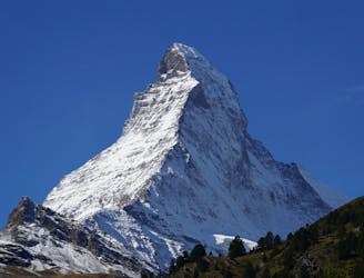
A major extreme line on one of the World's most famous mountains
Extreme Ski Touring
5.7 km away
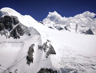
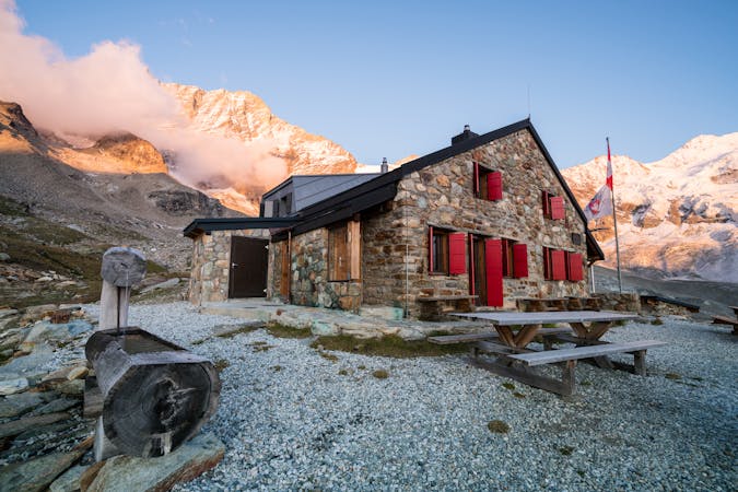
Day 1: Zermatt/Cervinia, Breithorn, Ayas Hut using the cable car to the Klein Matterhorn to start
Difficult Ski Touring
7.1 km away
A huge climb to a 4000m peak then a 2500m descent!
Difficult Ski Touring
7.1 km away
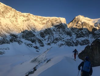
Starting with an amazing backdrop of the Matterhorn in the morning light this unforgettable traverse takes you over a high pass into remote mountain wilderness to the N.
Difficult Ski Touring
7.2 km away
A warm up day that can be lift assisted, travelling under the awe inspiring N face of the Matterhorn to the traditional Schonbiel Hut, well off the beaten track.
Difficult Ski Touring
8.9 km away
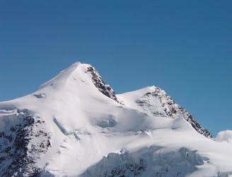
Day 2: Traverse of Castor, optional extra summit of Pollux, beginning at Rifugio Guide d'Ayas and ending at Rifugio Quintino Sella
Severe Ski Touring

5 routes · Ski Touring
5 routes · Ski Touring

16 routes · Ski Touring
3 routes · Ski Touring