3.9 km away
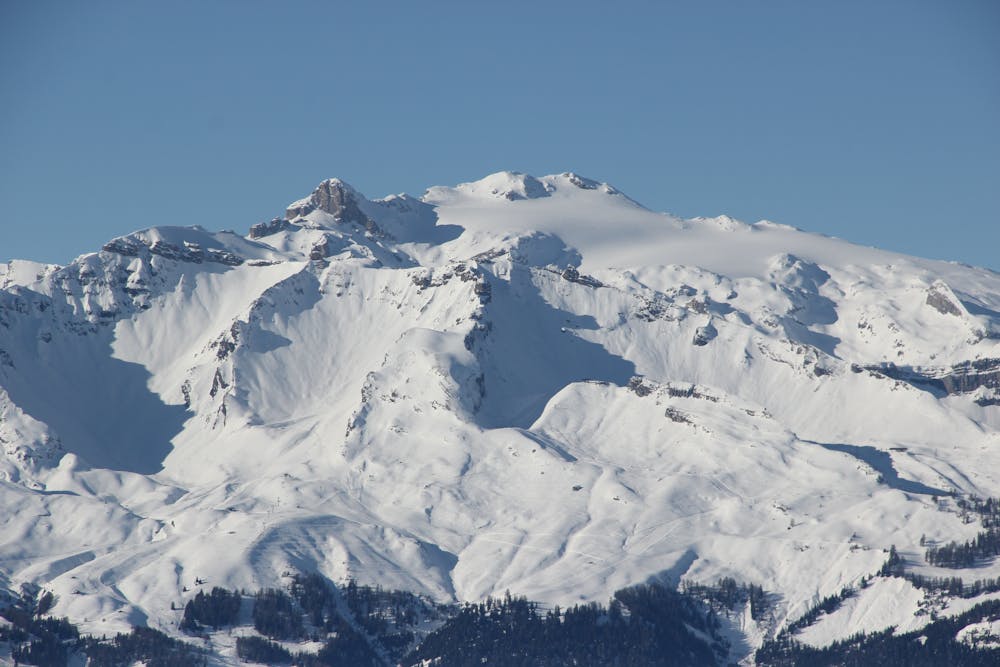
Western Oberland Traverse: Wildhorn Hut to Wildstrubel Hut
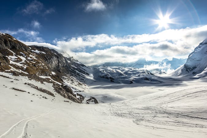
Day 3 of the Western Oberland Traverse, running from the Wildhorn Hut to Wildstrubel Hut.
Difficult Ski Touring
- Distance
- 8.8 km
- Ascent
- 1.1 km
- Descent
- 640 m
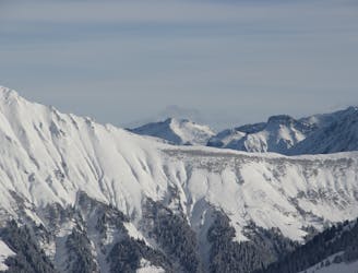
Day 2 of the Western Oberland traverse, running from the Gelten Hut to the Wildhorn Hut via a high summit.
Ski Touring Severe

A fine day traversing the highest peak in the area: 3247-meter Wildhorn.
Head up from the Gelten Hut up the Rottal, taking the left split in the valley, below and to the left of a small ridge, where the summer path lies. Now traverse around to the left, to the west of spot height 2425m, aiming for the east branch of the Gelten Glacier, which leads up to the Col du Brochet. You then need to traverse around the south side of Mt. Pucel, which can be exposed. However, the tracks follow a snowy bench, which is usually not too awkward. A short, steep descent puts you onto the Wildhorn Glacier.
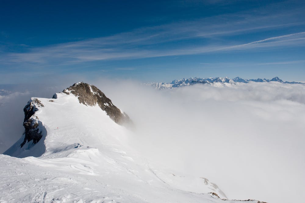
From there, you continue north, and there are a couple of possibilities to get to the summit of the Wildhorn, 3247m.
Regain the glacier below and head northeast, passing to the right of and below Pt. 2915m. Tracks go down to the east (to the right), but don't follow these. Instead, you head to the north onto the Tungel Glacier. Head down below and right of spot height 2786, Chilchi. More steeply, heading down and left you aim for a spur which leads to the Wildhorn Hut at 2303m.
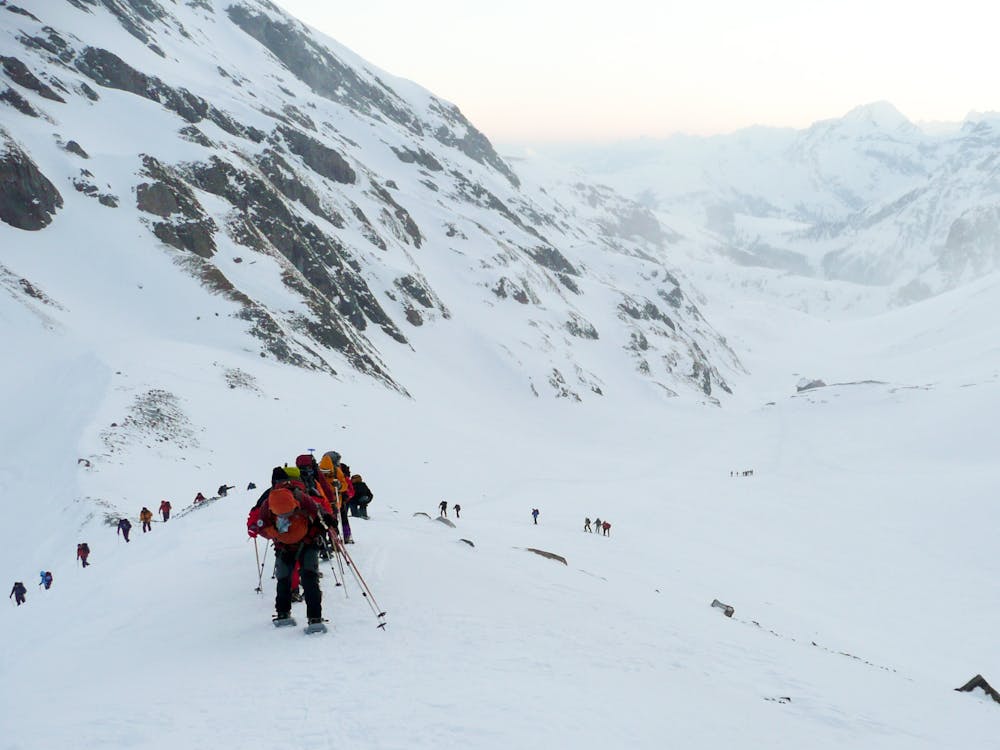
Severe
Steep skiing at 38-45 degrees. This requires very good technique and the risk of falling has serious consequences.

In case of a fall, death is highly likely.

In the high mountains or remote conditions, all individuals must be completely autonomous in every situation.
3.9 km away
Day 3 of the Western Oberland Traverse, running from the Wildhorn Hut to Wildstrubel Hut.
Difficult Ski Touring
5 routes · Ski Touring