62 m away
Young Race Marathon

Une course dédiée aux jeunes !
Moderate Trail Running
- Distance
- 16 km
- Ascent
- 911 m
- Descent
- 1.2 km
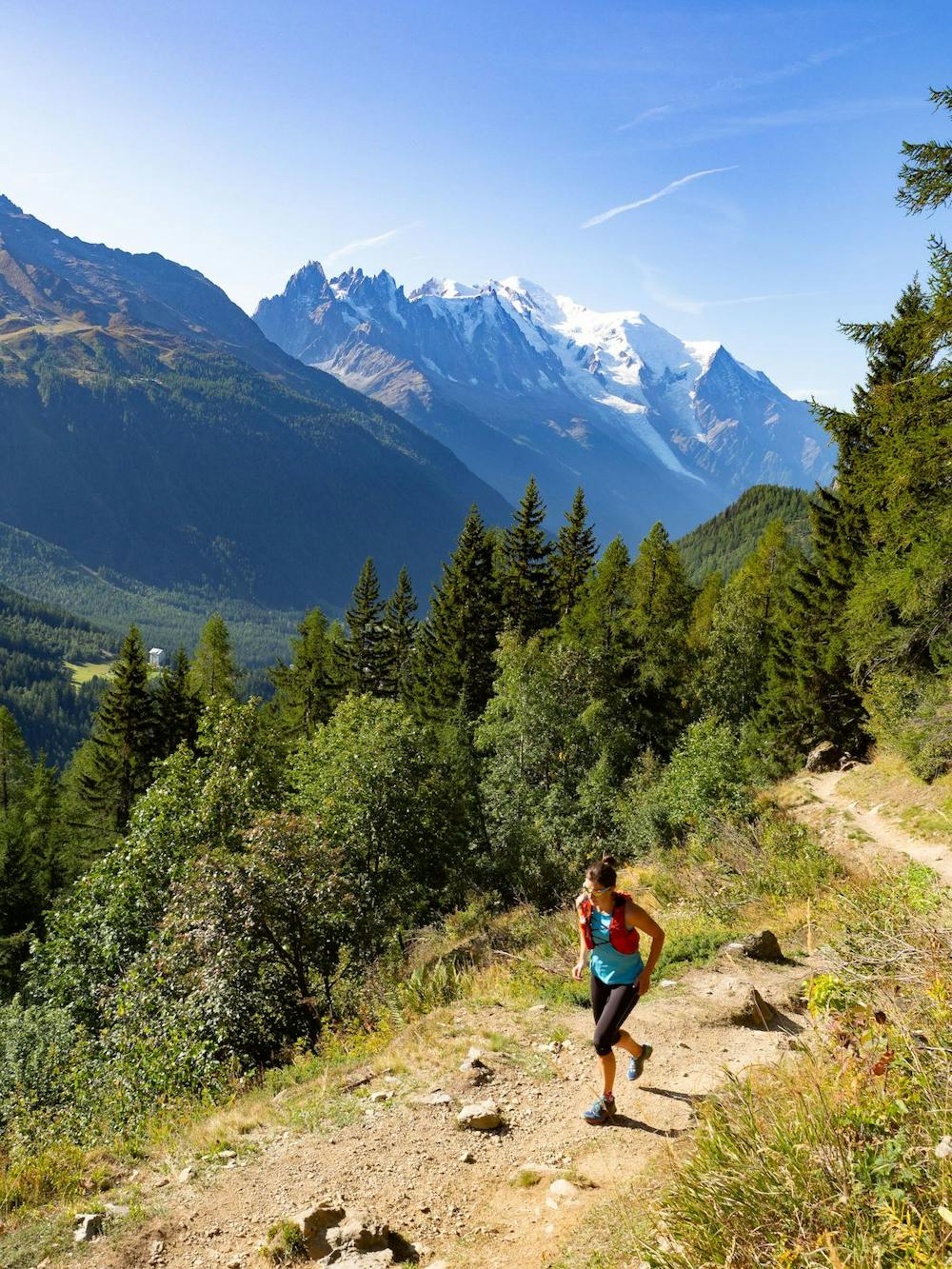
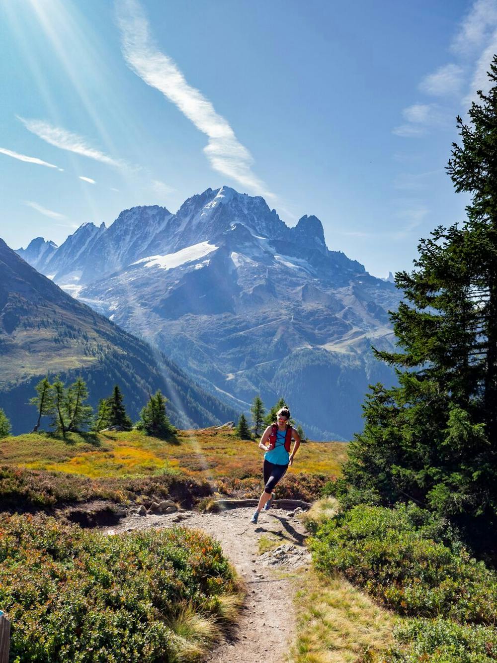
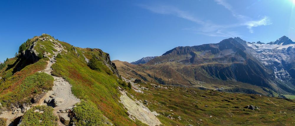
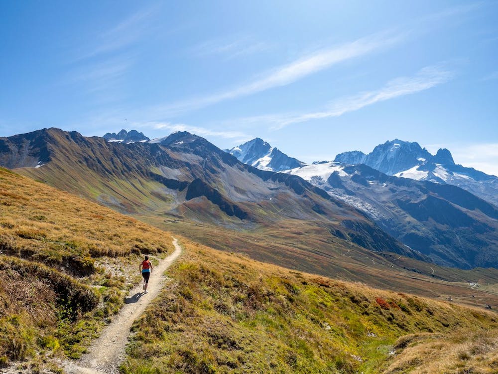
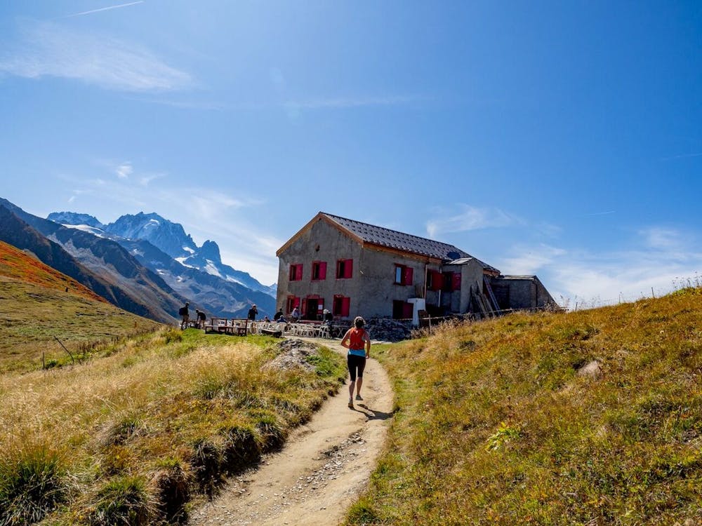
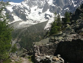
A summit at the head of the Chamonix Valley
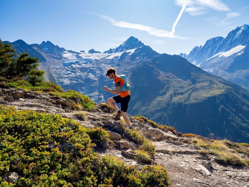
Trail Running Difficult

A morning train ride to Montroc near Le Tour leads to a steep run to tree line, culminating at the gorgeous summit of Aiguillette des Posettes. Highlights include relatively quiet trails and extensive panoramic views of the entire Chamonix valley and over to Switzerland. There's room to vary the route too, with an optional chairlift and gondola to shorten the descent, or you can easily extend the run with a flowing descent back to Chamonix from Le Tour, on trails through woods and villages.
Check out Run the Alps trip options here: https://runthealps.com
Difficult

The trail contains some obstacles such as outcroppings and rock which could cause injury.
Away from help but easily accessed.
62 m away
Une course dédiée aux jeunes !
Moderate Trail Running
1.2 km away
From Le Tour, visit Trient and return along the CCC/UTMB course before discovering the Posettes ridgeline.
Severe Trail Running
7.1 km away
A short loop on one of the best sections of the Petit Balcon Sud trail.
Easy Trail Running
7.2 km away
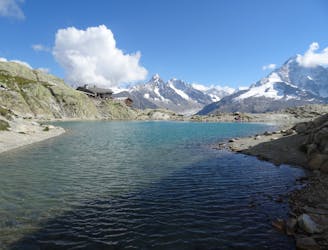
Link four lakes together while enjoying the view of the Chamonix valley.
Severe Trail Running
8.7 km away
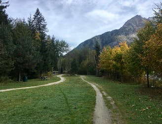
The easiest trail run in Chamonix.
Easy Trail Running
8.7 km away

Le mini cross est un petit trail pour les plus jeunes, de 800m à 3km en fonction des catégories.
Easy Trail Running
8.7 km away

le cross du Mont-blanc
Difficult Trail Running
8.8 km away

La course format 10k de l'événement
Moderate Trail Running
8.9 km away

A classic loop around the Chamonix Valley.
Easy Trail Running
9.1 km away
Enjoy the open vistas of the north balcony between Montenvers and Plan de l'Aiguille on vintage Chamonix trails.
Moderate Trail Running

8 routes · Trail Running