Ski Tour and Hike to Tour D'Ai
Ski tour and hike to Tour D'Ai and around Leysin
Ski Touring Moderate
- Distance
- 15 km
- Ascent
- 1.3 km
- Descent
- 1.3 km
- Duration
- 6-7 hrs
- Low Point
- 1.4 km
- High Point
- 2.3 km
- Gradient
- 38˚

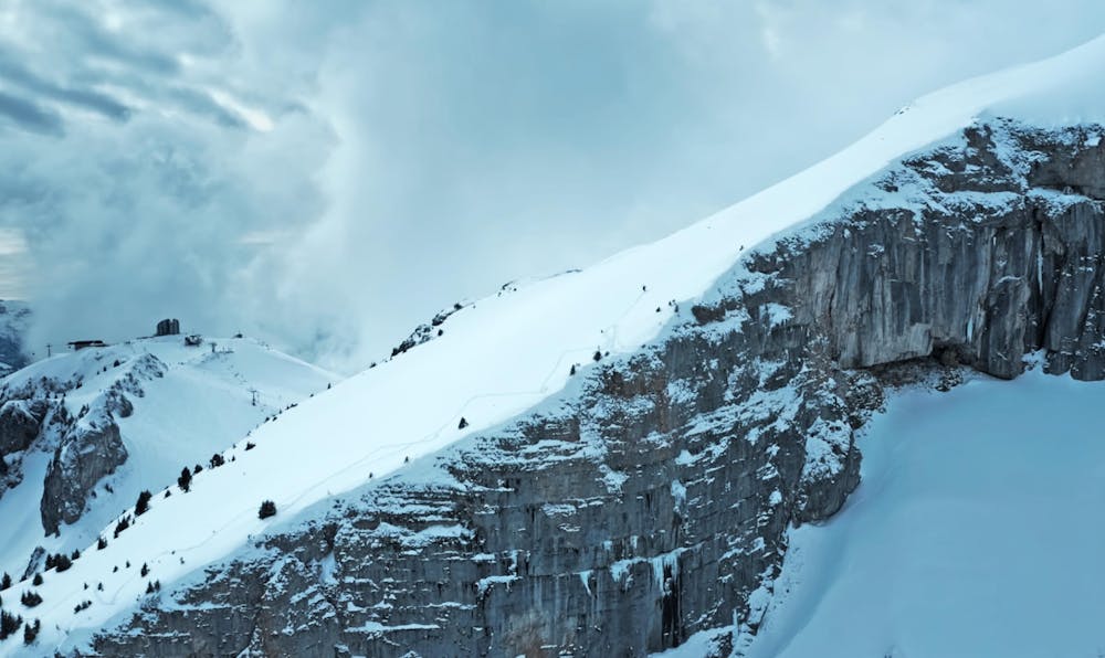
This is a popular ski touring route which is generally considered to be moderate. It's not remote, it features medium exposure (e2) and is typically done between January and April. From a low point of 1.4 km to the maximum altitude of 2.3 km, the route covers 15 km, 1264 vertical metres of ascent and 1264 vertical metres of descent. You'll need skins, ice axe and crampons to complete it safely.
- •
- •
- •
- •
- •
- •
- •
- •
Description
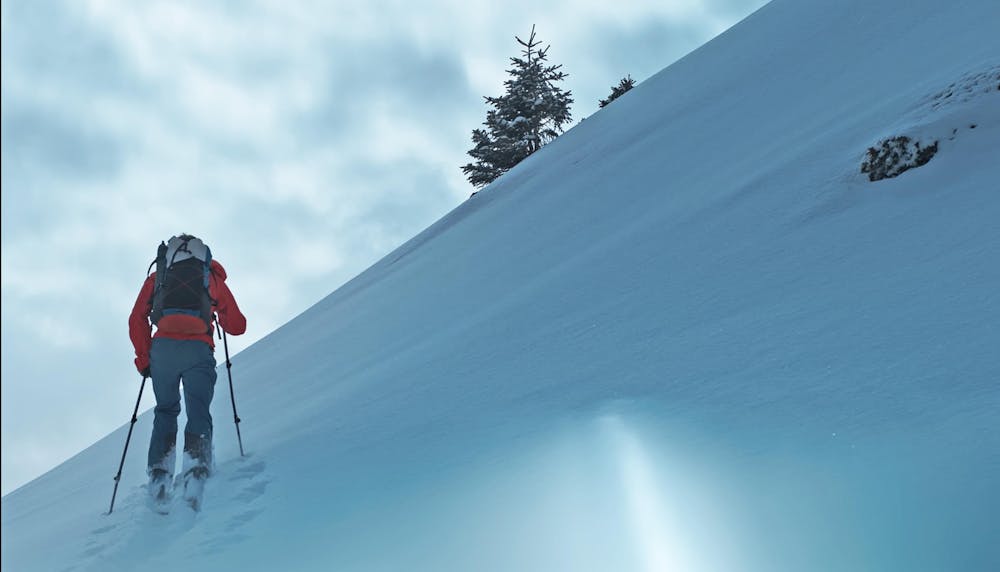
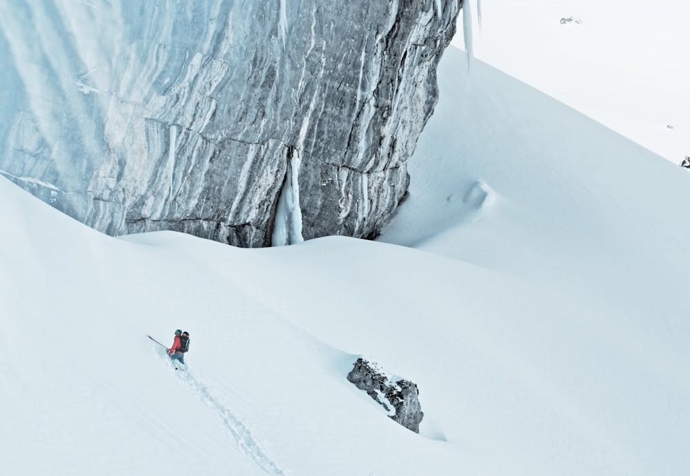
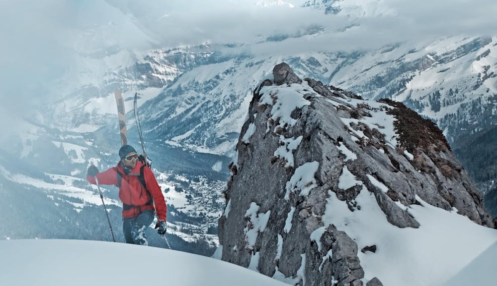
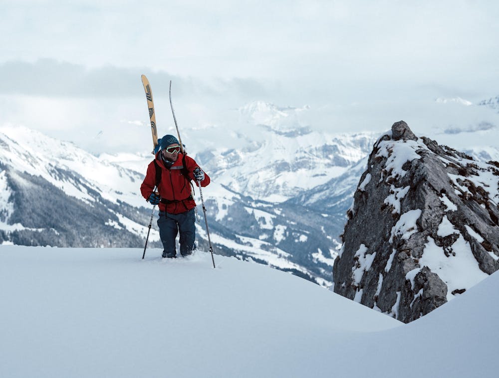
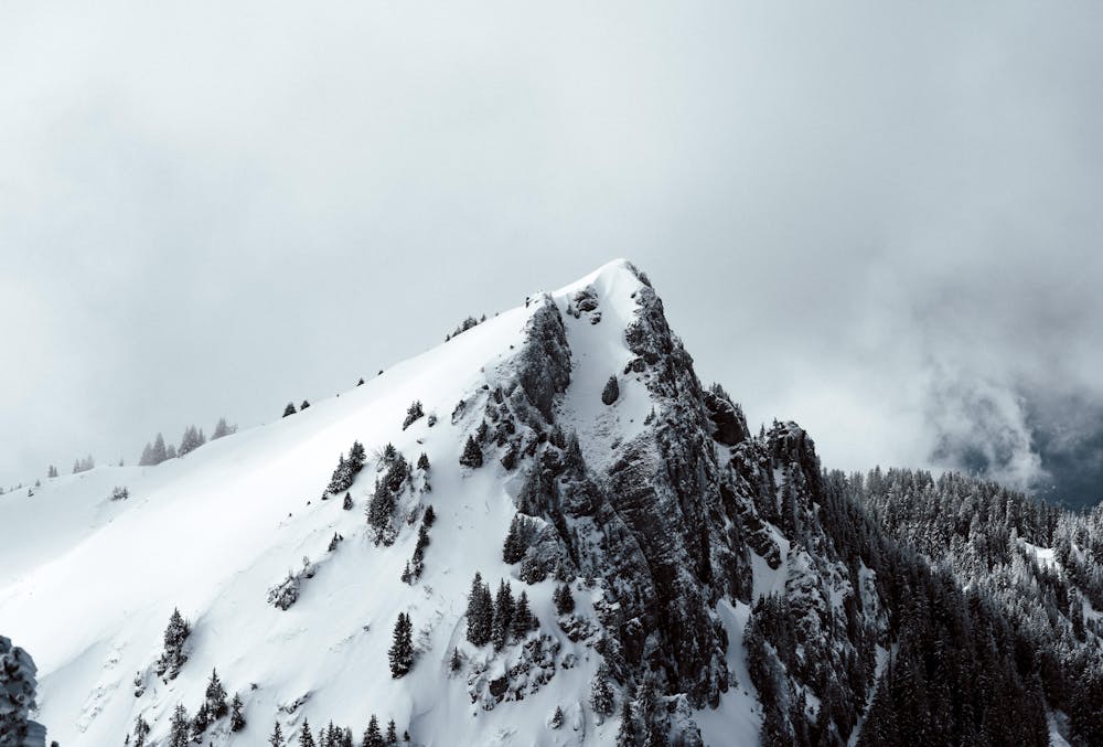
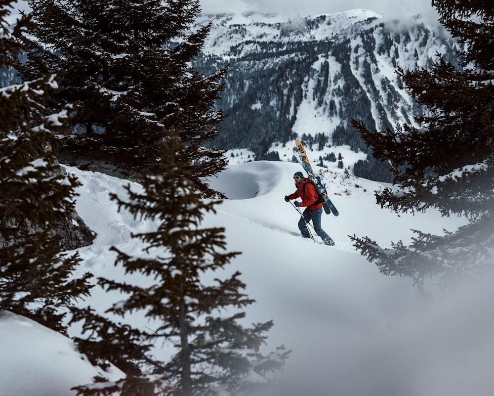
Depending on the snow level a nice tour and hike that summits the Tour D'AI.
Difficulty
Moderate
Slopes become slightly steeper at around 25-30 degrees.
Medium Exposure (E2)

As well as the slope itself, there are some obstacles (such as rock outcrops) which could aggravate injury.
Remoteness

Close to help in case of emergency.
Best time to visit
Features
- Ski Safari
- Tree Skiing
- Single Descent
Equipment required
- Skins
- Ice axe
- Crampons