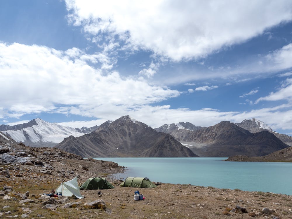
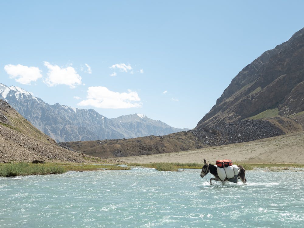
Bachor to BC - Day 3
Day 3 of 3 of the trek into base camp from Bachor.
Hiking Difficult
- Distance
- 4.1 km
- Ascent
- 205 m
- Descent
- 17 m
- Duration
- 1-2 hrs
- Low Point
- 4.3 km
- High Point
- 4.5 km
- Gradient
- 5˚

This is a popular hiking route which is generally considered to be difficult. It's very remote, it features low exposure and is typically done in undefined. From a low point of 4.3 km to the maximum altitude of 4.5 km, the route covers 4.1 km, 205 vertical metres of ascent and 17 vertical metres of descent.
- •
- •
Description
Day three of the trek to base camp from the village of Bachor in the Pamir Mountains of Tajikistan.
Difficulty
Difficult
Hiking trails where obstacles such as rocks or roots are prevalent. Some obstacles can require care to step over or around. At times, the trail can be worn and eroded. The grade of the trail is generally quite steep, and can often lead to strenuous hiking.
Low Exposure

The path is on completely flat land and potential injury is limited to falling over.
Remoteness

Little chance of being seen or helped in case of an accident.
Best time to visit
Features
- Alpine
- Picturesque
- Wild flowers
- Water features