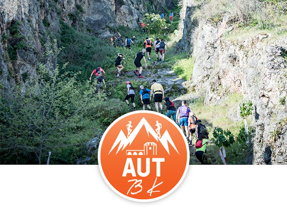
Alanya Ultra Trail - 73K
Sea, Sun, Run in Alanya/Turkey
Trail Running Difficult
- Distance
- 73 km
- Ascent
- 3.7 km
- Descent
- 3.7 km
- Duration
- 1 day +
- Low Point
- 0 m
- High Point
- 1.5 km
- Gradient
- 15˚

This is a popular trail running route which is generally considered to be difficult. It's remote, it features high exposure and is typically done in undefined. From a low point of 0 m to the maximum altitude of 1.5 km, the route covers 73 km, 3734 vertical metres of ascent and 3732 vertical metres of descent.
Description
Run with breathtaking views starting from Marina Square, leaving behind the walls of Alanya Castle, Damlatas Cave, banana gardens and passing through the historical caravan roads and nomadic migration routes.
Difficulty
Difficult
High Exposure

Some trail sections have exposed ledges or steep ascents/descents where falling could cause serious injury.
Remoteness

Away from help but easily accessed.