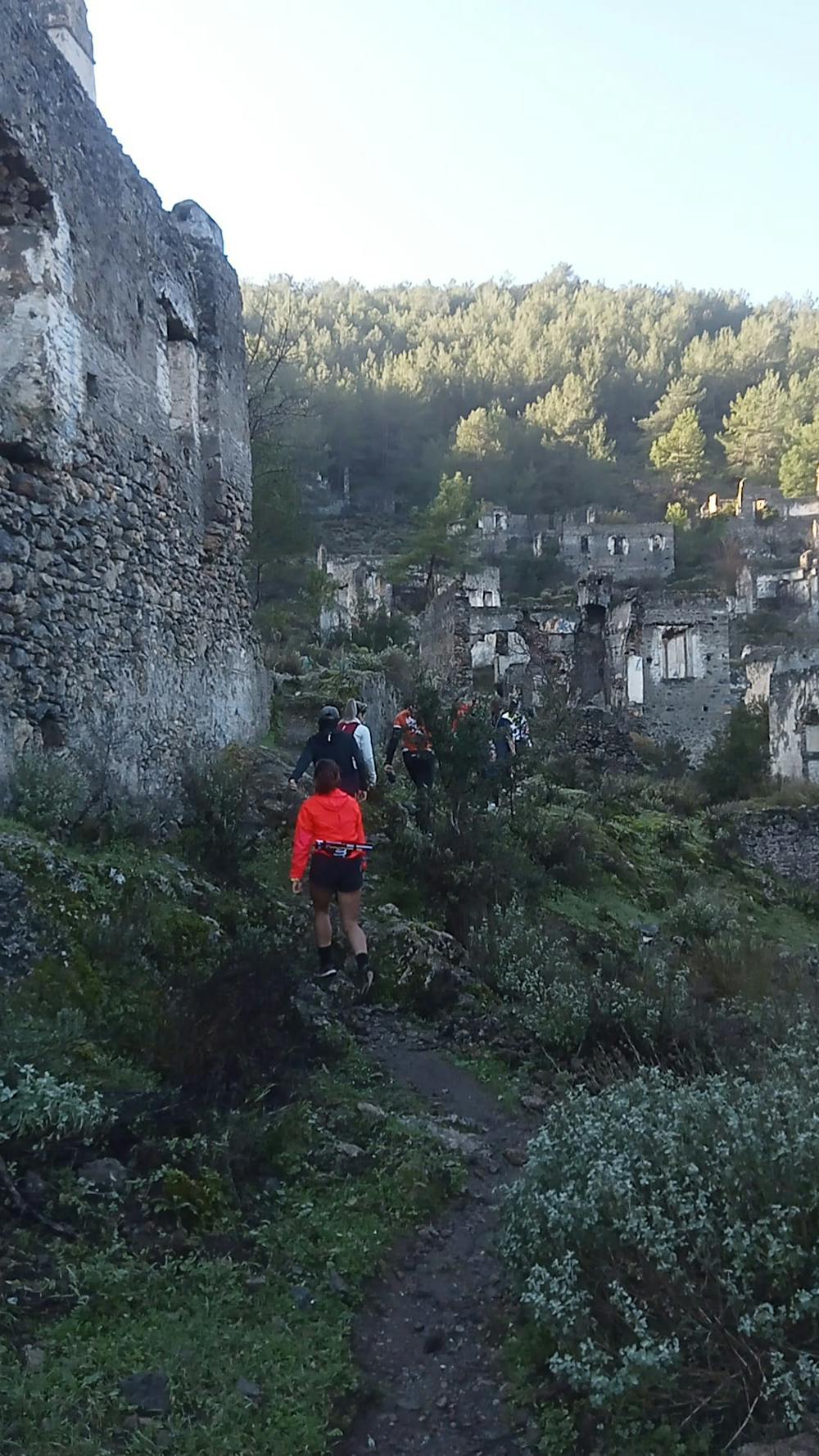
BABADAĞULTRA(KAYAKÖY HİSTORY RUN)
27-28-29 EKİM-OCTOBER 2023
Trail Running Moderate
- Distance
- 14 km
- Ascent
- 622 m
- Descent
- 623 m
- Duration
- 2-3 hrs
- Low Point
- 5 m
- High Point
- 435 m
- Gradient
- 12˚

This is a popular trail running route which is generally considered to be moderate. It's not remote, it features medium exposure and is typically done in undefined. From a low point of 5 m to the maximum altitude of 435 m, the route covers 14 km, 622 vertical metres of ascent and 623 vertical metres of descent.
Description
LİKYA YOLUNUNDA İÇİNDE OLDUĞU BU ROTA GÖRSELGÜZELLİKLERİNİN YANINDA SİZİ BİRAZ ZORLAYACAK.
Difficulty
Moderate
Medium Exposure

The trail contains some obstacles such as outcroppings and rock which could cause injury.
Remoteness

Close to help in case of emergency.