Corrour Bothy Loop (via Linn of Dee)
Cairngorms National Park
Spectacular, "rough and ready" route into the heart of the Cairngorms
Mountain Biking Difficult
- Distance
- 29 km
- Ascent
- 461 m
- Descent
- 461 m
- Duration
- 2-3 hrs
- Low Point
- 358 m
- High Point
- 620 m
- Gradient
- 7˚

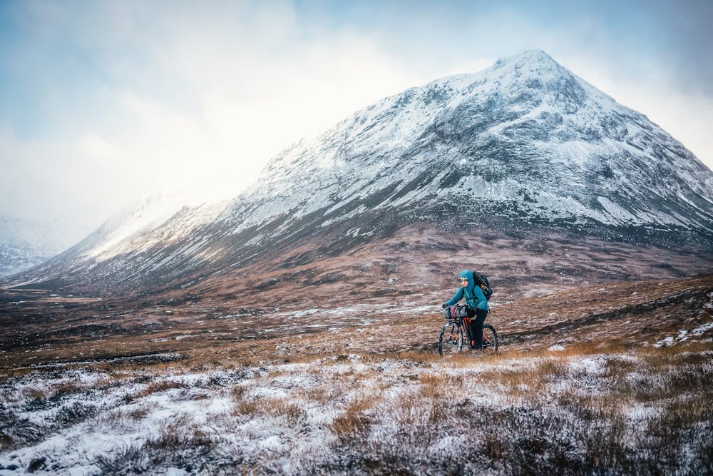
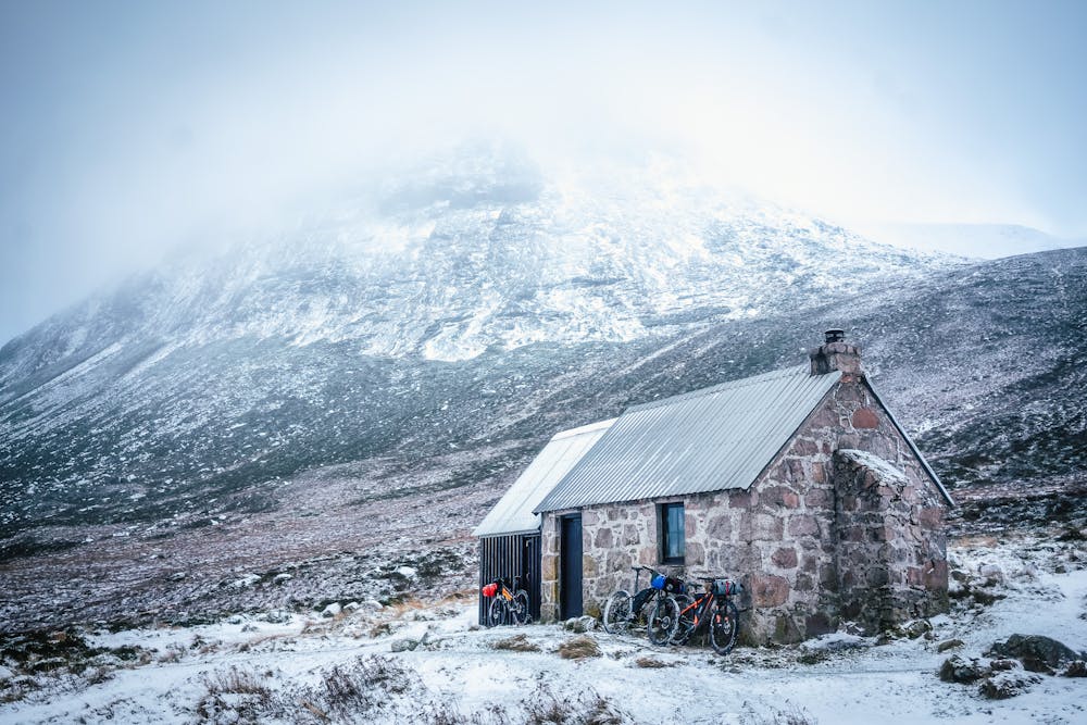
Originally built for observing deer in 1877, Corrour is a truly iconic bothy sitting in the heart of the Cairngorms National Park. Located on a famed mountain pass - the Lairig Ghru – it’s surrounded by many of the UK’s most prominent peaks.
- •
- •
- •
- •
- •
- •
Description
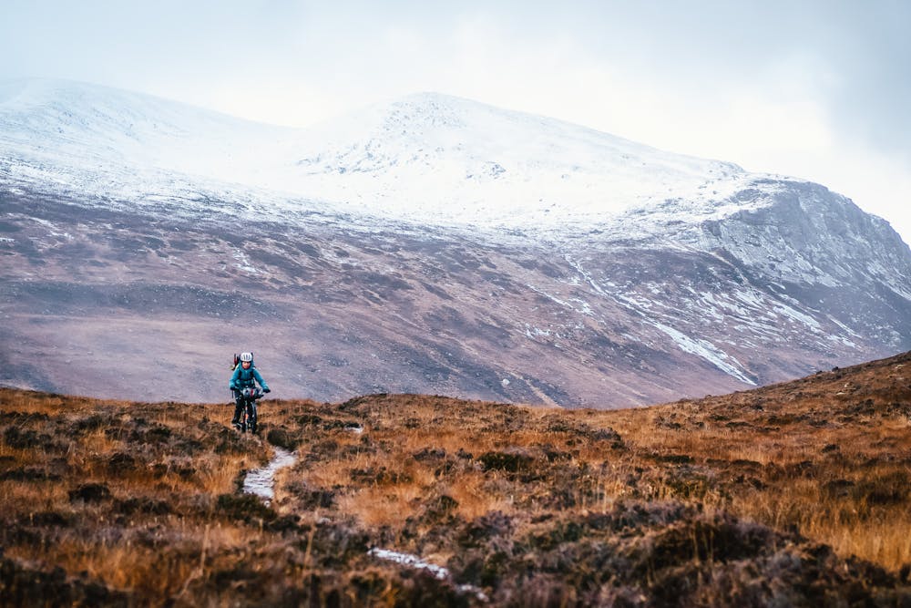
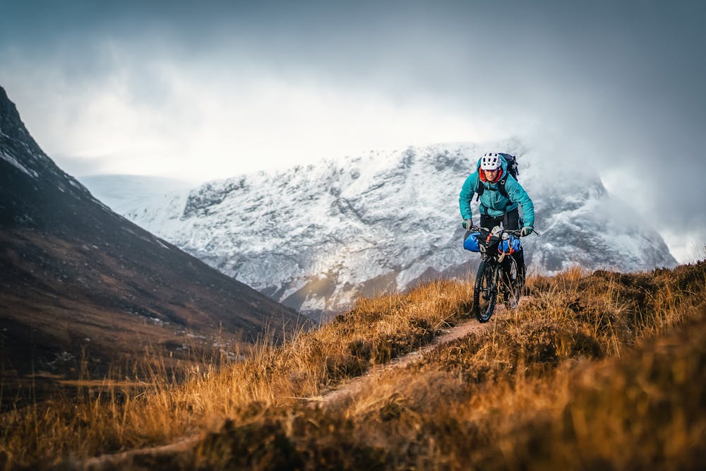
The area truly is like nowhere else, boasting vast Scots pine forests and wild arctic tundra that go on for miles - it’s a true wilderness. Be sure to take a glimpse of the queen’s residence, Balmoral Castle on your way through to start your ride East of Braemer.
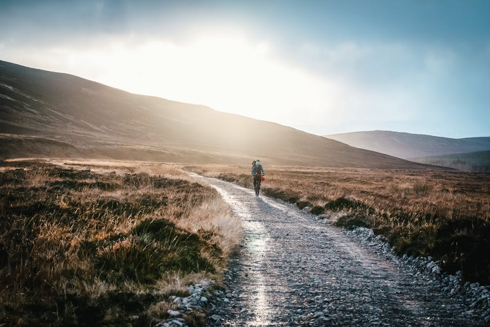
Riding out, follow the beautiful River Dee, gently gaining height as you get onto the Cairngorm Plateau. Once the White bridge is reached, the smooth gravel is unfortunately over and the more challenging terrain begins. Though you should be able to ride the majority, there will be some heavy lifting over the more uneven and boggy ground.
Finally crossing the river Dee, which has remained by your side, this spectacularly isolated Bothy reveals itself at the foot of munro, Devil’s Point. Originally named Bod an Deamhain in Gaelic, which translates to “Penis of the Demon", it was cautiously renamed prior to a visit from Queen Victoria. We'll never know which name Her Majesty would have preferred, but it's most definitely an impressive peak all the same.
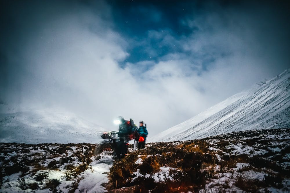
Enjoy the comfort and warmth of this small stone shelter in the most epic of places and then ride back via the route south of Derry Cairngorm. For the more adventurous cyclist, you could do a night in the Bob Scott memorial bothy which is along the route home. This loop can also be done in reverse, or for the hardy hike-a-biker, it is possible to continue up the Lairig Ghru and finish in Aviemore to complete a full Cairngorms traverse.
Difficulty
Difficult
Mostly stable trail tread with some variability featuring larger and more unavoidable obstacles that may include, but not be limited to: bigger stones, roots, steps, and narrow curves. Compared to lower intermediate, technical difficulty is more advanced and grades of slopes are steeper. Ideal for upper intermediate riders.
Medium Exposure

The trail contains some obstacles such as outcroppings and rock which could cause injury.
Remoteness

Little chance of being seen or helped in case of an accident.
Best time to visit
Features
- Technical
- Hike a bike
- Picturesque
- Singletrack
- Drops
- Roots