The Arran Coastal Way
Circumnavigate "Scotland in miniature" over the course of a blissful week
Hiking Difficult
- Distance
- 111 km
- Ascent
- 2 km
- Descent
- 2 km
- Duration
- 1 day +
- Low Point
- 1 m
- High Point
- 860 m
- Gradient
- 16˚

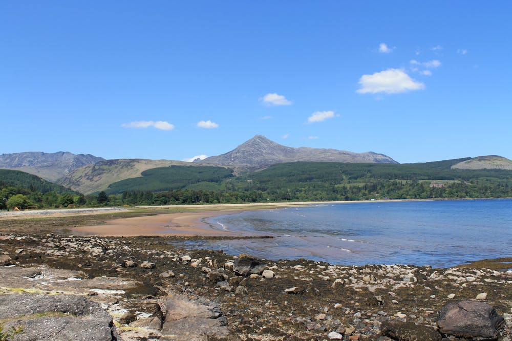
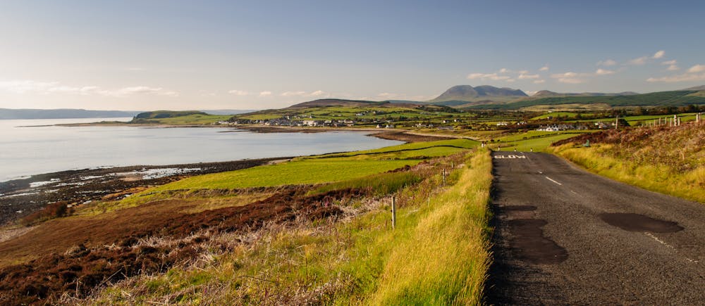
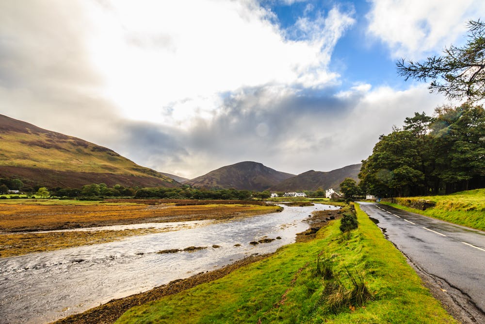
With peaceful seafront villages, rugged coastline and spectacular mountains, Arran is known as a miniature Scotland for good reason. The island is densely packed with hills, glens and beaches, and is also home to an extraordinary amount of beautiful granite, making it a paradise for adventurous rock climbers.
- •
- •
- •
Description
This journey around the coast of the island is spectacular, and if you're looking for a week long hike in Scotland, it's hard to beat. You can access Arran via a ferry from the Scottish mainland, and the boat pulls into Brodick - the largest village on the island and the base for this trip. Once on the hike you'll always be able to find a bed and a meal in the various villages which dot the coastline, but book ahead to ensure that the hotel you're aiming for has space for you - there are some villages where there's only one option for accommodation! No sections of the hike are impossible in bad weather so you can plan your schedule in advance and stick to it provided you don't mind getting rained on a couple of times!
The first section of this hike passes over Goatfell, the highest mountain on Arran and a popular objective. If you want to skip Goatfell out and simply head to Sannox village via a low level path then you can easily do so, but tagging Arran's best known landmark is highly recommended.
Once past Goatfell the trail follows the coastline all the way around the island and cuts inland only occasionally, except for the long stretch from the island's south-east corner up to Cordon, a section which is usually broken up by a trip to Lagg in order to find accommodation.
Upon returning to Brodick, celebrate an incredible trip by sampling the legendary fish and chips which the village is known for!
Difficulty
Difficult
Hiking trails where obstacles such as rocks or roots are prevalent. Some obstacles can require care to step over or around. At times, the trail can be worn and eroded. The grade of the trail is generally quite steep, and can often lead to strenuous hiking.
Medium Exposure

The trail contains some obstacles such as outcroppings and rock which could cause injury.
Remoteness

Little chance of being seen or helped in case of an accident.
Best time to visit
Features
- Wildlife
- Historical
- Picturesque
- Summit Hike
- Water features
- Family friendly