3.6 km away
Stob Ghabhar Solitude
Solitude and isolation, yet just off the A82.
Difficult Trail Running
- Distance
- 17 km
- Ascent
- 1 km
- Descent
- 1 km
If short on time, then this VK will be right up your street!
Trail Running Difficult

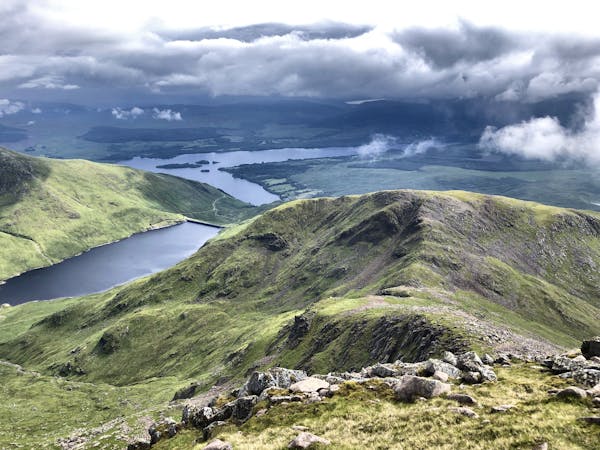
This route might be short in distance, but you get a lot of bang for your buck. It’s a great training run and one which can be completed when in transit heading north or south on the A82. Parking for the route can easily be found on Bridge of Orchy.
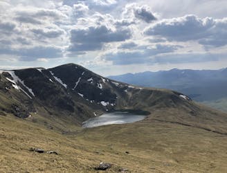
Start up the road in the housing before crossing the railway line and picking up the hill track. This track follows the burn all the way to the saddle between the two Munros, which makes the route exceptionally easy to navigate, even on a day with less than perfect visibility.
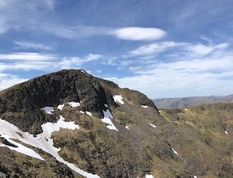
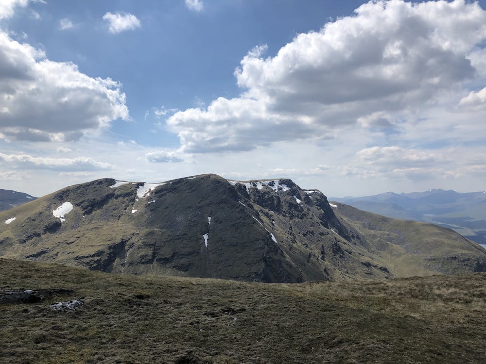
Once you reach the summit, you can choose which summit to do first, take the left branch to Beinn an Dòthaidh (1004m), or the right one to Beinn Dorain (1076m). It doesn’t matter which one you do first as they both have similar views, and you’ll take the same path up and back to the saddle for both before heading the opposite direction on to the next. Once you’ve knocked off both Munros, descend the same track you took up back to Bridge of Orchy.
Beinn an Dòthaidh (or both) can also be incorporated into a much larger loop along with Beinn Achaladair, Meall Buidhe, and Beinn a’ Chreachain. See the other route in the guidebook for this loop.
Difficult

The trail contains some obstacles such as outcroppings and rock which could cause injury.
Away from help but easily accessed.
3.6 km away
Solitude and isolation, yet just off the A82.
Difficult Trail Running
4.4 km away
Lovely route on good trails that has a bit of everything.
Difficult Trail Running
4 routes · Trail Running