3.1 km away
Hardcastle Crags and Hebden Water
An enjoyable stroll to 2 Yorkshire landmarks
Moderate Hiking
- Distance
- 5.8 km
- Ascent
- 267 m
- Descent
- 267 m
A scenic and relatively straightforward day which involves some tricky navigation in bad weather
Also in Lancashire, United Kingdom • North Yorkshire, United Kingdom
Hiking Difficult

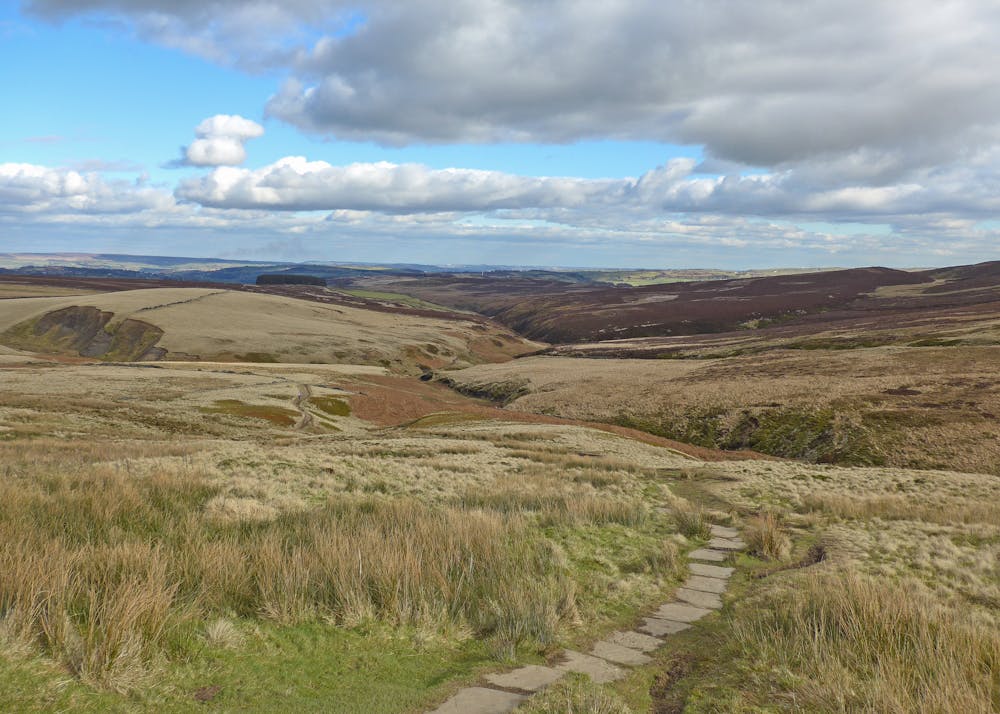
Today takes you through some areas made famous by the Brontë family, and you'll be able to see for yourself the terrain which inspired so much of their literature. A museum dedicated to the family sits in Haworth village (which this route passes close to) and you'll cross the eponymous moor today.
The day starts with a tough climb out of the Calder Valley and if you have navigational issues finding your way through the farmland on the ascent, you wouldn't be the first hiker to go astray!
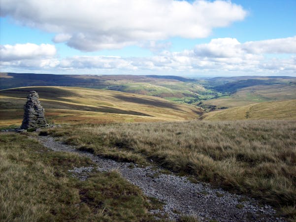
Once the climb is done you've got a relatively straightforward (physically but not navigationally if the weather is bad) journey across Heptonstall, Haworth and Ickornshaw moors, and alongside a series of reservoirs. As with much of the Pennine Way, you could easily get lost on the featureless moors, so keep an eye on FATMAP even in good weather so as to keep heading in the right direction at every junction.
At the point you pass by Ponden reservoir there are some good pubs around, so stopping for a bite to eat is recommended - it's a pleasure not available on many of the Pennine Way days. Some hikers actually stay in Haworth as it's got more amenities than Ickornshaw, but it does rather break up what is an otherwise logical day.
Ickornshaw itself has few options for accommodation but there is a campsite, and Cowling (just up the road) has a couple of hotels. Booking ahead is highly recommended due to the limited supply of hotel rooms.
Difficult
Hiking trails where obstacles such as rocks or roots are prevalent. Some obstacles can require care to step over or around. At times, the trail can be worn and eroded. The grade of the trail is generally quite steep, and can often lead to strenuous hiking.

The trail contains some obstacles such as outcroppings and rock which could cause injury.

Little chance of being seen or helped in case of an accident.
3.1 km away
An enjoyable stroll to 2 Yorkshire landmarks
Moderate Hiking
15 routes · Hiking