5.1 km away
Derwent Reservoir Loop
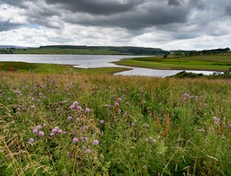
A long and enjoyable stroll around one of England's best known reservoirs
Moderate Hiking
- Distance
- 20 km
- Ascent
- 551 m
- Descent
- 551 m
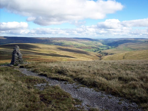
Hope - Mam Tor - Cave Dale
Hiking Moderate

This is a popular hiking route which is generally considered to be moderate. It's not remote, it features medium exposure and is typically done all year round. From a low point of 164 m to the maximum altitude of 514 m, the route covers 14 km, 524 vertical metres of ascent and 524 vertical metres of descent.
Hope - Lose Hill - Back Tor - Hollins Cross - Mam Tor - Winnats Pass - Cave Dale - Castleton - Hope
Moderate
Hiking along trails with some uneven terrain and small hills. Small rocks and roots may be present.

The trail contains some obstacles such as outcroppings and rock which could cause injury.

Close to help in case of emergency.
5.1 km away
A long and enjoyable stroll around one of England's best known reservoirs
Moderate Hiking
5.2 km away
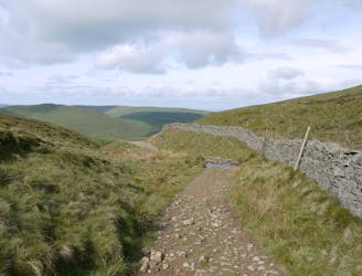
Walking in the footsteps of legends, taking in an iconic plateau and walking part of the Pennine Way.
Moderate Hiking
5.4 km away
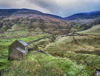
A tough (but scenic) start to a long journey!
Difficult Hiking
15 routes · Hiking