8.5 km away
Derwent Reservoir Loop
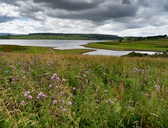
A long and enjoyable stroll around one of England's best known reservoirs
Moderate Hiking
- Distance
- 20 km
- Ascent
- 551 m
- Descent
- 551 m
Stanage Edge/Bamford Edge circular
Hiking Easy

This is a popular hiking route which is generally considered to be easy. It's not remote, it features low exposure and is typically done all year round. From a low point of 238 m to the maximum altitude of 455 m, the route covers 15 km, 410 vertical metres of ascent and 410 vertical metres of descent.
Stanage Edge/Bamford Edge circular
Easy
Walking along a well-kept trail that’s mostly flat. No obstacles are present.

The path is on completely flat land and potential injury is limited to falling over.
Close to help in case of emergency.
8.5 km away
A long and enjoyable stroll around one of England's best known reservoirs
Moderate Hiking