3.7 km away
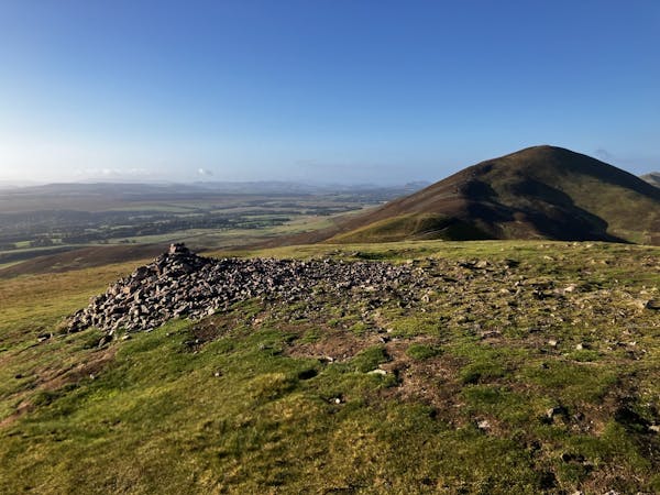
East Cairn Hill (567m) and Mount Maw (534m) circuit, West Linton
Explore the Western Pentlands with a rather boggy, but beautiful ridge walk providing fantastic views!
Moderate Hiking
- Distance
- 14 km
- Ascent
- 553 m
- Descent
- 553 m
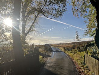
Pass through fields and the tiny village of Carlops, then ascend a grassy glen with groves of pine into heather moorland of the Pentland Hills, and down the other side into boggy farmland.
Also in Midlothian, United Kingdom • Scottish Borders, United Kingdom
Hiking Moderate

This is a popular hiking route which is generally considered to be moderate. It's an unknown remoteness, it features unknown exposure and is typically done in an unknown time of year. From a low point of 158 m to the maximum altitude of 405 m, the route covers 20 km, 315 vertical metres of ascent and 390 vertical metres of descent.
Moderate
Hiking along trails with some uneven terrain and small hills. Small rocks and roots may be present.
3.7 km away
Explore the Western Pentlands with a rather boggy, but beautiful ridge walk providing fantastic views!
Moderate Hiking
3 routes · Hiking