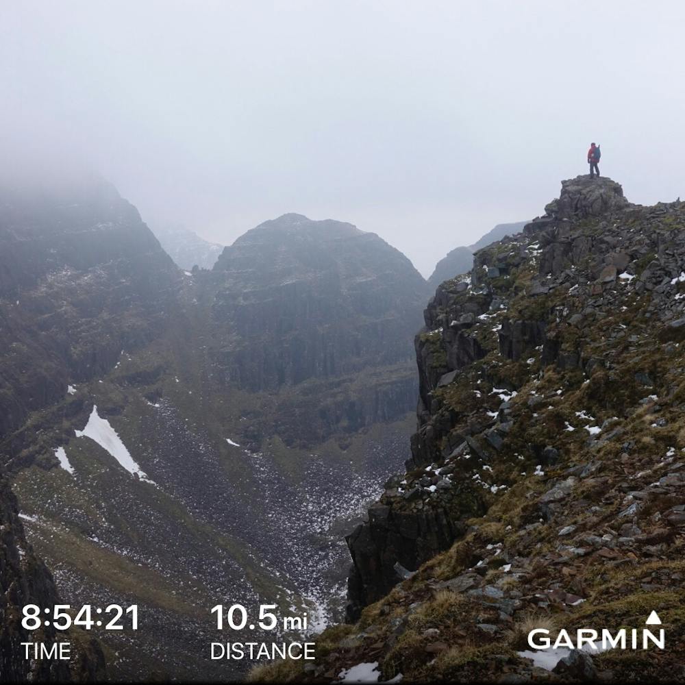
Sgurr a’ Chaorachain and Beinn Bhan
Standard Life Mountain Club
Hiking Extreme
- Distance
- 16 km
- Ascent
- 1.3 km
- Descent
- 1.3 km
- Duration
- 5-6 hrs
- Low Point
- 101 m
- High Point
- 893 m
- Gradient
- 19˚

Majestic and largely undiscovered Applecross mountains with fine views to the islands and peaks of Torridon. Beinn Bhan has dramatic fluted corries on its eastern flanks which look fantastic from the easy walk along the plateau edge giving this route the drama of the Torridon mountains without the exposure or need for scrambling
Difficulty
Extreme
Scrambling up mountains and along technical trails with moderate fall exposure. Handholds are necessary to navigate the trail in its entirety, although they are not necessary at all times. Some obstacles can be very large and difficult to navigate, and the grades can often be near-vertical. The challenge of the trail and the steepness of the grade results in very strenuous hiking. Hikes of this difficulty blur the lines between "hiking" and "climbing".
Extreme Exposure

Some trail sections are extremely exposed where falling will almost certainly result in serious injury or death.
Remoteness

Away from help but easily accessed.
Best time to visit
Features
- Summit Hike