Sgòr Gaoith
Cairngorms National Park
Good quality trails and spectacular views across the Cairngorms on this classic lollipop loop.
Trail Running Moderate
- Distance
- 15 km
- Ascent
- 923 m
- Descent
- 923 m
- Duration
- 2-3 hrs
- Low Point
- 289 m
- High Point
- 1.1 km
- Gradient
- 21˚

This route is best done in an anti-clockwise direction which capitalises on the well laid path for the major ascent, although can be done in either direction.
- •
- •
- •
- •
- •
Description
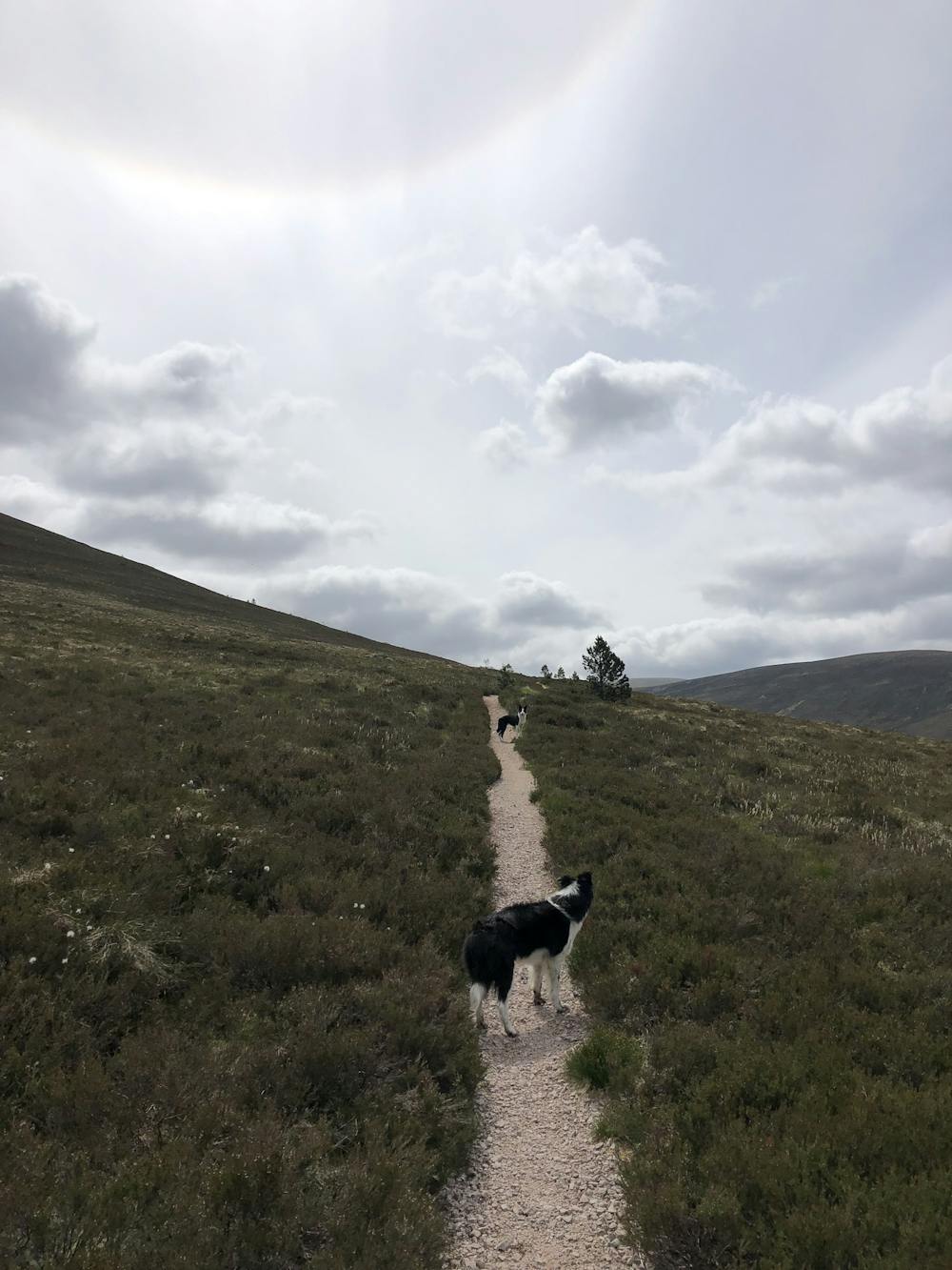
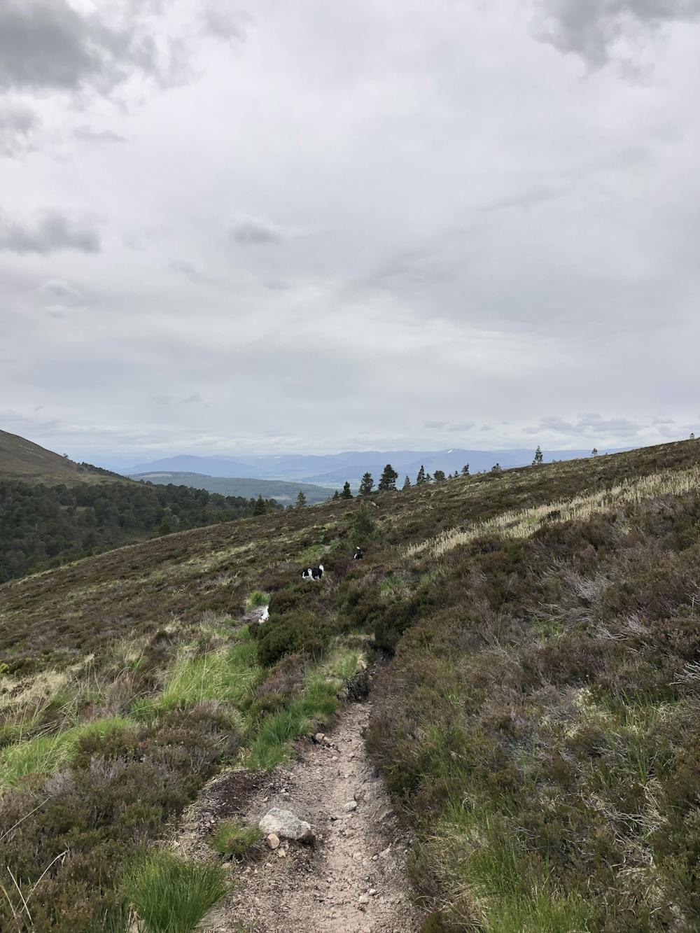
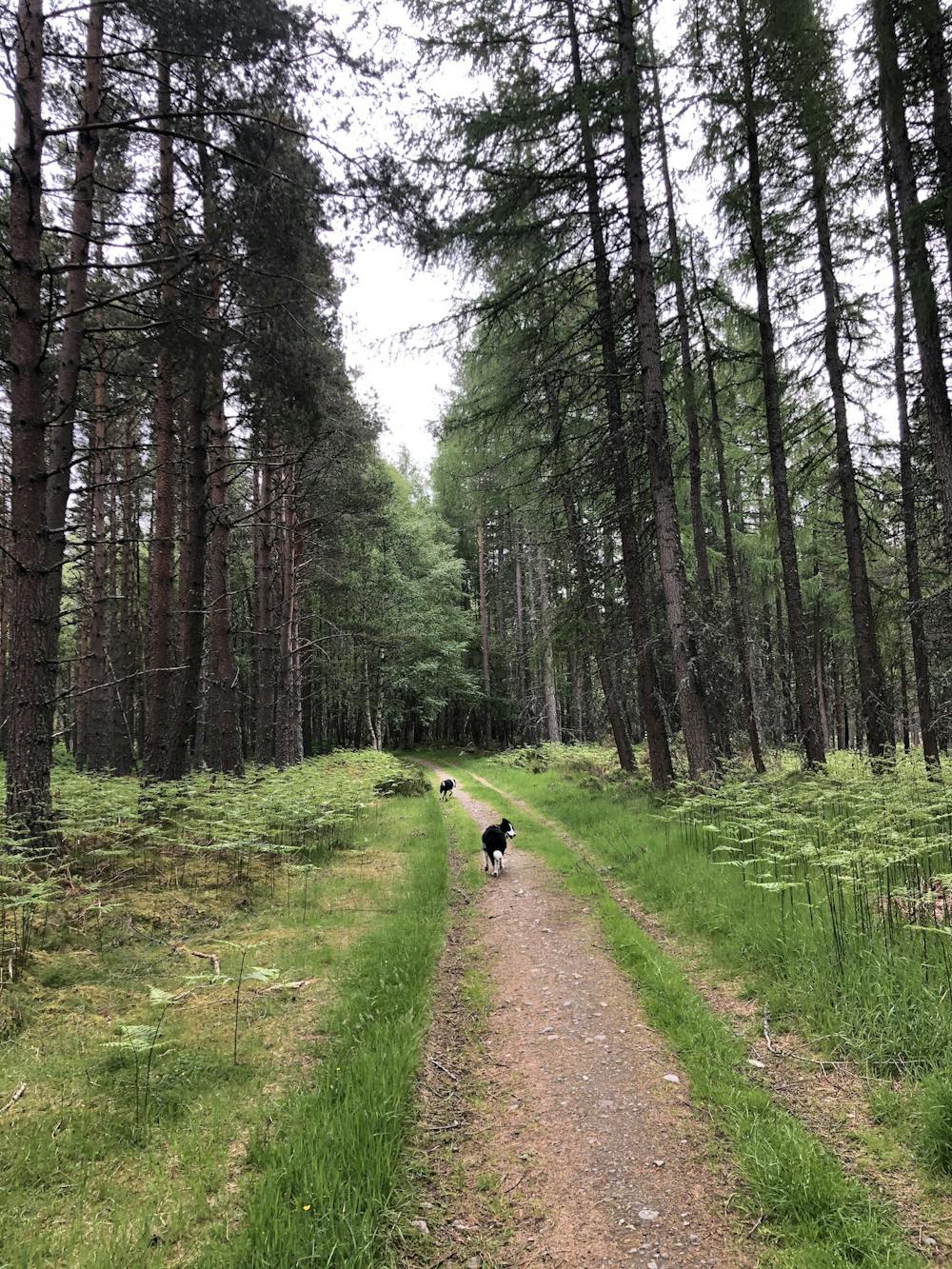
Free parking is available at the Invereshie and Inshriach National Nature Reserve car park. Start on easy double track through the native pine forest before the track branches up to the left becoming narrower and rocky under foot. The trail soon becomes well laid singletrack (although some erosion has occurred in places) and emerges out of the forest onto the blanket bog with views of Carn Ban Mor (1052m) straight ahead. Follow the trail around the lower edges of Sgòr Gaoith with the summit visible up to your left.
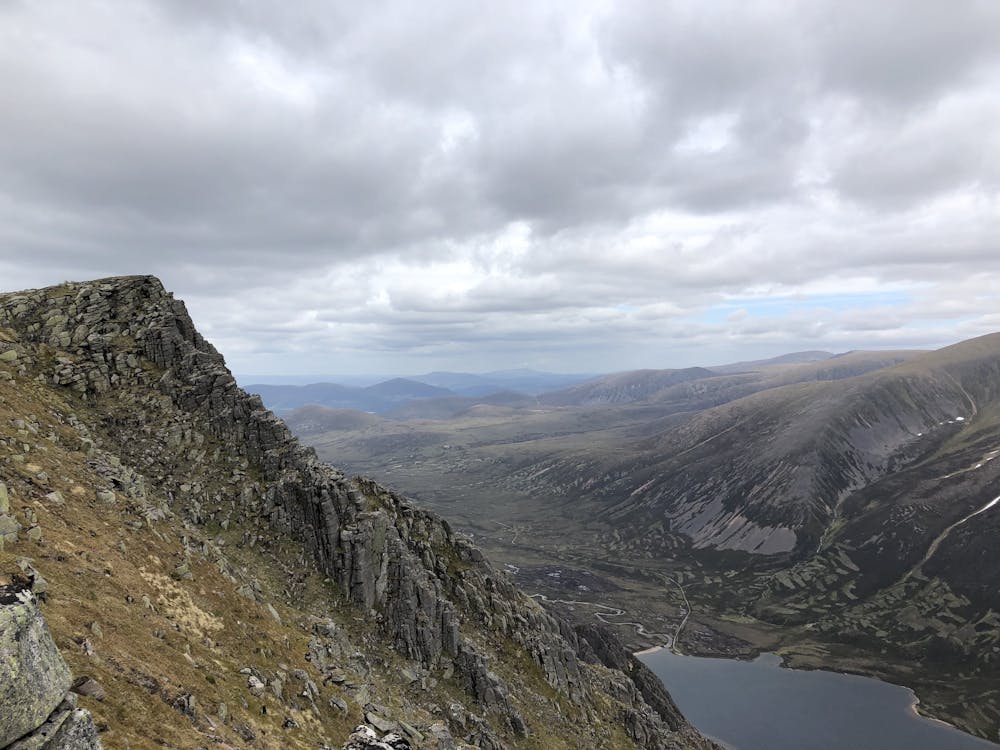
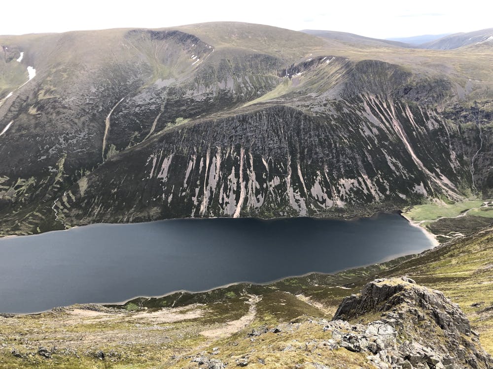
The well laid trail comes to an end by a burn and the route continues on a muddier and steeper path. After periods of rain this section can become quite saturated and heavy going but in dry conditions is very runnable. Higher still the track is rockier and once again becomes faster going. As the path turns in a south easterly direction you look directly towards Carn Ban Mor before reaching the plateau and turning left, continuing onwards to the summit of Sgòr Gaoith. There are spectacular dramatic views to your right over Loch Einich and the Cairngorm 4000’s route Munros.
The summit of Sgòr Gaoith is clearly marked with a rocky outcrop; a good spot to pause and take in the scenery. Dropping off the plateau to your left the track disappears and you just have to pick your way down the hill, although it is easy going and soft under foot, towards Meall Buidhe. Negotiate a small boulder field before continuing onto Geal-charn. Aside from a section of singletrack in a dip between Meall Buidhe and Geal-charn there is no easy-to follow-trail, but on a clear day there is no difficulty navigating. Top Geal-charn at the cairn and descend straight down the mountainside to the west, there is no easy way and at speed this is a quad destroyer, until you re-join the well laid path that you started out on. Turn right on the path and re-trace your steps back to the car park.
There are a number of ways this route can be extended, see other options within the area guidebook.
Difficulty
Moderate
Medium Exposure

The trail contains some obstacles such as outcroppings and rock which could cause injury.
Remoteness
Away from help but easily accessed.