
4 routes · Hiking
Hike the entire stretch of the Via Francigena through England.
Hiking Moderate

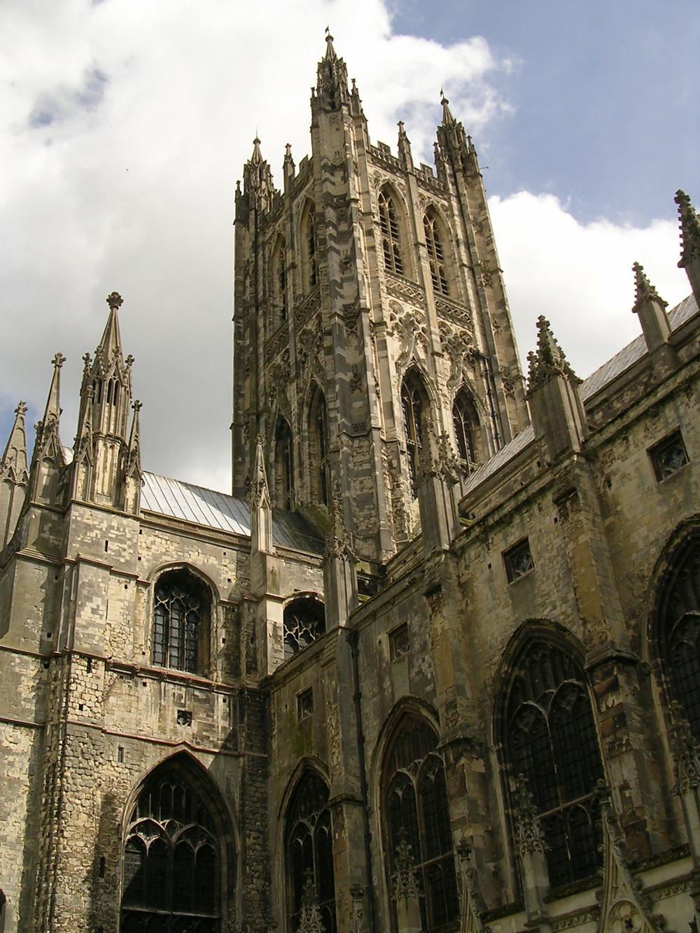
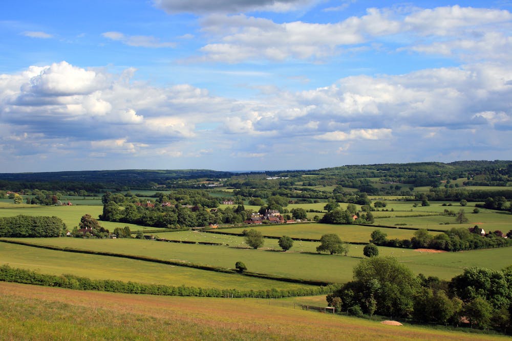
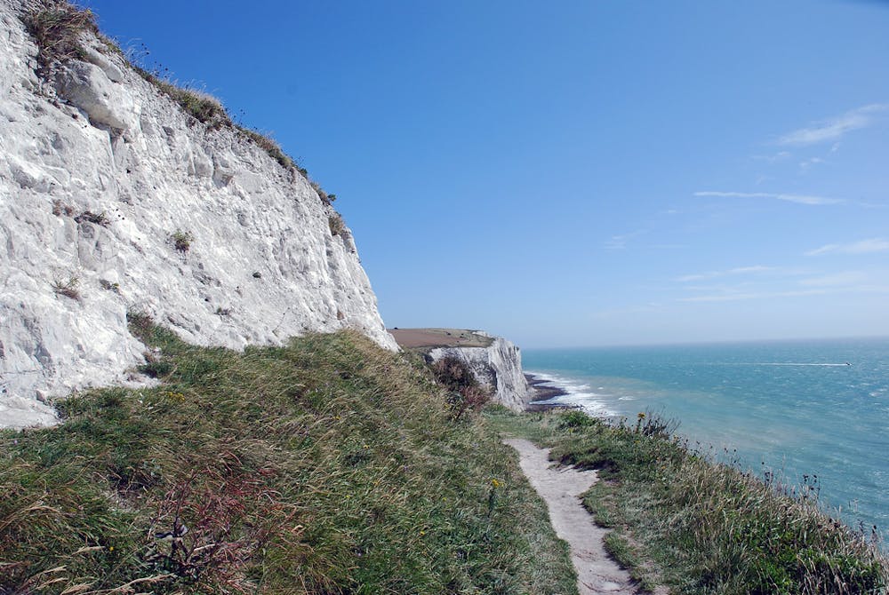
The trail begins at Canterbury Cathedral, which has a history so rich and significant that it is referred to as "England in stone." Back in 597AD, Augustine, the first Archbishop of Canterbury Cathedral, brought Christianity to England, sent from Rome by Pope Gregory the Great. Between then and now, there has been the Magna Carta, William Shakespeare, and World War One, all of which are significant to Canterbury Cathedral's history, which you can find out about in the visitor centre. The trail traces the footsteps of Archbishop Sigerico, the first pilgrim to walk and record the way from Canterbury to Rome in 990 AD. Find the starting point stone next to the south porch of the cathedral, and from there walk along the Pilgrim's Way to St Augustine Abbey. Leave Canterbury via the North Downs Way. You will quickly find yourself fully immersed in the merriest of English countryside — Kent's beautiful rural landscapes have earned it the title "the Garden of England." The North Downs Way will lead you to Shepperwell, a traditional town where you can spend the night to break the journey or carry straight on along the final 14km to Dover. Along the way, you will come across the grand Waldshire Park Estate, Belvedere Tower, and Dover Castle. You follow the North Downs Way all the way from the green rolling hills of Kent right up to the iconic White Cliffs of Dover! If you plan to continue on to the French stretch of the Via Francigena, then you need to take the ferry from Dover East Quays to Calais. Find out more here. Sources https://www.viefrancigene.org/en/resource/statictrack/vfe02-da-shepherdswell-dover/
Moderate
Hiking along trails with some uneven terrain and small hills. Small rocks and roots may be present.

The path is on completely flat land and potential injury is limited to falling over.
Close to help in case of emergency.
4 routes · Hiking