1.6 km away
Rufford plains
A lovely - and remarkably flat - journey alongside rivers and across huge, open plains.
Moderate Hiking
- Distance
- 9.7 km
- Ascent
- 30 m
- Descent
- 30 m
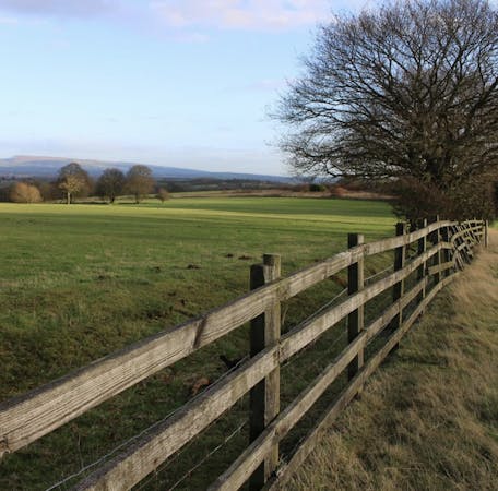
A huge and beautiful series of flat plains
Hiking Moderate

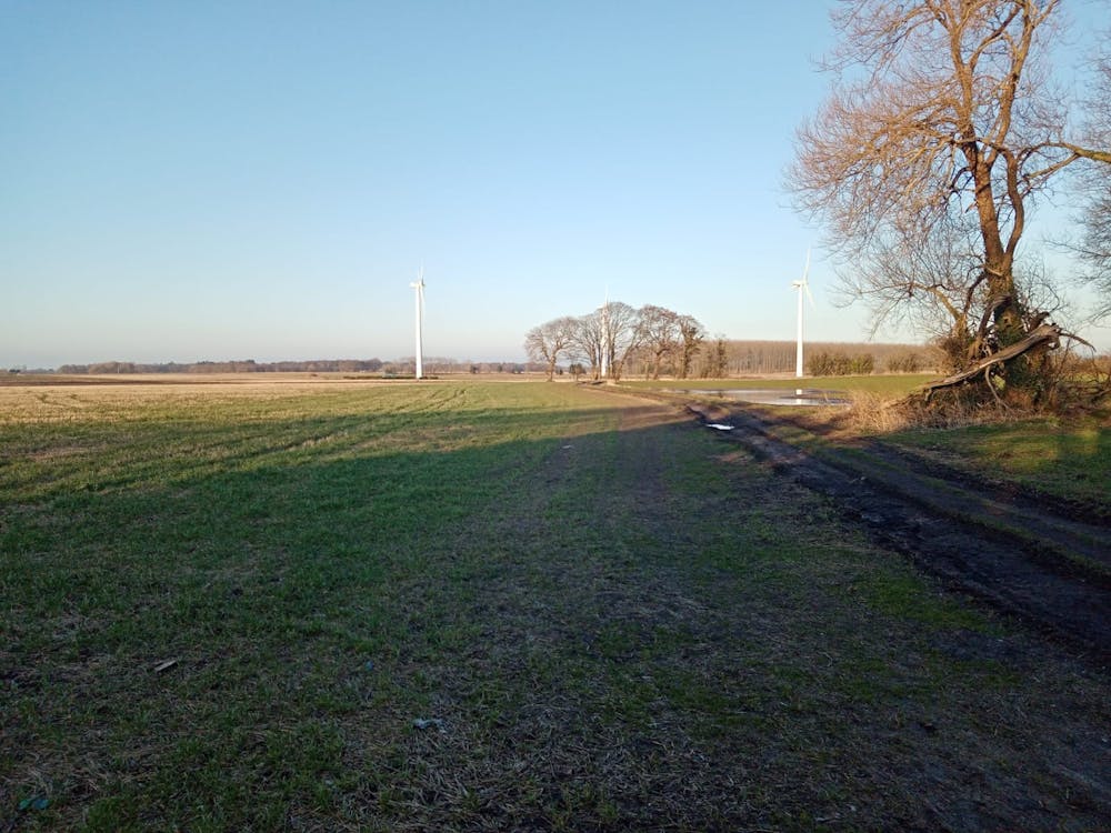
Even in a relatively non-mountainous country like England, completely flat terrain is surprisingly rare, especially in the northern part of the UK. As such, Croston Moss is a special place which enjoys huge, expansive views and a feeling of space which is reminiscent of the American midwest.
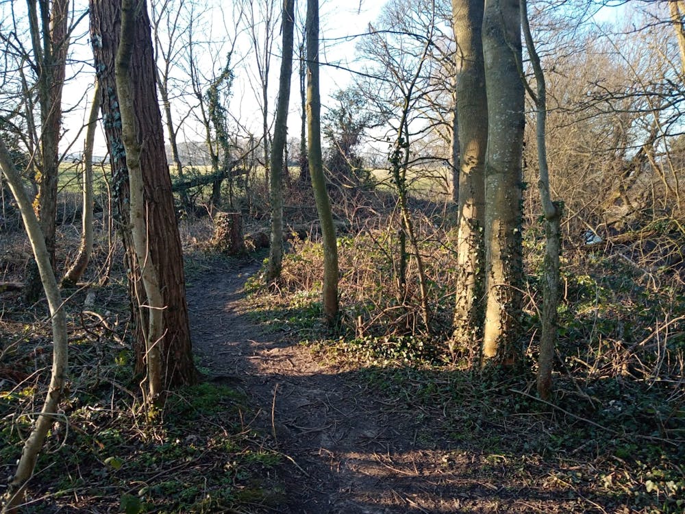
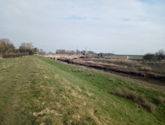
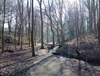
Park up at Mawdesley village hall and then walk southwest past the southern end of the Millenium Green Park to reach Black Moor Road. Turn right and follow this to a small wood where a lovely path branches off right and leads you through trees and onto Croston Moss itself. Walk all the way across the Moss on a rough track from where you can enjoy the excellent views and spacious ambience. Either walk to where we've shown the route turning east, or keep walking all the way across to where the Moss meets a tarmac road (Carr Lane). From Carr Lane you can either retrace your steps back onto the Moss or carry on to the traditional Lancashire village of Croston, which is home to some excellent pubs and a brilliant Fish and Chip shop!
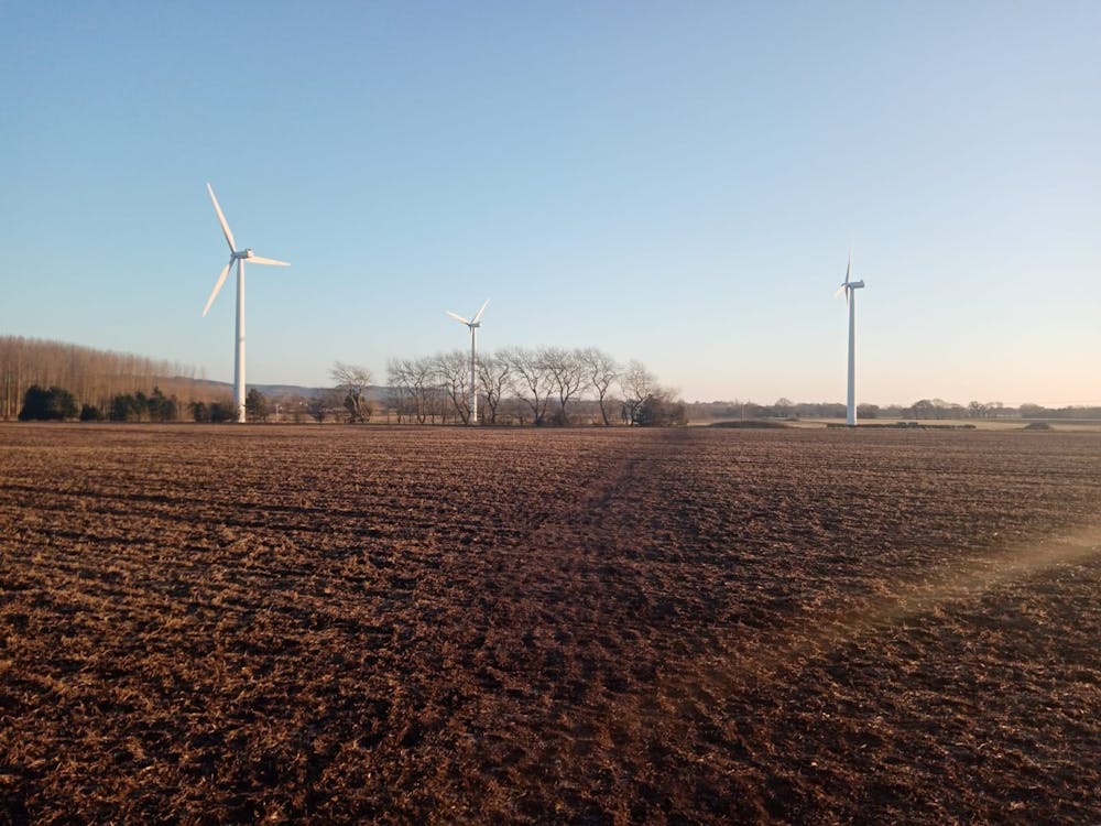
Regardless of how you get to the northern tip of the walk we've drawn here, head east and then south across a good path to pass beneath the 3 wind turbines which were put on the Moss in the late 2000's. Opinion is divided on the aesthetic merits of the turbines but there's no doubt that they're impressive - and somewhat intimidating - close up.
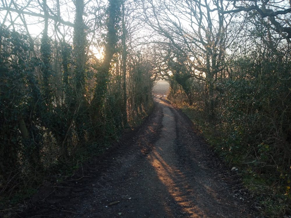
Keep heading south once past them and then follow the path as it swings southeast to a cluster of houses. Pass through the houses and then follow - in this order - a road, a small path and then a jeep track back to Black Moor Road. Turn left and stroll back to the village hall before relocating to one of Mawdesley's pubs!
Moderate
Hiking along trails with some uneven terrain and small hills. Small rocks and roots may be present.

The path is on completely flat land and potential injury is limited to falling over.

Away from help but easily accessed.
1.6 km away
A lovely - and remarkably flat - journey alongside rivers and across huge, open plains.
Moderate Hiking
3.6 km away
A bucolic stroll through some lovely fields and past some fascinating ruins.
Moderate Hiking
4.3 km away
As easy as hiking gets, this is a peaceful stroll along a famous stretch of water.
Easy Hiking
4.6 km away
Link 2 of West Lancashire's landmark hills and cross the Leeds-Liverpool Canal.
Moderate Hiking
4.8 km away
An enchanting walk through enchanted woods!
Moderate Hiking
7 routes · Hiking