8.6 km away
Great Hill Loop
A varied trip through quiet forests and across barren moorland.
Difficult Hiking
- Distance
- 16 km
- Ascent
- 326 m
- Descent
- 326 m
Hike to the top of 2 Lancashire landmarks!
Hiking Moderate

With a history dating back to the 11th century, Rivington Pike has been a landmark for longer than most hiking destinations! The tower on the summit is a relatively modern addition, having been constructed a mere 300 years ago (!) in 1733, and it has been a popular viewpoint for most of the intervening years.
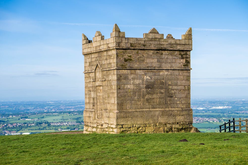
Winter Hill itself (upon which Rivington Pike sits) is one of the most prominent landmarks in Lancashire, thanks to the huge TV mast which sits on its summit. Like the Pike it has a long and storied history, and evidence of activity on the peak dating back to the Roman times has been discovered by local archaeologists.
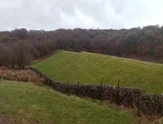
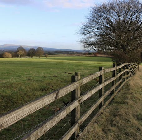
The area around Rivington Pike and Winter Hill is a maze of paths so picking whichever looks most appealing is the best way of exploring, but follow our line if you want to see the best of the terrain without having to worry too much about creating an itinerary.
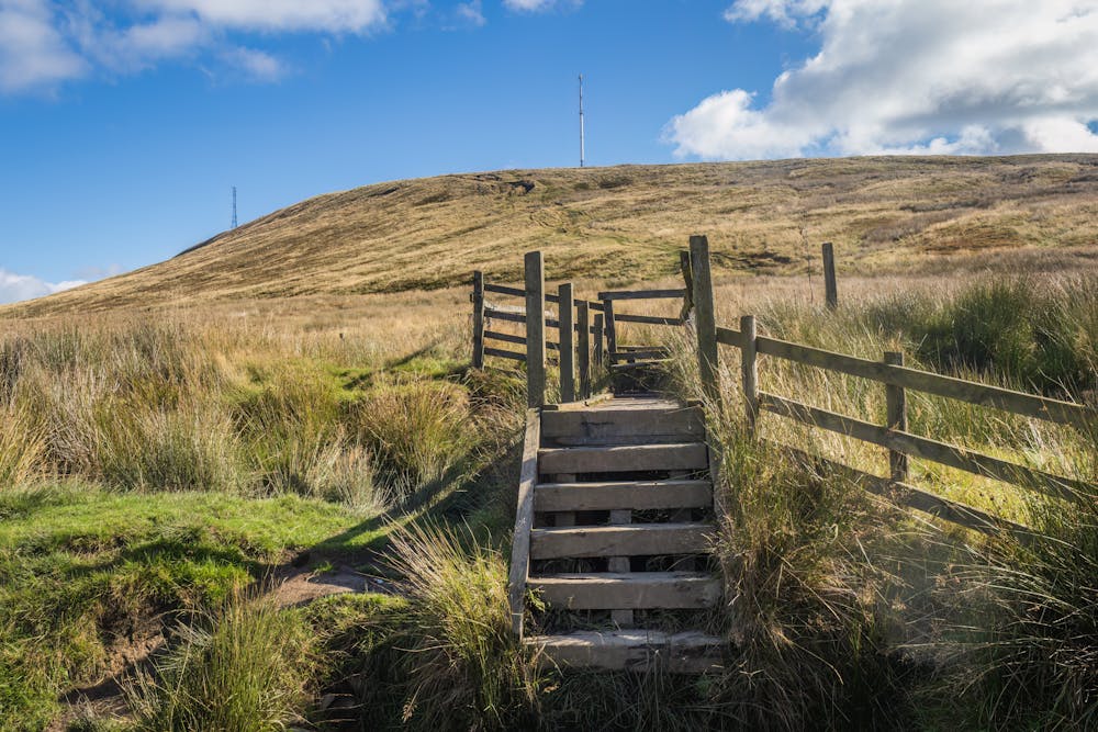
The hike begins at the Rivington Reservoir parking and leads up onto the Pike and then across barren and windswept moorland to Winter Hill. The trip up to the Pike is steep in places, whereas the journey over to Winter Hill is relatively easy, but invariably windy. If you find yourself up here in t-shirt weather, consider yourself extremely lucky! The views across Greater Manchester and over towards the Peak District are beautiful, and the moors feel remote and strangely intimidating despite their proximity to England's 2nd largest city. As well as being wild, the moors are also featureless, so be prepared for some navigation on all but those rare sunny days!
From Winter Hill it's recommended to descend down to Noon Hill (which is - honestly - barely a summit and merely a large cairn) and then on to Rivington Gardens. Explore these and then stroll back to the carpark for a tea and cake!
Moderate
Hiking along trails with some uneven terrain and small hills. Small rocks and roots may be present.

The path is on completely flat land and potential injury is limited to falling over.

Away from help but easily accessed.
8.6 km away
A varied trip through quiet forests and across barren moorland.
Difficult Hiking
7 routes · Hiking