Tomintoul to Ben Avon
Cairngorms National Park
A long but valuable day
Ski Touring Difficult
- Distance
- 44 km
- Ascent
- 1.8 km
- Descent
- 1.8 km
- Duration
- 1 day +
- Low Point
- 307 m
- High Point
- 1.2 km
- Gradient
- 16˚
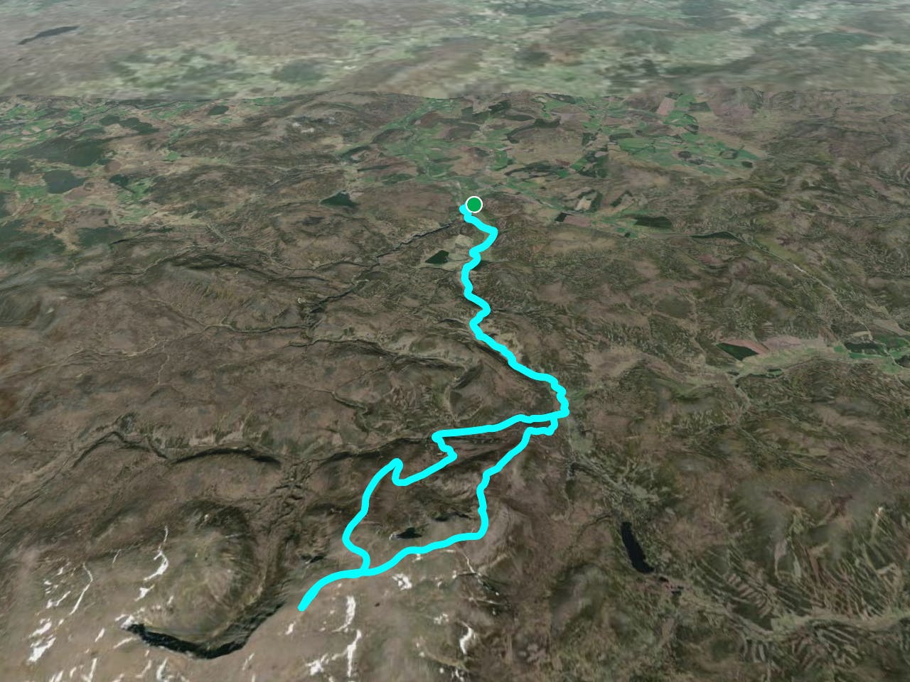
This is a popular ski touring route which is generally considered to be difficult. It's extremely remote, it features medium exposure (e2) and is typically done between March and May. From a low point of 307 m to the maximum altitude of 1.2 km, the route covers 44 km, 1842 vertical metres of ascent and 1842 vertical metres of descent. You'll need skins and crampons to complete it safely.
Description
Long but rewarding day, great cycle/ski day
Difficulty
Difficult
Serious gradient of 30-38 degrees where a real risk of slipping exists.
Medium Exposure (E2)

As well as the slope itself, there are some obstacles (such as rock outcrops) which could aggravate injury.
Remoteness

In the high mountains or remote conditions, all individuals must be completely autonomous in every situation.
Best time to visit
Features
- Ski Mountaineering
Equipment required
- Skins
- Crampons