Foel Drygarn to Newport
Pembrokeshire Coast National Park
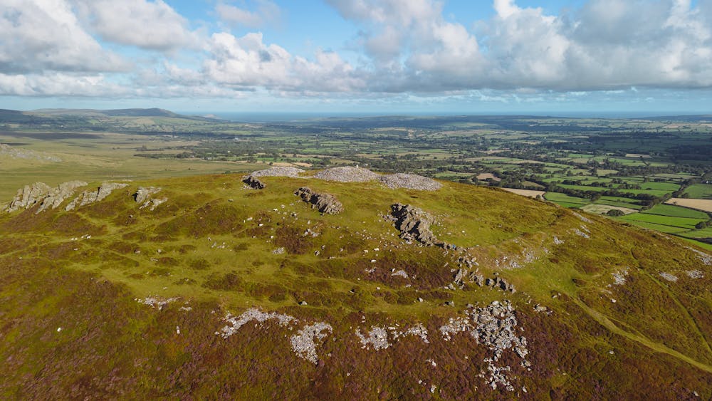
Preseli Hills and Carningli
Hiking Moderate
- Distance
- 22 km
- Ascent
- 699 m
- Descent
- 919 m
- Duration
- 5-6 hrs
- Low Point
- 32 m
- High Point
- 464 m
- Gradient
- 9˚

This is a popular hiking route which is generally considered to be moderate. It's remote, it features medium exposure and is typically done between April and September. From a low point of 32 m to the maximum altitude of 464 m, the route covers 22 km, 699 vertical metres of ascent and 919 vertical metres of descent.
Description
The Golden Road and Gwaun Valley Walk
Difficulty
Moderate
Hiking along trails with some uneven terrain and small hills. Small rocks and roots may be present.
Medium Exposure

The trail contains some obstacles such as outcroppings and rock which could cause injury.
Remoteness
Away from help but easily accessed.
Best time to visit
Features
- Wildlife
- Historical
- Picturesque
- Wild flowers