The Long Mynd, Carding Mill Valley and Ragleth Hill
A fabulous loop over some of Shropshire's finest hills.
Hiking Difficult
- Distance
- 17 km
- Ascent
- 641 m
- Descent
- 642 m
- Duration
- 4-5 hrs
- Low Point
- 180 m
- High Point
- 517 m
- Gradient
- 13˚

After driving through the relatively flat terrain of northern Shropshire, the sudden appearance of the hills above Church Stretton can come as something of a shock, albeit a pleasant one! The hiking in the hills is as good as it looks and this wonderful loop will allow you to see the best of the region by traversing both the Long Mynd - the hills immediately to the west of Church Strettion - and Ragleth Hill; the peak which looms over the eastern side of the town.
- •
- •
- •
- •
- •
- •
- •
- •
- •
- •
- •
Description
We've drawn the line starting and finishing at Church Stretton railway station - reachable from towns to both the north and south - but it's also perfectly possible to drive to the town instead of catching the train.
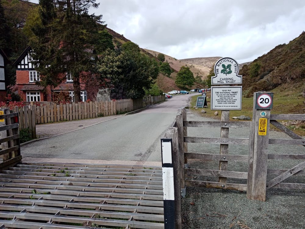
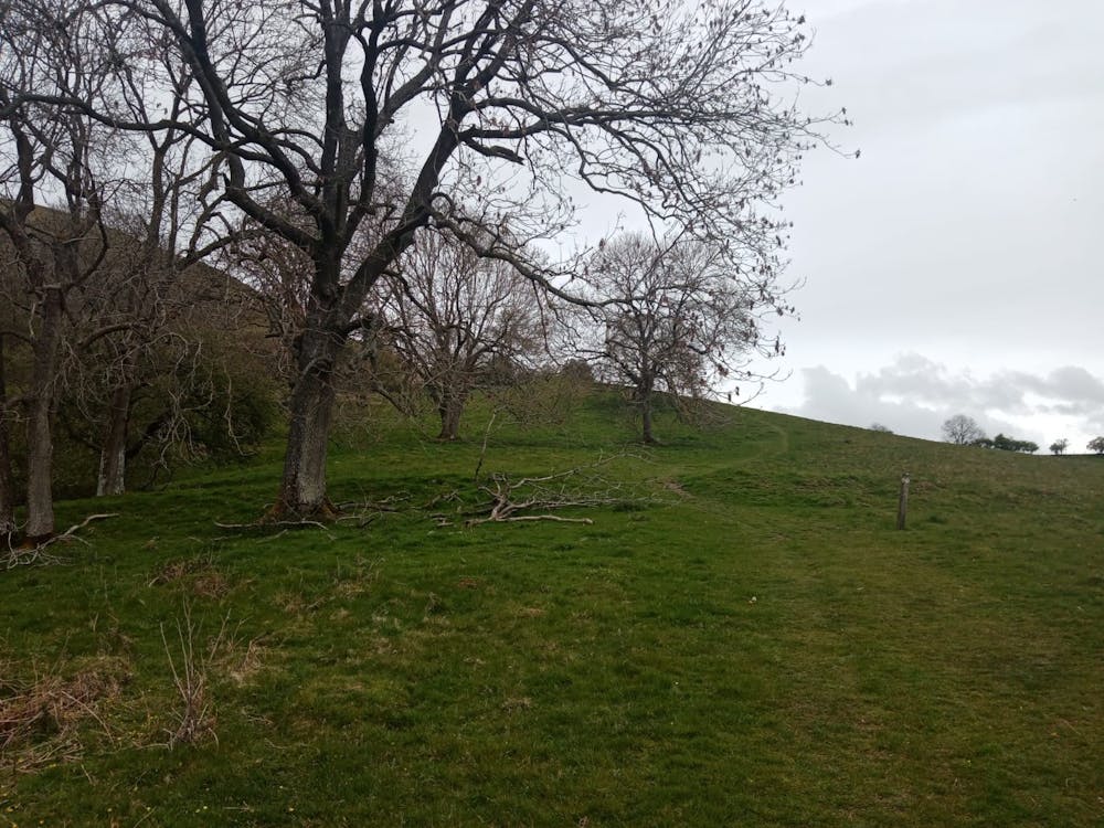
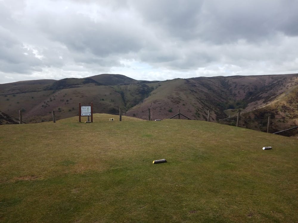
Start by making your way up the road towards the Carding Mill Valley Parking Area (which is run by the National Trust; NT members park for free, non-members pay £5.00 per day) but shortly before arriving there, turn right and get onto a grassy path which leads up towards Bodbury Hill. The path goes around Bodbury Hill and then leads you up to the 14th tee at Church Stretton Golf Club - a strong contender for England's most scenic tee!
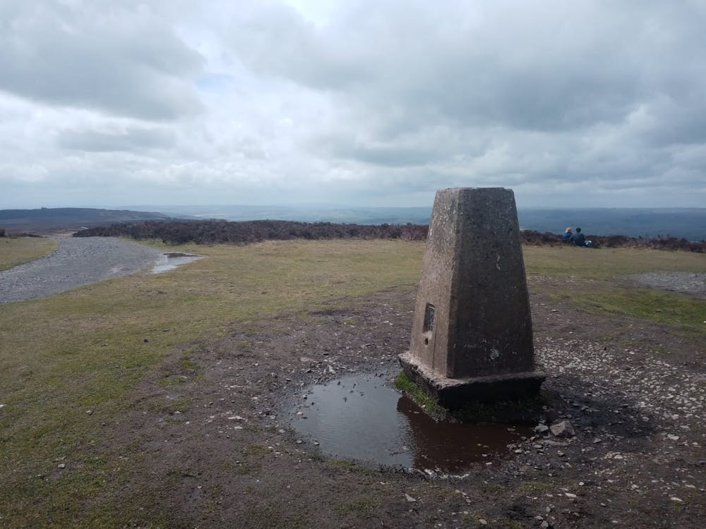
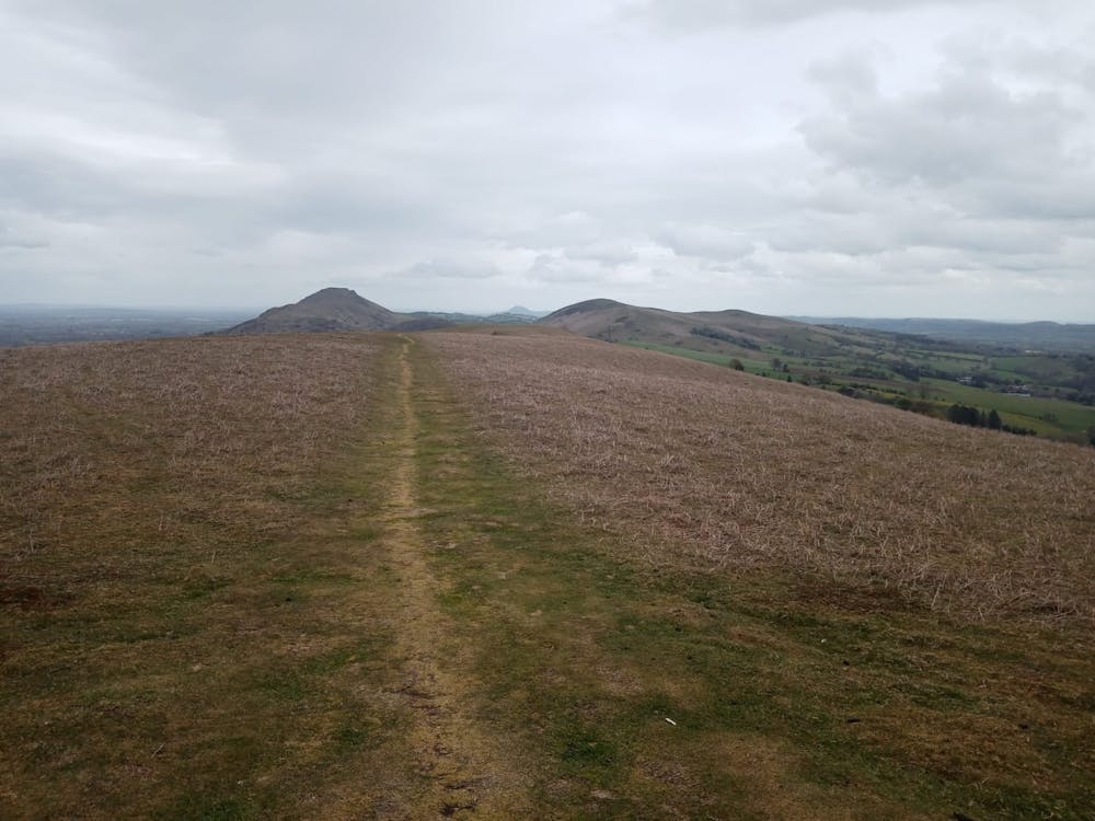
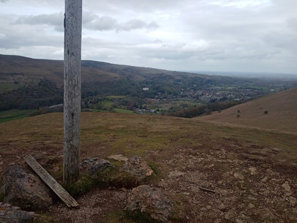
Carry on climbing to Haddon Hill and then continue north-west to a large gravel path which traverses across the top of the Long Mynd. Follow the path as it climbs across barren moorland to the summit of Pole Bank; the highest point on this hike and the whole of the Long Mynd. There can't be many finer viewpoints in Central England than the top of Pole Bank, so drink it in and spend some time getting your bearings.
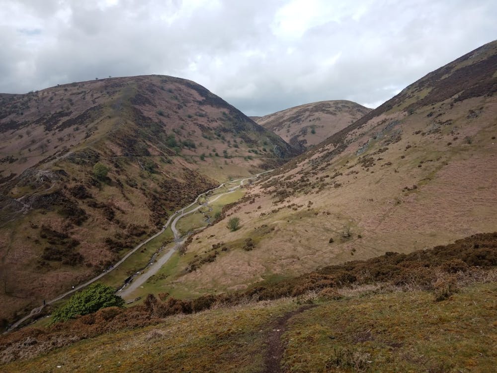
Follow the path off the far side of Pole Bank to reach a tarmac road and follow this almost to the Long Mynd Gliding Club. Just before reaching the Gliding Club turn left and follow a wide, grassy path over Minton Hill and down into the tiny farming village of Minton.
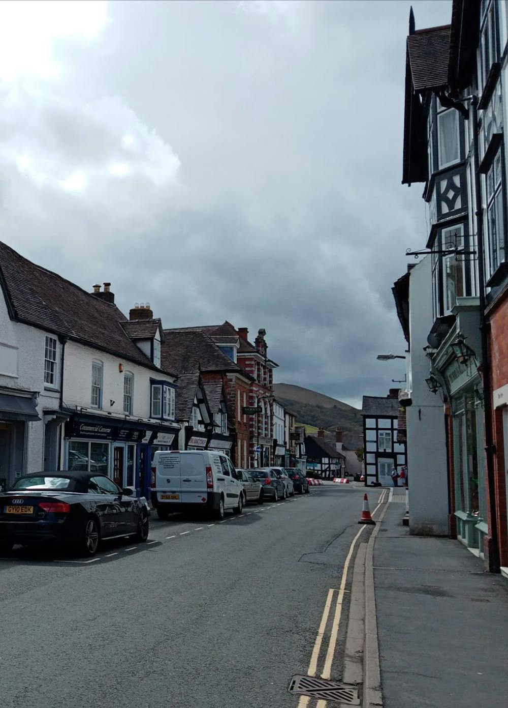
Pass through Minton and follow a road which leads down towards Little Stretton. Traverse the village and turn right upon reaching the A49 - a noisy and busy road which feels quite unpleasant after so long in wonderful scenery!
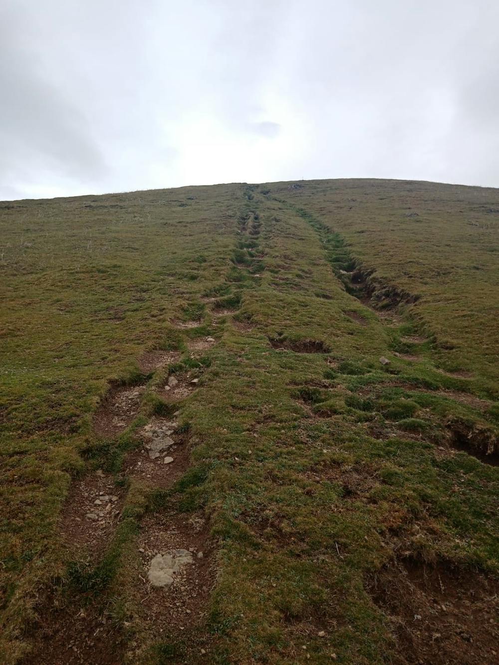
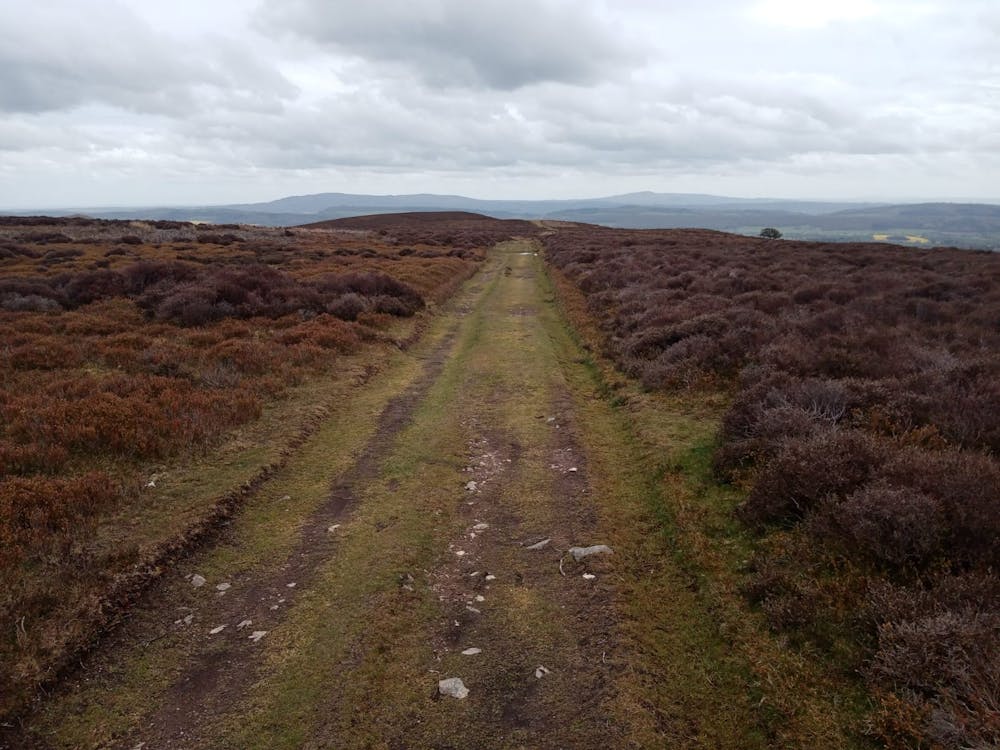
Walk along the A49 for 100 metres then turn left and begin the short but - at times - very steep grind on the summit of Ragleth Hill. The view from the top is utterly fabulous, doubly so because it's virtually all downhill from here!
Enjoy the famous traverse along Ragleth Hill's broad summit ridge and then drop down through some lovely forested trails to the outskirts of Church Stretton. Upon reaching them, stroll into town for a celebratory drink!
Difficulty
Difficult
Hiking trails where obstacles such as rocks or roots are prevalent. Some obstacles can require care to step over or around. At times, the trail can be worn and eroded. The grade of the trail is generally quite steep, and can often lead to strenuous hiking.
Medium Exposure

The trail contains some obstacles such as outcroppings and rock which could cause injury.
Remoteness
Away from help but easily accessed.
Best time to visit
Features
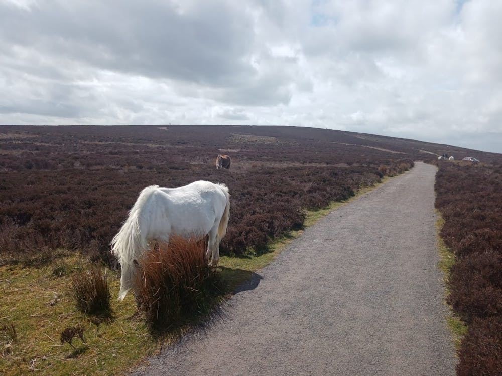
- Wildlife
- Picturesque
- Summit Hike
- Dog friendly
- Wild flowers