
101 m away
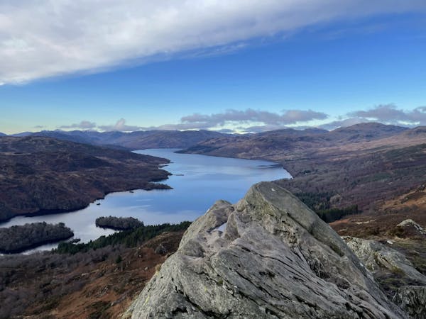
Conic Hill
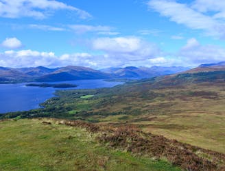
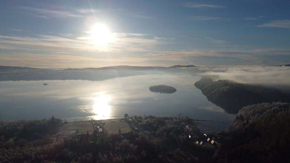
One of the most popular day hikes from Glasgow provides fabulous views over Loch Lomond
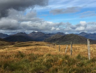
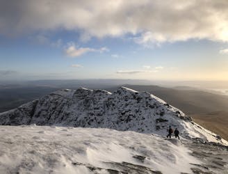
Difficult Hiking
- Distance
- 10 km
- Ascent
- 412 m
- Descent
- 412 m
a wee hike up conic hill on a very chilly day
Hiking Easy

This is a popular hiking route which is generally considered to be easy. It's not remote, it features low exposure and is typically done all year round. From a low point of 20 m to the maximum altitude of 339 m, the route covers 3.9 km, 327 vertical metres of ascent and 327 vertical metres of descent.
an easy walk with a nice lunch stop for when your back down
Easy
Walking along a well-kept trail that’s mostly flat. No obstacles are present.

The path is on completely flat land and potential injury is limited to falling over.
Close to help in case of emergency.
101 m away
One of the most popular day hikes from Glasgow provides fabulous views over Loch Lomond
Difficult Hiking
6.5 km away
A pleasant 'wee' day out, but still packs a punch with the view!
Moderate Hiking
9.7 km away
A short but famous stroll to a historical landmark
Moderate Hiking
9.8 km away
Fantastic views of Loch Lomond and beyond!
Difficult Hiking
12 routes · Hiking