5.9 km away
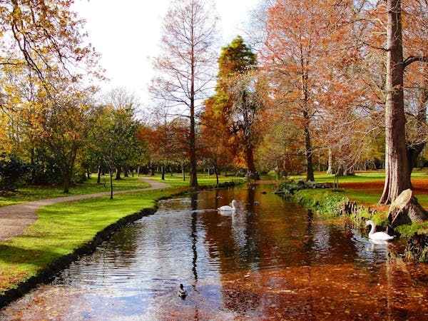
Hackney and Walthamstow Marshes Walk
Stroll around one of London's best known natural landmarks
Easy Hiking
- Distance
- 8.8 km
- Ascent
- 15 m
- Descent
- 15 m
An amazingly varied journey through one of London's finest districts
Hiking Easy

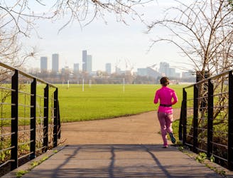
A remarkable mix of modern glass towers, famous historical sites and a charming little farm, this is one of the finest and most varied city hikes anywhere on the planet. The Isle of Dogs is one of the most interesting parts of London to explore, and this hike leads you through the best of it. The loop we've drawn can be started and finished anywhere along its length and there are also countless variations and detours which could be added to it.
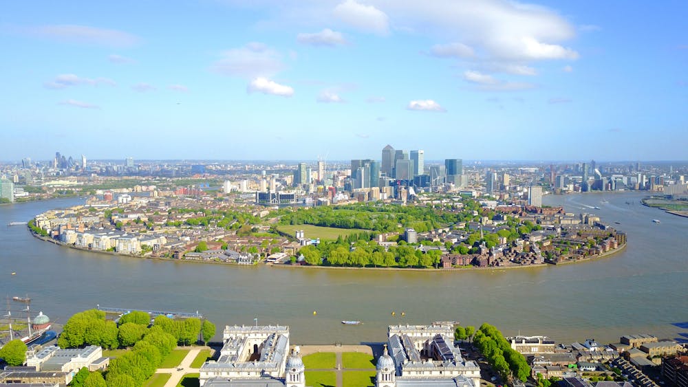
We've shown the line starting from South Quay station on the DLR line, and from there it's an easy stroll beneath the modern towers of Canary Wharf to the north-east corner of the Isle of Dogs, from where you'll have an excellent view of the famous O2 Arena (formerly known as the somewhat-controversial Millennium Dome). Follow the riverside path as it winds south past Kelson Beach and Newcastle Draw Dock down to Island Gardens. Wave goodbye - temporarily - to the Thames and then head north to Mudchute farm.
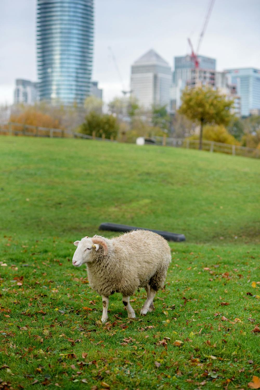
The farm is quite extraordinary and a visit there grants you the unusual sight of sheep happily grazing open fields with huge, towering glass buildings behind. The middle park of the farm is amazingly peaceful, and at times you'll barely be able to tell that you're in one of the world's most famous cities.
Leave the tranquility of the farm behind and return to the city and then cross the Glengall Bridge and head due west to rejoin the Thames at the Sir John McDougall Gardens. Wander north along the river and then either cut back onto the northern section of the Isle of Dogs to get back to South Quay (which is the option drawn here) or continue strolling along the north bank of the river to whatever takes your interest!
Easy
Walking along a well-kept trail that’s mostly flat. No obstacles are present.

The path is on completely flat land and potential injury is limited to falling over.
Close to help in case of emergency.
5.9 km away
Stroll around one of London's best known natural landmarks
Easy Hiking
8.7 km away
A 4-mile trail with many different chapters: ramble through ancient woodlands, stroll along Victorian railroad tracks, and wander around grand palace gardens.
Easy Hiking
5 routes · Hiking