5 routes · Hiking
A 53-mile route following the River Lea from its source at Leagrave all the way into the heart of London.
Also in Barnet, United Kingdom • Hackney, United Kingdom • Haringey, United Kingdom • Hertfordshire, United Kingdom • Islington, United Kingdom • Luton, United Kingdom
Hiking Moderate

Discover London’s industrial history with the Lea Valley Walk, a 53-mile long-distance footpath tracing the River Lea from its source in Leagrave, to where it joins the Thames, finishing at Limehouse Basin in East London.
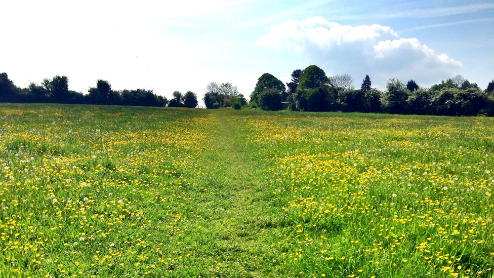

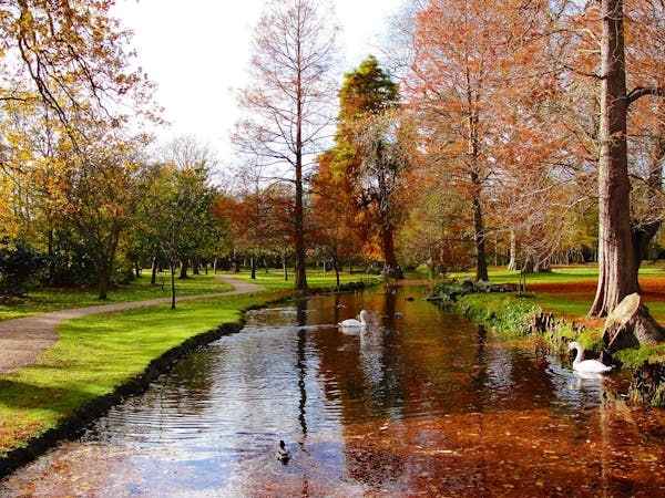
The route takes you through a blend of quiet countryside, historical towns and villages, stately homes and castles, nature reserves, and urban landscapes. It’s a fascinating journey into London’s past. Ambling along peaceful towpaths that were once busy with horses hauling barges, you feel the history of the place at every turn—from the monks of Waltham Abbey changing the course of the river, through the Industrial Revolution, to post-war industrialisation, and the 2012 London Olympics regeneration.
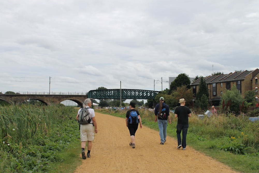
Follow the swan logo signage all the way from Luton, through Harpenden, Wheathampstead, Welwyn, Hatfield, Hertford, Ware, Hoddesdon, Cheshunt and Waltham Abbey. In the Greater London section, you’ll go through the Boroughs of Enfield, Hackney, Haringey, Newham, Tower Hamlets, and Waltham Forest.
The trail can be broken into shorter, more manageable stages, that can be enjoyed in a leisurely afternoon—the nearby railway runs parallel to the river, so it’s easy to join or leave the walk at different points. The 15.6-mile London part of the route is split into six sections:
1: Waltham Abbey to Ponders End 2: Ponders End to Tottenham Hale 3: Tottenham Hale to Lea Bridge 4: Lea Bridge to Three Mills 5: Three Mills to Limehouse Basin 6: Three Mills to East India Dock.
Each section has its own character, so choose the one that's most interesting and convenient for you!
For more information, go to: https://tfl.gov.uk/modes/walking/lea-valley https://www.walkingenglishman.com/ldp/leavalleywalk.html
Moderate
Hiking along trails with some uneven terrain and small hills. Small rocks and roots may be present.

The path is on completely flat land and potential injury is limited to falling over.
Close to help in case of emergency.
5 routes · Hiking