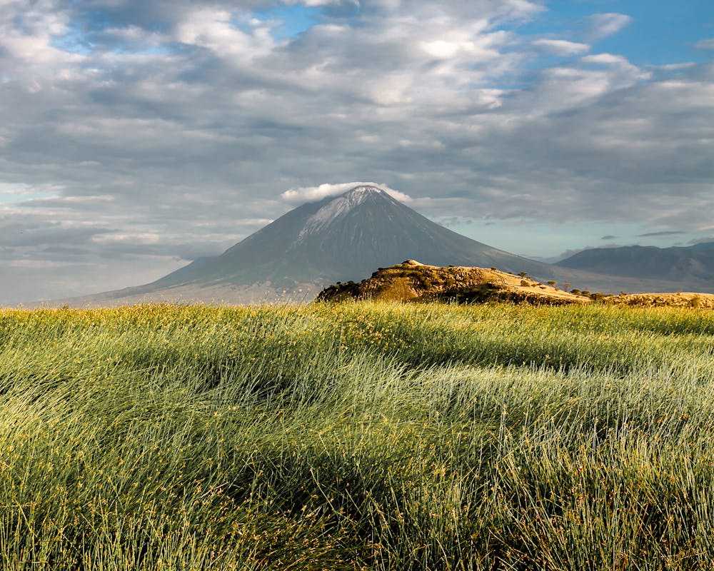
Ol Doinyo Lengai
Active volcano, The mountain of God.
Hiking Extreme
- Distance
- 10 km
- Ascent
- 1.7 km
- Descent
- 1.7 km
- Duration
- 1 day +
- Low Point
- 1.2 km
- High Point
- 2.8 km
- Gradient
- 33˚

This is a popular hiking route which is generally considered to be extreme. It's very remote, it features high exposure and is typically done all year round. From a low point of 1.2 km to the maximum altitude of 2.8 km, the route covers 10 km, 1702 vertical metres of ascent and 1697 vertical metres of descent.
Description
This is a tough hike but you get rewarded by fantastic views of Mt Meru, Kilimanjaro and Lake Natron from the summit. The track is very steep, up to 45 degrees the last bit. Scrambling required and gloves are highly recommended.
Difficulty
Extreme
Scrambling up mountains and along technical trails with moderate fall exposure. Handholds are necessary to navigate the trail in its entirety, although they are not necessary at all times. Some obstacles can be very large and difficult to navigate, and the grades can often be near-vertical. The challenge of the trail and the steepness of the grade results in very strenuous hiking. Hikes of this difficulty blur the lines between "hiking" and "climbing".
High Exposure

Some trail sections have exposed ledges or steep ascents/descents where falling could cause serious injury.
Remoteness
Little chance of being seen or helped in case of an accident.
Best time to visit
Features
- Picturesque
- Summit Hike