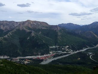
Rock Creek Loop
A popular hike linking the visitor center and sled dog kennels, with some great views along the way.
Moderate Hiking
- Distance
- 7.2 km
- Ascent
- 297 m
- Descent
- 297 m
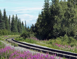
A historic path linking the Visitor Center and Riley Creek Campground.
Hiking Easy

The McKinley Station Trail is a historical interpretive pathway connecting the Visitor Center to Riley Creek Campground. "Highlights include historic building remains, geological features, the railroad trestle, and Riley Creek," according to the park. Though there is some slight elevation gain, the entire trail is crushed gravel, making it one of the easiest hikes in Denali when paired with the Bike Path, seen here.
For history buffs, this loop offers a "journey back to a time when a raucous and vibrant community of gold prospectors, trappers, hunters, and pioneer rangers" occupied the area. Through the early 1900s, these settlers built a community complete with a ranch, roadhouse, and even a hotel, according to the NPS. "The park's first ranger, Harry Karstens however, arrived in early summer 1921, and began the pioneering work establishing the rule and law in the new park."
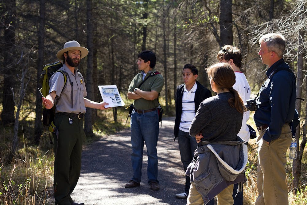
Water and restrooms are available at both the visitor center and campground, but not along the trail. Ranger Led Hikes are another option to enjoy this area, with tours departing the visitor center daily from June 1st until September 12th.
For more information on the historic station, check out this trail guide published by the National Park.
Easy
Walking along a well-kept trail that’s mostly flat. No obstacles are present.

The path is on completely flat land and potential injury is limited to falling over.
Close to help in case of emergency.
A popular hike linking the visitor center and sled dog kennels, with some great views along the way.
Moderate Hiking
0 m away
A long day hike or overnight trek offering wild views and remote campsites.
Difficult Hiking
74 m away
Widely regarded as the best hike in Denali National Park!
Difficult Hiking
632 m away
A family-friendly hike around Horseshoe Lake with opportunity to view wildlife, specifically moose and beaver.
Easy Hiking

25 routes · Alpine Climbing · Hiking
8 routes · Hiking

63 routes · Alpine Climbing · Hiking