207 m away
Point Gustavus

One of Glacier Bay's lesser-known day hikes to an impressive overlook of the bay.
Moderate Hiking
- Distance
- 20 km
- Ascent
- 270 m
- Descent
- 270 m
An easy bayside stroll with several exhibits highlighting native culture and wildlife.
Hiking Easy

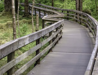
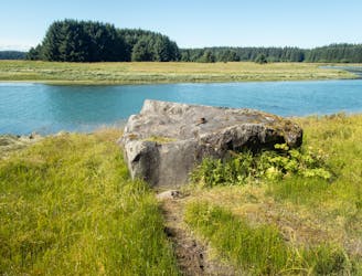
The Tlingit Trail is much more than it may appear at first glance. Just over one mile each way, this easy stroll connects the public boat dock and visitor center and offers opportunities to "see a traditional Tlingit canoe, gaze at a complete whale skeleton, learn about common native plants and experience Tlingit culture and art at the Huna Tribal House," the park notes. If you just arrived at Glacier Bay, the Tlingit Trail is the first trail to explore.
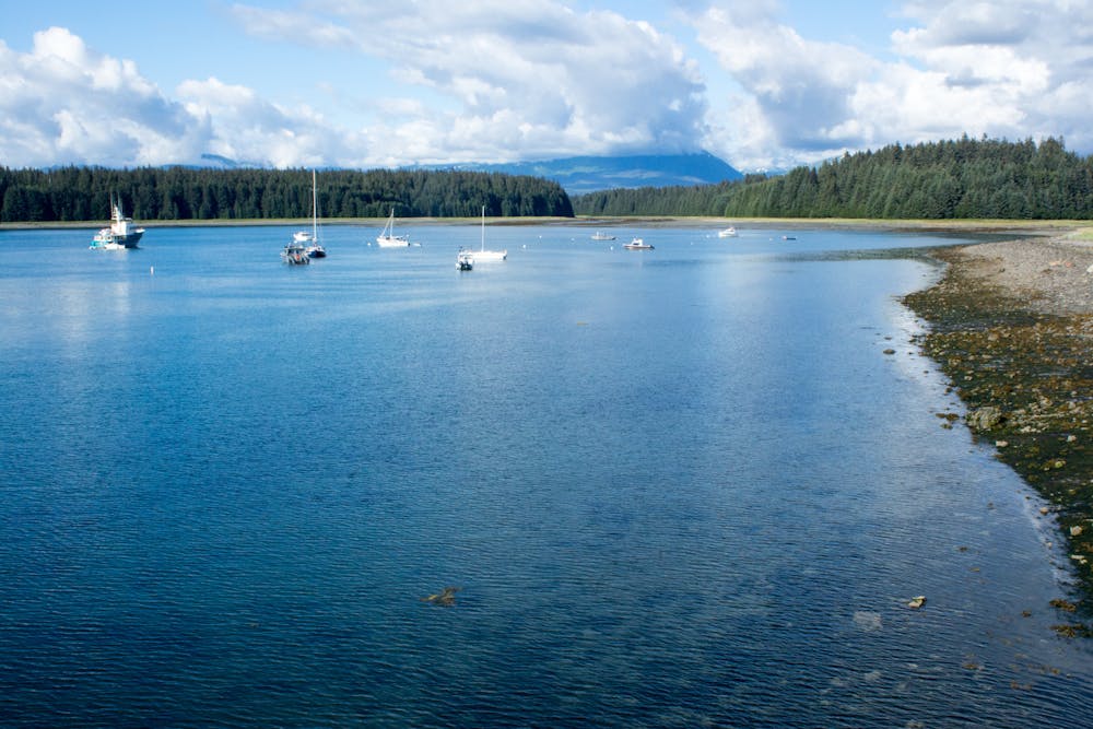
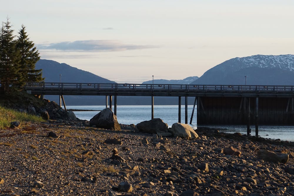
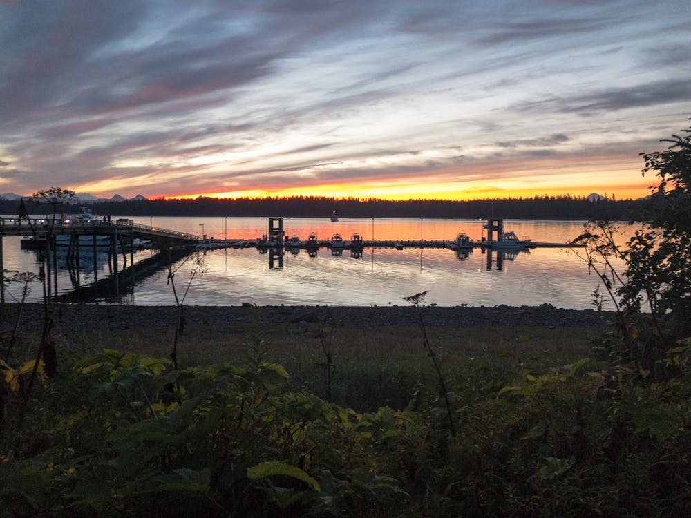
As mapped, the trail begins at the public boat dock at Bartlett Cove and abruptly ends at Park Road. This out-and-back tour of the exhibits is a great way to stretch your sea legs after the boat ride there, and a great option for anyone in the family.
For a slightly longer hike around the visitor center, consider the Forest Trail Loop() instead. The portion of the trail between the trailhead and small pond is also fully-accessible, making it a great option for anyone in the family.
Easy
Walking along a well-kept trail that’s mostly flat. No obstacles are present.

The path is on completely flat land and potential injury is limited to falling over.
Close to help in case of emergency.
207 m away
One of Glacier Bay's lesser-known day hikes to an impressive overlook of the bay.
Moderate Hiking
287 m away
A partially-accessible hike in Bartlett Cove with two spectacular overlooks of a small pond.
Moderate Hiking
1.1 km away
Hike through lush spruce-hemlock forests bound for the mouth of Bartlett River.
Moderate Hiking
4 routes · Hiking

63 routes · Alpine Climbing · Hiking